Did you know that we have an Arboretum in the Pays de Gex?
Even though I’ve lived in the area for many, many years, this was new information to me.
In spite of the name, the location of the Arboretum Saint Genis is in fact in Crozet. See map below.
OK. First things first: An arboretum is a botanical garden specializing in trees. You could also say it is an outdoor living tree museum. Trees in living collections can represent diversity from different parts of the world or from different scientific plant groups.
Arboreta (plural form of arboretum) invest in the health of trees. Because they are part of an ecosystem, trees can become dangerous when their trunks, roots, or branches fail. Specialized researchers study why and how trees fail. Their findings can improve how we manage trees in collections, urban environments, and the wild. In other words, the trees in an arboretum are not just there because they’re nice to look at; they’re also being observed and studied!
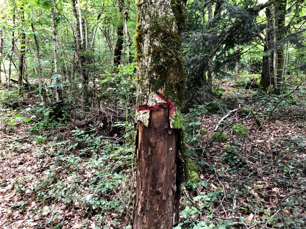
The plantation in Crozet was done in the late 1980s. You can see that it is a bit overgrown by now and I wonder how much research has taken place in the last few years. It looks like the commune of Saint Genis lately has started to restore it with new signs replacing trees that have fallen down, and also removing those that have toppled over.
Even if a little overgrown I will definitely recommend a visit. On a hot summer day, this is the perfect place to go for a small stroll. The path itself is only 850 meters but can me made longer if you walk along some of the other paths available in the area.
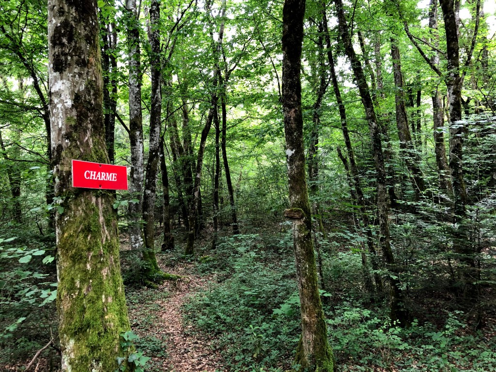
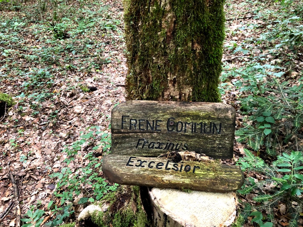
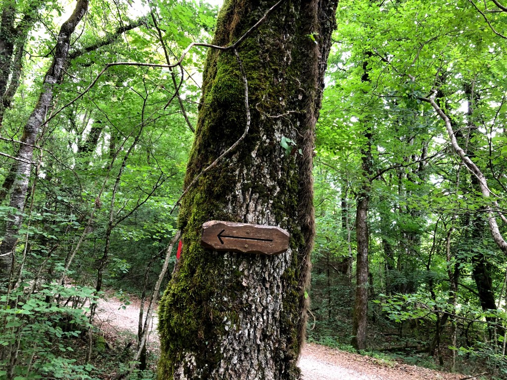
If you have small children, 850 meters might just be the perfect length for a walk, and following the arrows that indicate the direction and spotting the name plates on the threes makes it really good fun. Towards the end of the path, you will find an area with a few huts made of branches where the kids can play.
If you want to read up on the various types of trees you will see I have listed both the French and the English name and put a link to Wikipedia that can be consulted.
Walking around the Lake in Nantua and visiting the museum dedicated to the French Resistance.
If you live in the Pays de Gex or Geneva area, have you taken some time to visit Nantua?
This little town used to be on the main route between Geneva and Lyon. Since the motorway came into existence, people tend to pass it on the impressive viaduct, barely getting a few glimpses of the small town and adjacent lake before entering a tunnel.
The drive there should take you just under an hour, depending on where you live. Why not take that old route to Lyon, passing Chatillon-en-Michaille and Saint Germain de Joux. This should take just a couple of minutes longer than the motorway (according to my GPS), and you won’t have to pay the motorway fee.
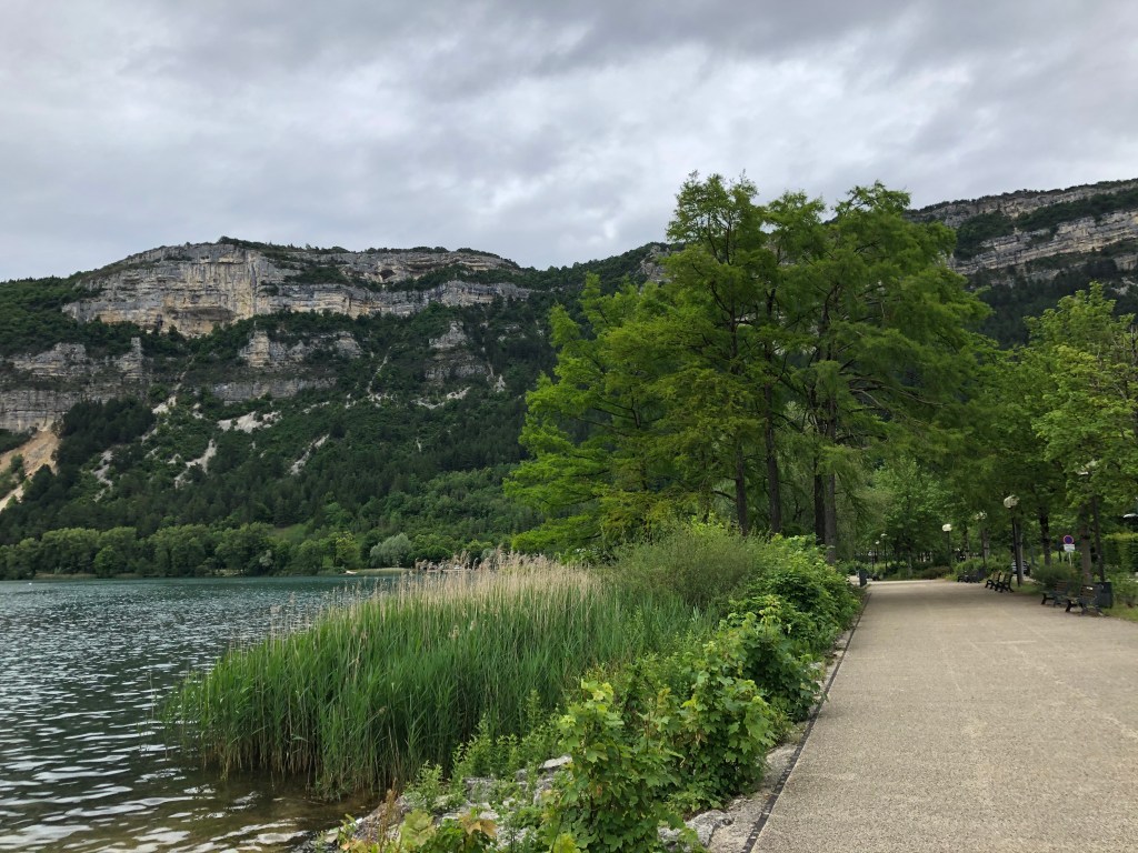
I have wanted for many years to verify the possibility of walking around all of Lake Nantua. As it turns out, waiting for so long was actually a good thing. A beautiful walkway has recently been built around the whole lake and the inauguration took place only last year.
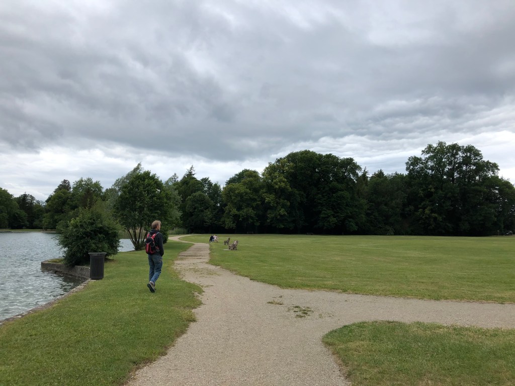
If you visit Nantua on a Saturday afternoon or Sunday, the path along the south side of the lake is even closed for cars, making the walk even nicer. There is a nice big parking by the lake in Nantua, but I believe it must be packed on nice and sunny days. If this is the case, you could try your luck at the other end of the lake, in one of the small towns of Montreal-la-Cluse or Port and start your walk from there. There are also some smaller parking areas along the north side of the lake.
You will find the map of the walk at the bottom of the post. If you are an adult it should take you no more than around 1,5 hours to walk around the whole lake. However, you may want to stop for a picnic, either at one of the benches somewhere along the lake path, or in Montreal-la-Cluse where there is a big park with picnic tables. It is actually forbidden to go for a swim in most of the lake, apart from the designated areas close to Nantua where there are stairs installed for entering the water and a special peddling pool for smaller children.
Around the lake you will find that you can do many types of water sports, including sailing, diving and fishing.
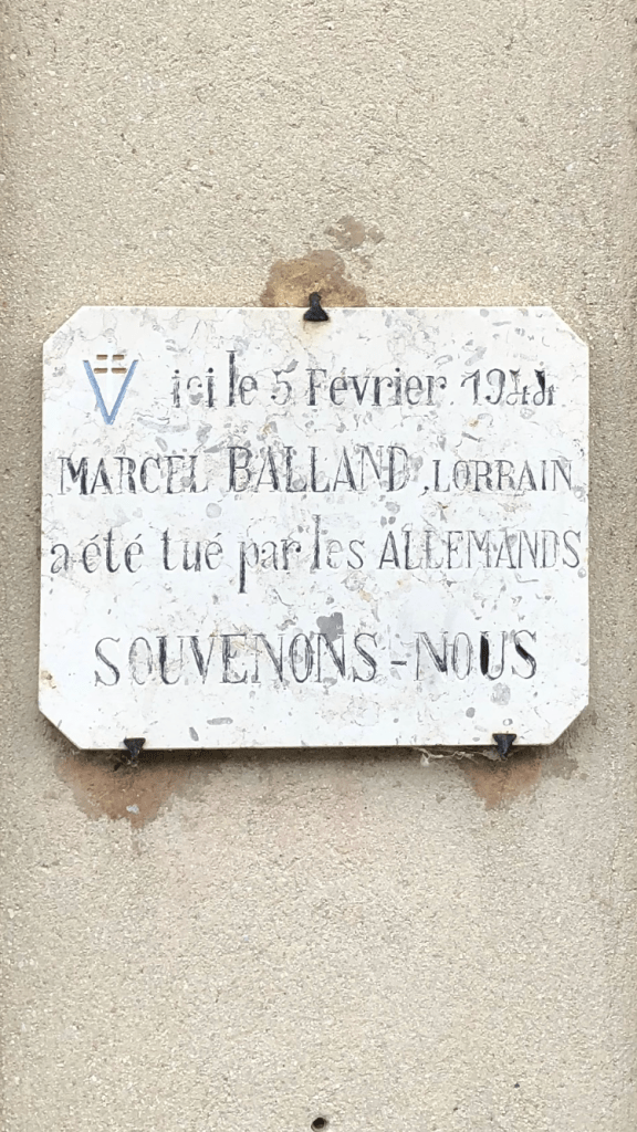
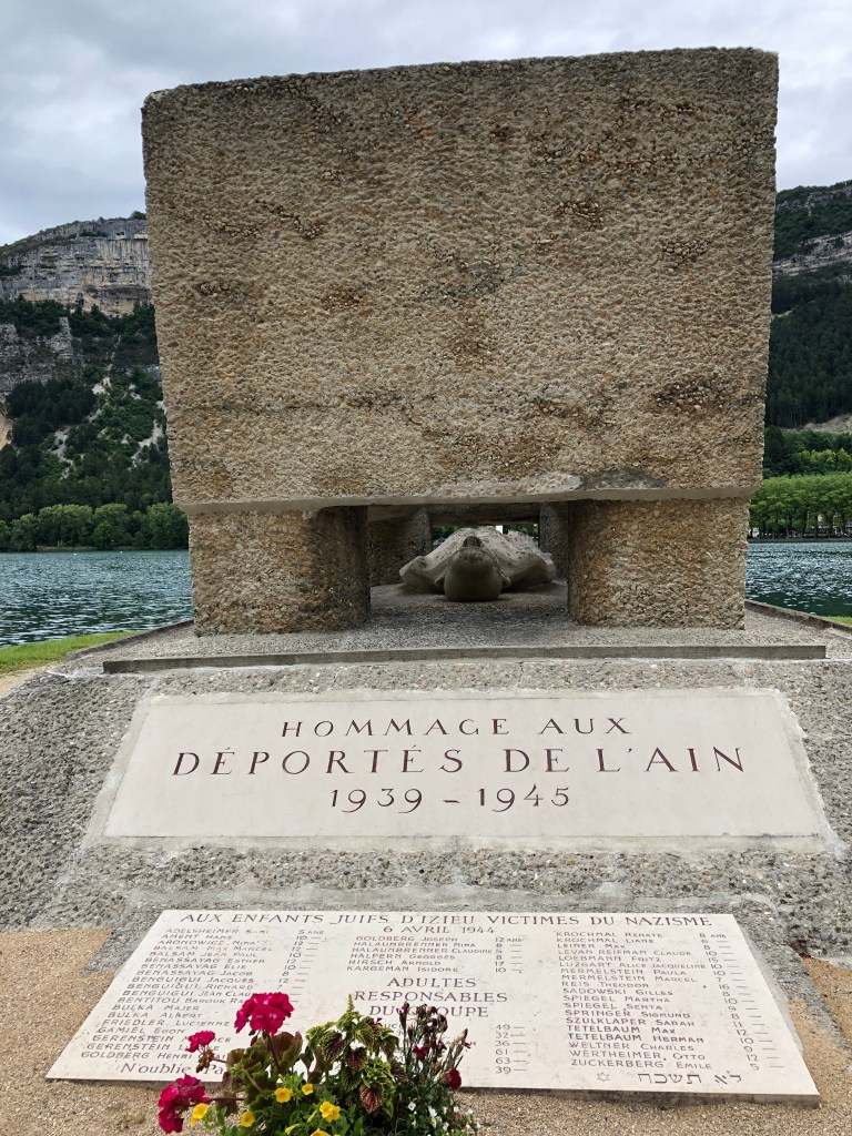
If you start your walk in Nantua, going clockwise around the lake, you will be passing a memorial site for victims deported to concentration camps during world war two. In the Ain department, the resistance against both the occupying Germans and the Vichy government was particularly strong. The monument was inaugurated in 1949 and is a symbol of hope and the right to freedom for all. It has the names engraved of the 595 people who died and were never able to return home. It is very hard to walk away untouched by all the suffering these poor souls must have gone through.
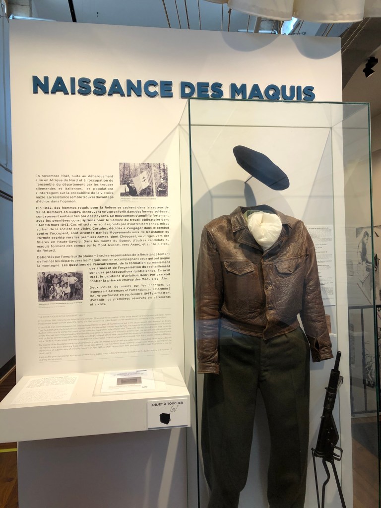
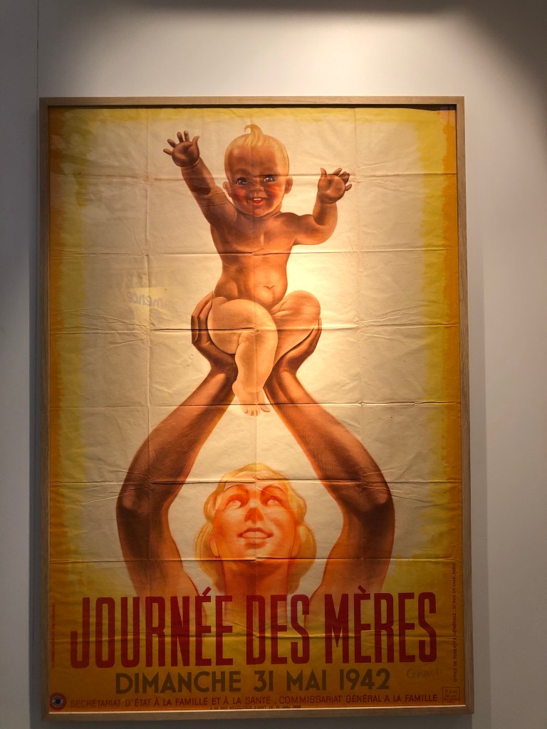
After completing our walk, we visited the Musée de la Resistance et Déportation in Nantua. This museum offers great insights into the resistance movement in the region during the second world war. Most of their information is also provided in English. Since our visit took place right after the opening after the COVID-19 confinement in 2020, there were still restrictions on many things, such as the number of people allowed at any time. Also, we could not borrow any of the audio devises and we could not take any leaflets. The staff however was super friendly and made the visit extremely pleasant in spite of the restrictions.
I strongly advice to set enough time aside for a visit to the museum, either before or after the walk, because this part of the local history is very fascinating and there is a lot to take in.
Every time I come here, I’m stunned by how beautiful and well maintained this little lake is. It’s clear that many people treasure this little hidden gem of our region.
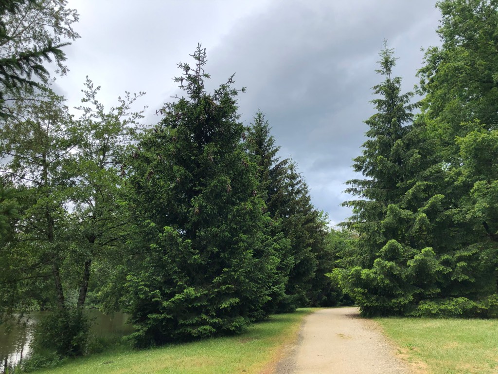
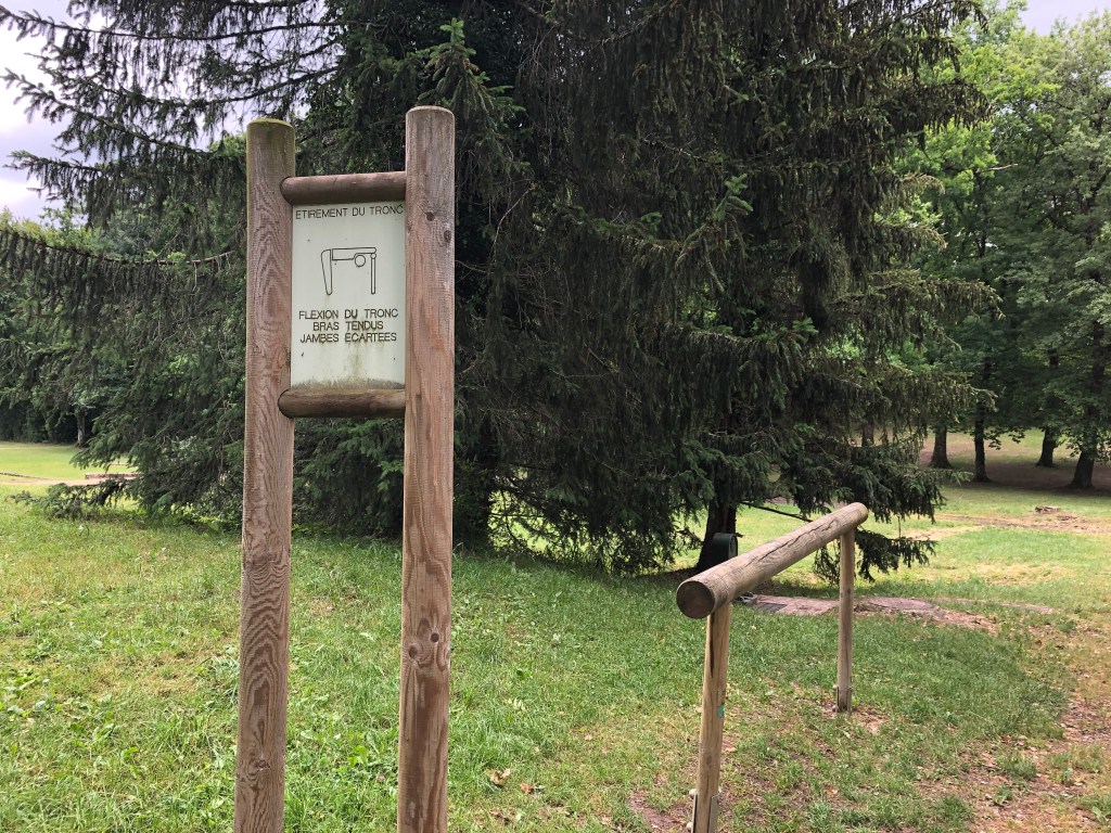
On the little hill behind the lake you will also find paths lined with wooden gym equipment, available for free for everyone.
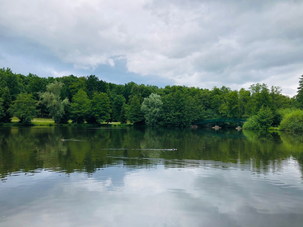
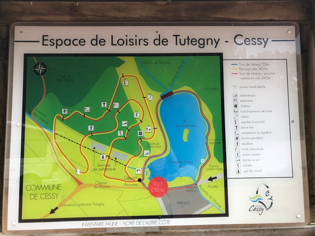
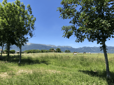
The commune of Cessy has created a rather big car park and you will find benches, picnic tables and barbeques, making this an ideal outing on a nice summer day. Being in France you will of course also be able to play Petanque on the two lanes created especially for this activity.
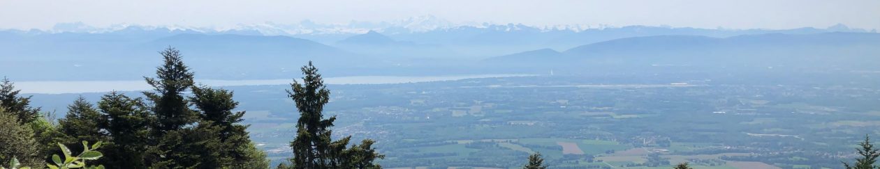
The walk around the small lake is only 700 meters but feels much longer because you will be busy looking at the flowers and bird life. Being surrounded by the Jura mountains on one side and the Alps on the other is also adding to the beauty of this site.
For small children this is a true paradise with so much to see and do. They will quickly forget complaining about being tired.
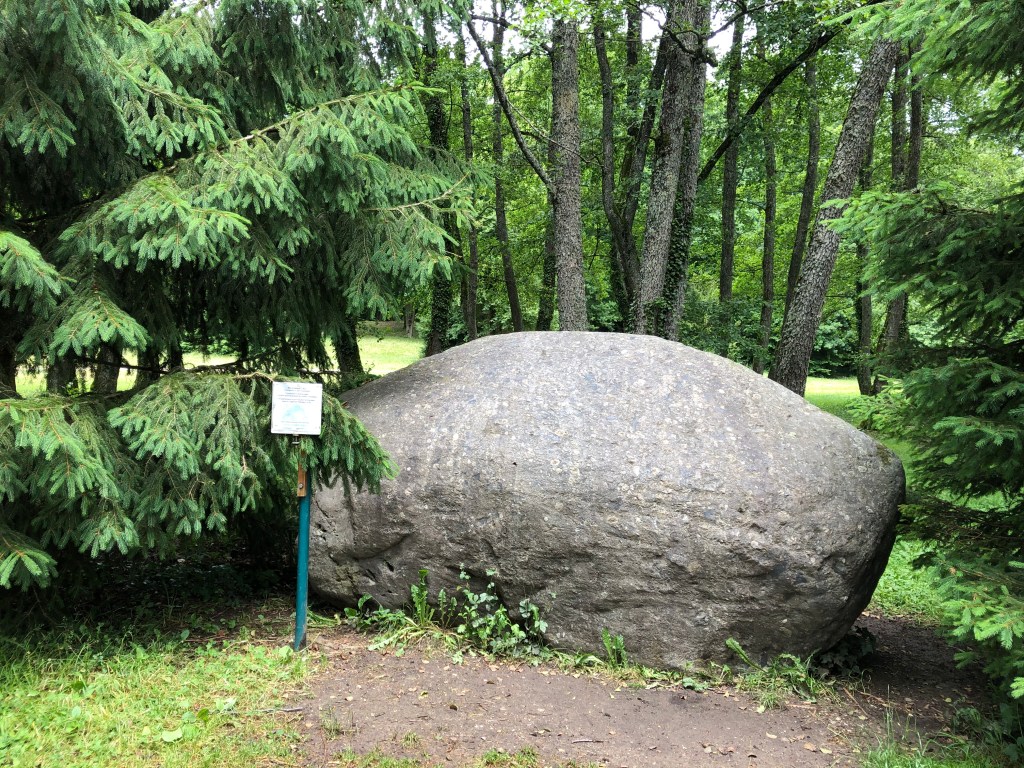
If you look closely you will see several big rocks. These were probably transported here all the way from Martigny in Switzerland by the ice thousands of years ago, when glaciers ruled this part of Europe.
If you think walking 700 meters is not enough, you should stroll up the little hill and make use of the sports equipment you find along the route.
Finally, if you have purchased a fishing licence (www.cartedepeche.fr), you could try catching a carpe, pike or any of the other species found in the lake.
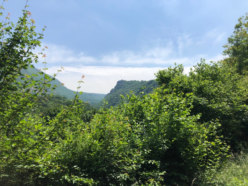
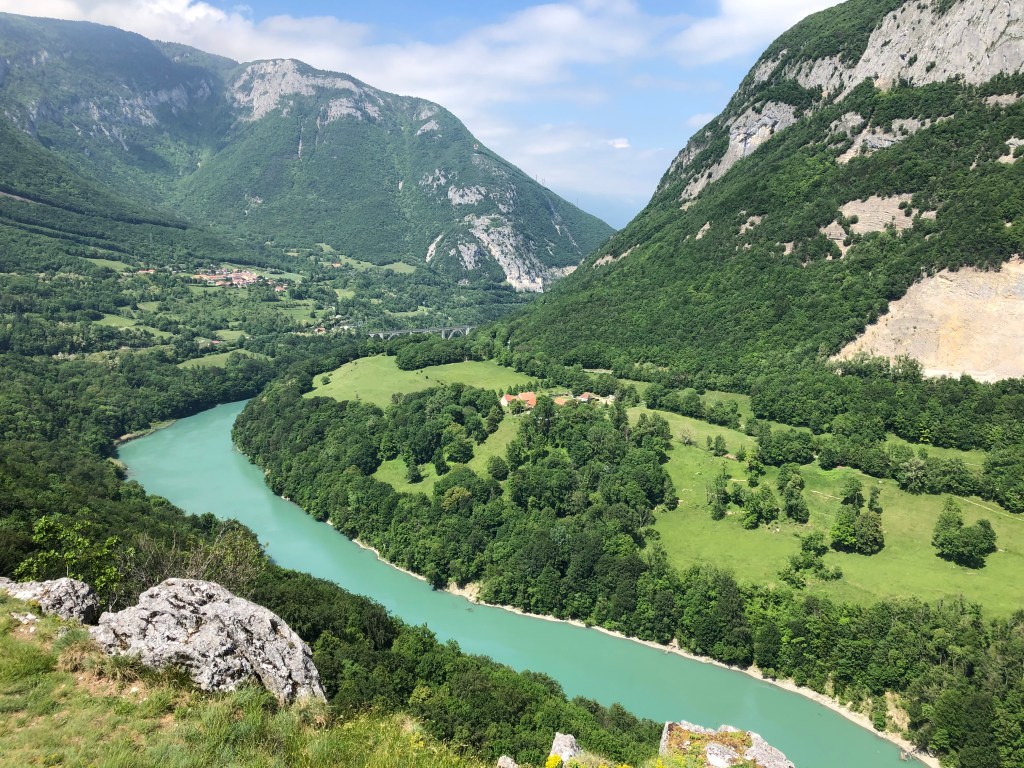
Features: Forest – river – ruins – history – panorama view
Overview: Accessible for all, but be prepared for a couple of steep uphill climbs
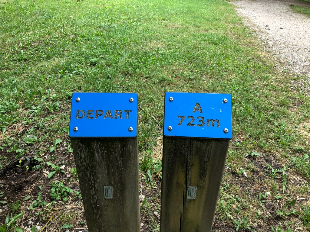
Time: around 2,5-3 hours Km: 8,5
You will find the map for this walk at the end of this post.
Description: This walk starts from the parking atFort l’Ecluse. The exit for the parking is right after the tunnel if you are coming from the Pays the Gex region; make sure to start braking before you exit the tunnel as it is very easy to miss (speaking from my own experience here).
The walk is marked with yellow signposts, but I think there must have been a lot of water flowing down the river Rhone lately because for the stretch along the river’s edge it’s not so obvious where to walk. Hopefully the commune of Leaz will fix this, because it is a very beautiful walk that more people should discover.
Follow the signpost that takes you along the Chemin du Lavoux and past a very cute collection of houses and gardens.
When you come to the railway lines, you cross over, turn right and walk through a small underpass. Follow the path until you come to the Moulin the Condière crossing, then follow the small path on your left side that will take you to Leaz-village.
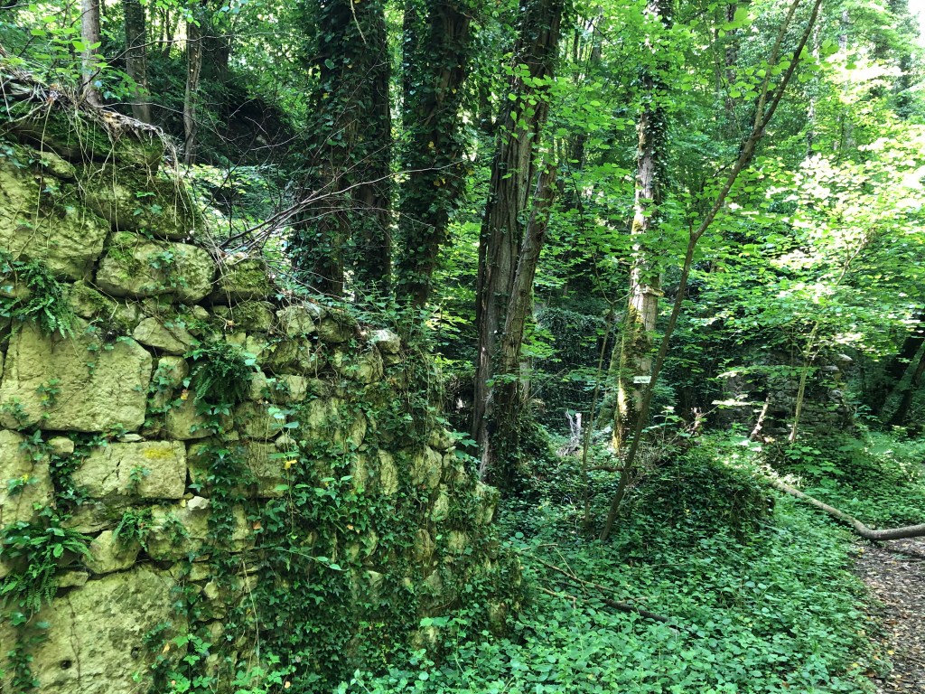
As you walk down along the old stream, you’ll notice something interesting on the right side of the path: you’re passing lots of old ruined houses, some of them barely visible in the overgrowth of bushes and trees. This is a clear sign of milling activity from way back. Try to imagine this as a very lively place back in the days, when many families would have been working and living here.
Les Moulins de Condrière:
The first mills were built in the 14th century, so around 700 years ago. These mills were the main component of a lucrative commercial and economic activity in the region. At the time, the local activities also included of gold panning. The Lord of Leaz built a sawmill and established a ferry service on the Rhone to transport the goods. This being along the travel route from Geneva to Lyon, the Lord of Leaz also built an inn to provide travellers a bed and time to rest their feet.
Follow the path until you come to the stream named le Rochefort. Normally there should be a small bridge to take you across. However, as mentioned, there must have been a lot of water in the area this year, because the bridge is gone. Hopefully, the commune will replace it soon. For now you’ll have to jump across on the rocks, which is luckily not too difficult.
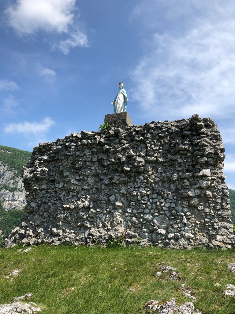
Once over the stream, walk up until you find two paths. Both will take you to Leaz. I chose the one on the left which took me along the Rhone and below the belvedere. Stay on this path until you meet a road and walk up to the village of Leaz. The village is very charming, so take some minutes to explore before you follow the signposts towards the belvedere and the Vierge de Leaz.
Castle ruin:
In the 19th century, an inscription found in the ruins show that the site on the hill has been occupied since Roman times.
In the 12th century it was property of the Priory of Payerne (Vaud, Switzerland).
In the 13th century, Leaz, thanks to the Baron of Gex Simon de Joinville and his wife became a market town. This basically meant that the Baron of Gex could legally claim half of the profits made by the hard-working millers and any other prosperous activity.
This economic prosperity continued into the 14th century.
The religious wars in the 16th century and the annexation of Pays de Gex by France in 1601 destroyed the castle and must have changed the life for everyone living in the houses just below the belvedere summit. If you look closely you can see traces of the ancient houses on the slopes of the hill.
Legend of saint Victoire:
Victoire was a teenage girl who looked after a herd of goats on the peaks of the Vuache mountain. One day she heard a voice telling her to build a chapel (this apparently happened a lot back in those days). She then erected a chapel on the western tip of the Vuache and founded a small religious community.
The years passed in peace and meditation until groups of Saracens (which was the term used in the middle ages to refer to Arab Muslims) went up the Rhone valley to raid and plunder the villages near the river (another popular activity back in those days).
Hoping to find valuables, the plunderers climbed the mountain. Victoire, who had been able to shelter her nuns, suddenly finds herself surrounded by the Saracens. When cornered at the edge of a cliff overlooking the Rhone, she prefers to throw herself into the void rather than to fall into the hands of the invading Saracens. But, according to legend, God could not ignore such a faithful servant, and an invisible hand seized Victoire as she was about to crash to the ground and carried her across the river to the rock in Leaz. Victoire was then sheltered by the residents of Leaz and would later return back to the other side of the Rhone to rebuild her chapel.
After taking in the history and the beautiful view of the Rhone, you continue the circuit. Keep to your right after the parking when coming down from the belvedere and take the first path you see on your righthand side. This will take you back to the stream Rochefort. After the stream you also have the option between two paths. You can choose to pass the Moulins de Condrière again or take the upper path. They will both take you back to your starting point and the parking at Fort l’Ecluse.
Description: This is the perfect walk to do with small children, because it is not too long and there is enough to see and explore to keep them entertained.
I parked my car at the entrance of the quartier near the school. See map below if you do not know the area very well.
The residential area of Bois Chatton was built in 1973 and it consist of 225 houses. If you look closely, all the houses must have looked more or less identical when new, but the residents have individualized them over the years. It is actually a very charming residential area built like a labyrinth with a communal area/playground in the middle.
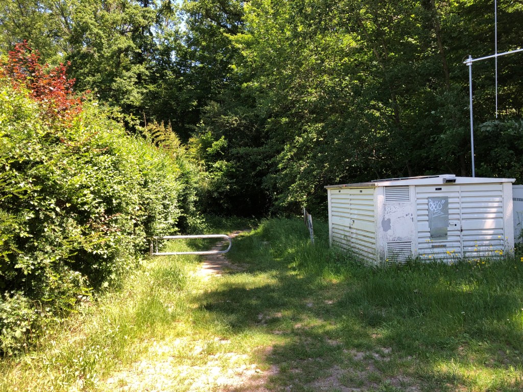
The entrance to the forest is where Rue Turet and rue Versoix meet.
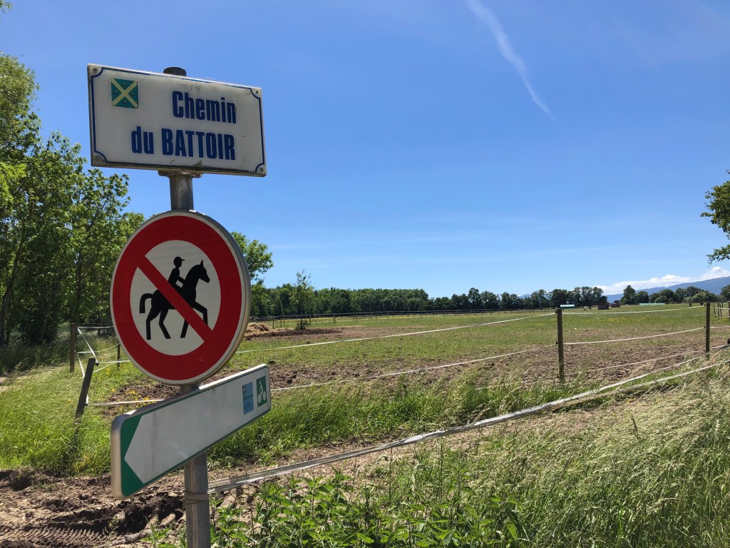
Follow the trail into the forest until you come to a crossing with a wide path, then take left. Follow this path across the fields until you come to a new crossing and spot the sign that says Chemin Battoir.
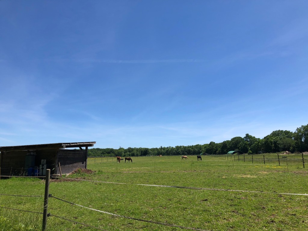
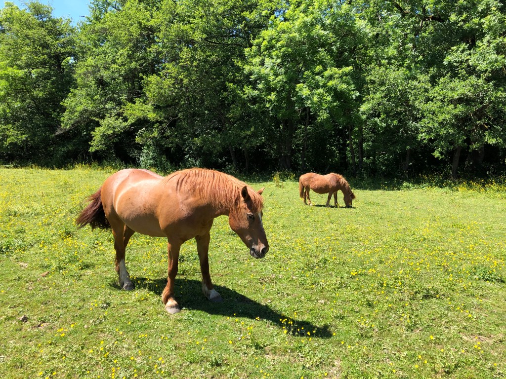
You will now walk along a small stream, La Lillette, where you can see the horses from Bellevue stables. There are benches and picnic tables along this path, so why not bring your lunch or snack and enjoy an outdoors meal?
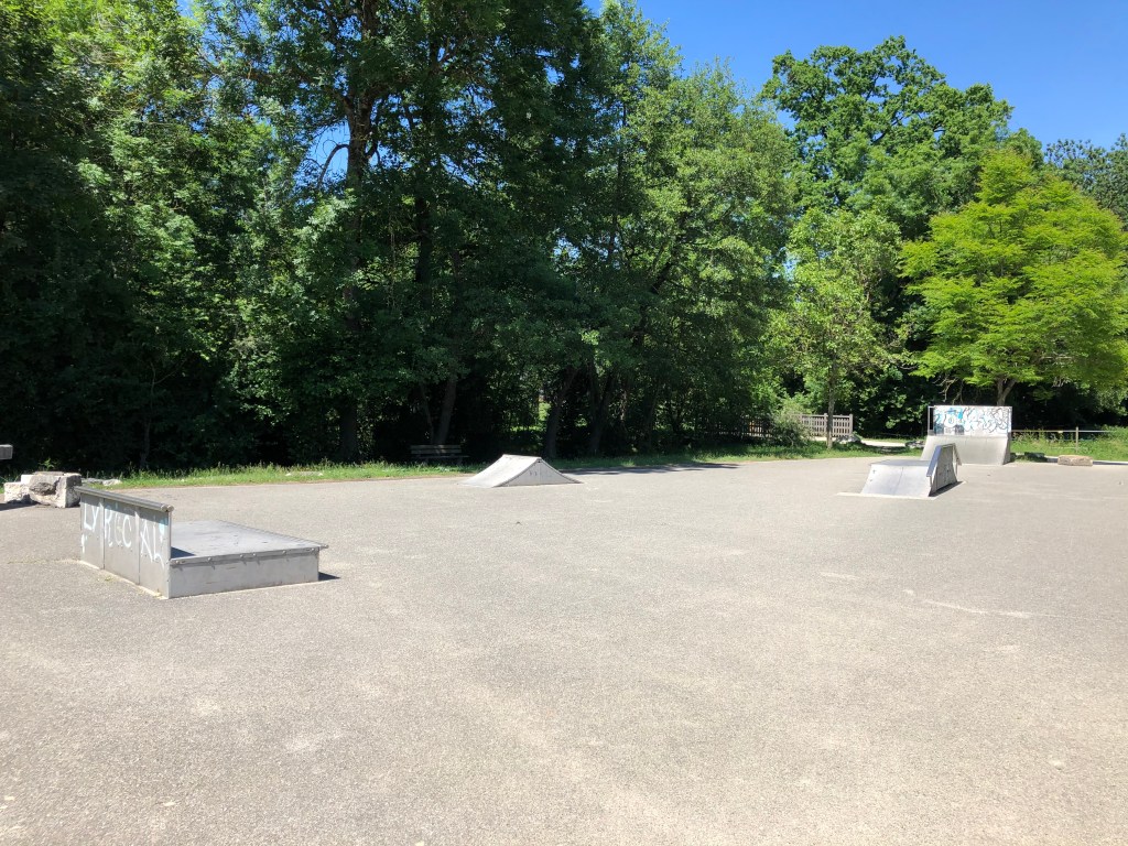
Next to the stable, there’s even a skate park.
Follow the path back to the entrance to the residence, where you started the walk.