Tag Archives: Ain

France: Barrage Genissiat – French Niagara Falls

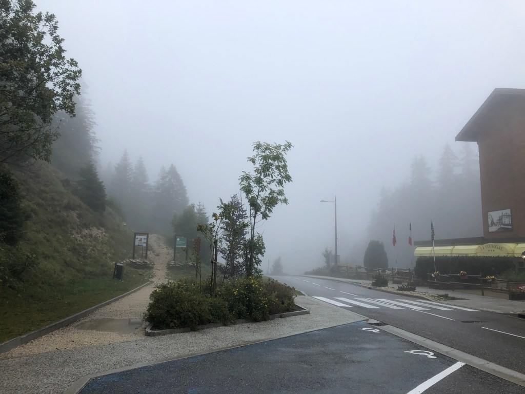
Some Sundays you wake up and know you would like to do something, but you are not exactly sure what. In addition, the weather is not on your side for a long hike in the mountains, and you don’t want to go for a walk just around the block where you live. Today was one of those days; the clouds and fog was hiding the Jura mountains and keeping the Alps out of our view.

I’d seen some advertising of the Barrage de Genissiat and thought it could be interesting to give it a try. Driving there only took us 45 minutes from Pays de Gex (I’ve spent more time driving to work in Geneva).

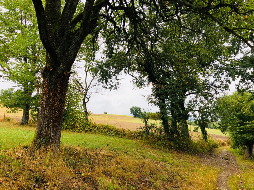
As you’ve maybe guessed, this outing was not planned at all, and in the rainy weather a picnic was not very tempting. We decided to find a restaurant along the road – sometimes a risky project in the French backwaters, but as it turned out we had no need to worry: in the small village of Billiat, just a few minutes away from the barrier, we saw a sign for an open restaurant and decided to give it a try. The place was very un-assuming on the outside; just a beer sign and a small menu board. Turned out the restaurant is also a bar and a small hotel, apparently mostly catering for local workers. Entering the bar area, we were greeted by three senior citizens clearly working on their Sunday lunch apèro.

We were warmly welcomed, and shouts were made for the owner, who quickly appeared from the kitchen area to show us to a free table. Actually, every one of the dining tables were un-occupied: apart from the before-mentioned clients enjoying their apèro, we were the only customers in for lunch this Sunday. There was no printed menu, but the presumed owner suggested the menu de jour. I have to admit I was a tiny bit sceptical, having visited a good few restaurants where food comes off the shelf (or freezer) of the local supermarket, and where you can taste that the sauce is of the sort that comes out of a bag (just add water and stir…)

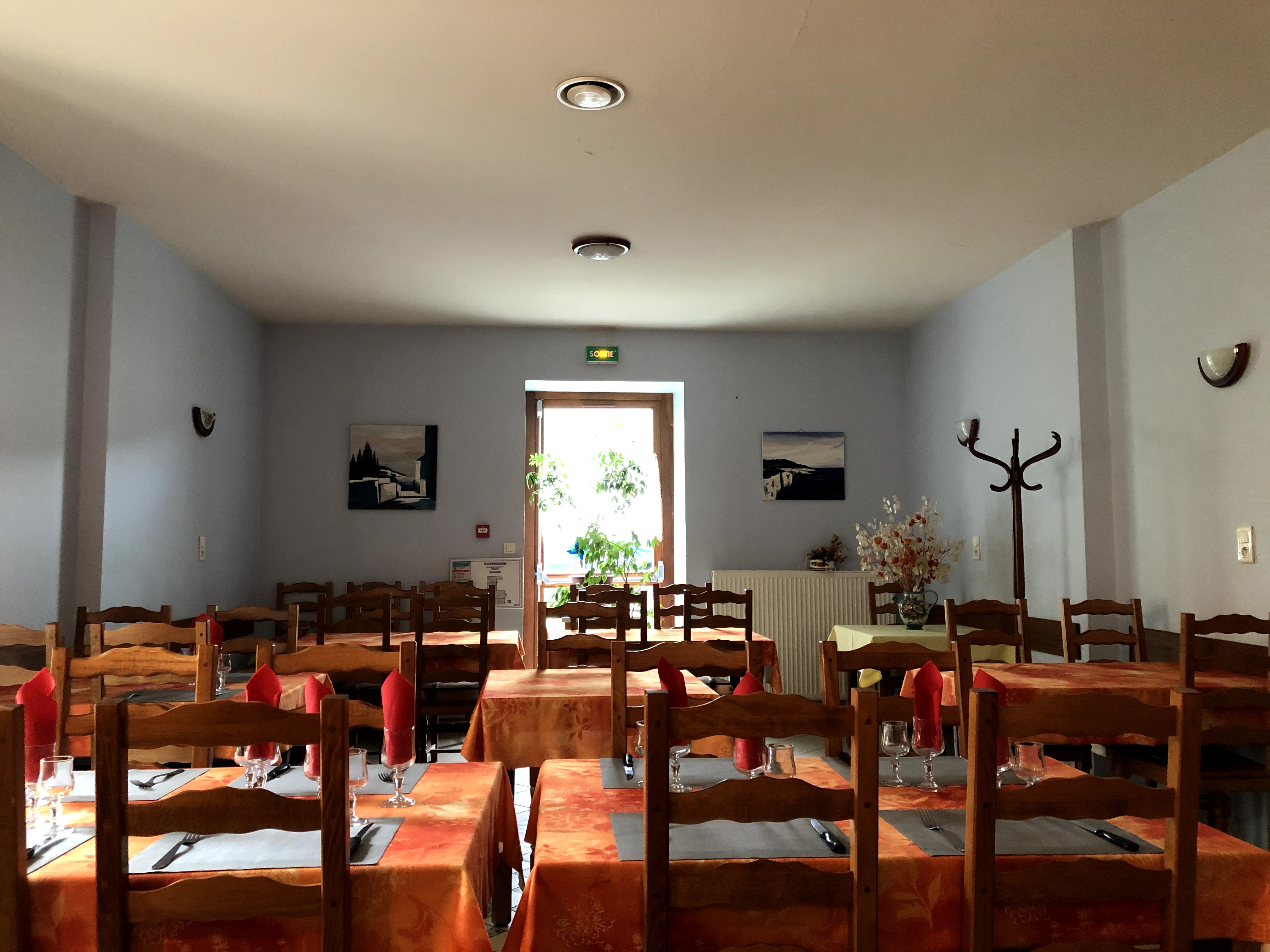
As the entrées arrived, we soon realized that everything on our table was home made. We had a terrine for starter (tête de porc – no, I won’t translate, just confirm it tasted great), followed by veal stew and gratin dauphinoise for our main course. And it was delicious! Not the fancy kind of food you get in restaurants that aspire to look twice as expensive, but the type of food your grandmother would have cooked (at least, if she was French and lived somewhere in the Bugey area). It’s really hard to come across this type of local, un-pretentious cuisine in restaurants today. All the meat was locally sourced and was tender and full of flavour. The price for a three-course menu came to only 18 Euros. I’ll surely be back, and hope that you will be visiting this place, too.

A few more words on restaurants before we start our walk (this is important, so I hope you’ll bear with me): when we first arrived in the Pays de Gex in the late 90’s, there were several family-run restaurants like this, but today, they’ve all closed down. We need to support these places, otherwise, in 10-15 years we’ll only have the choice between pizza parlours and kebab joints (apart from the ubiquitous burger places).

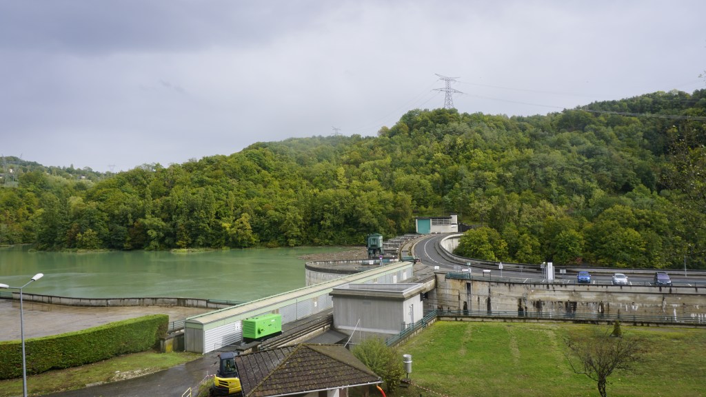
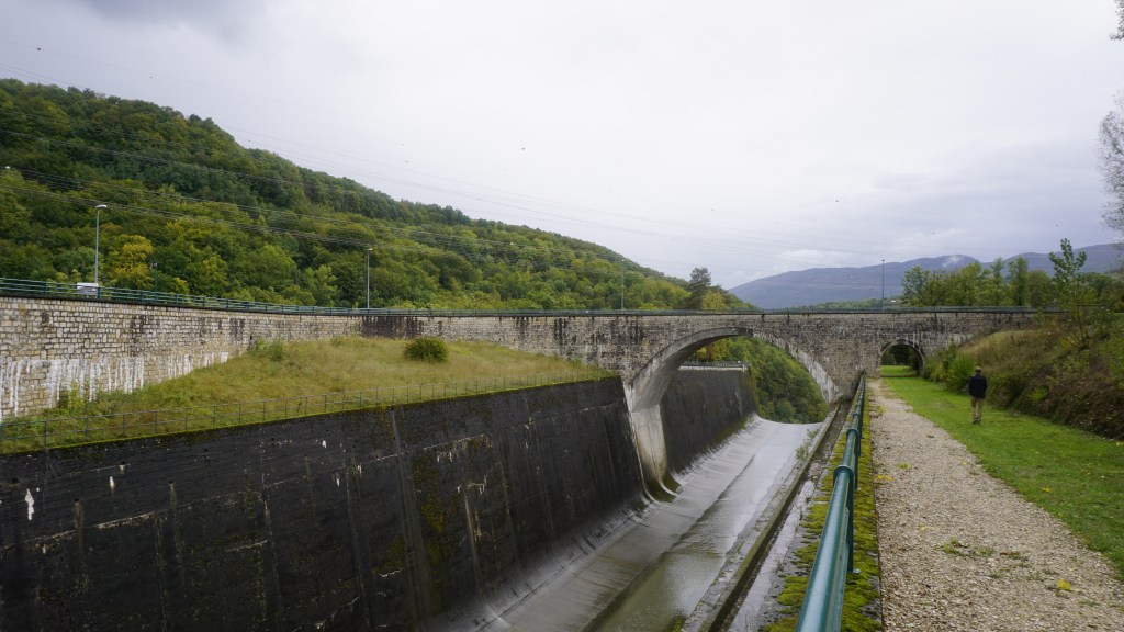
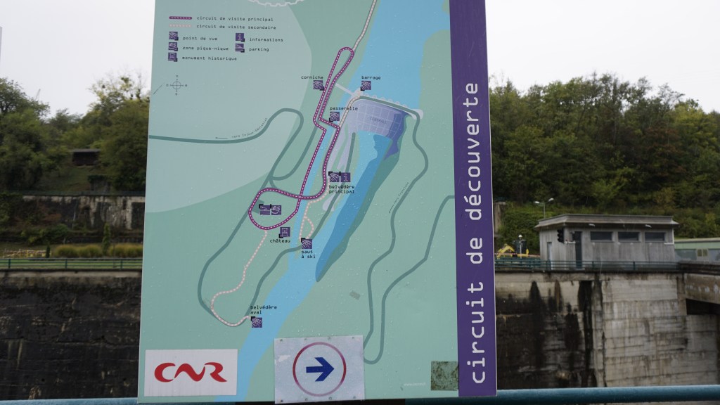
On with the trip. After our pleasant restaurant surprise, we rolled down the hill towards the Barrage. Now, you may not find the idea of visiting a hydroelectric dam very enticing, but this is truly a sight to behold. As you start to walk around the site you realize that this is quite a spectacular piece of construction. There’s a visiting centre where you can get a two-hour guided tour of the power plant. Unfortunately it’s not open every day, and you need to pre-register on their site in order to take the tour, so we had to stay on the outside. Still, there is a lot to see even if you cannot do the tour, so you won’t be disappointed. (If you’d like to reserve the guided tour, you can find the available dates for guided tours here, but be aware that children under the age of 8 are not allowed to enter).

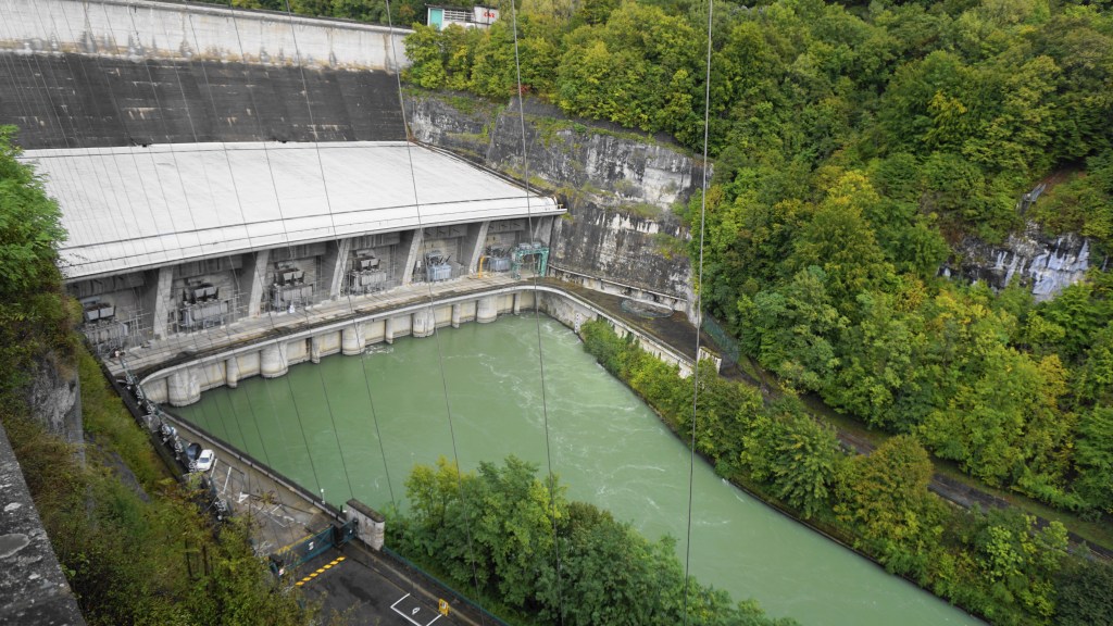
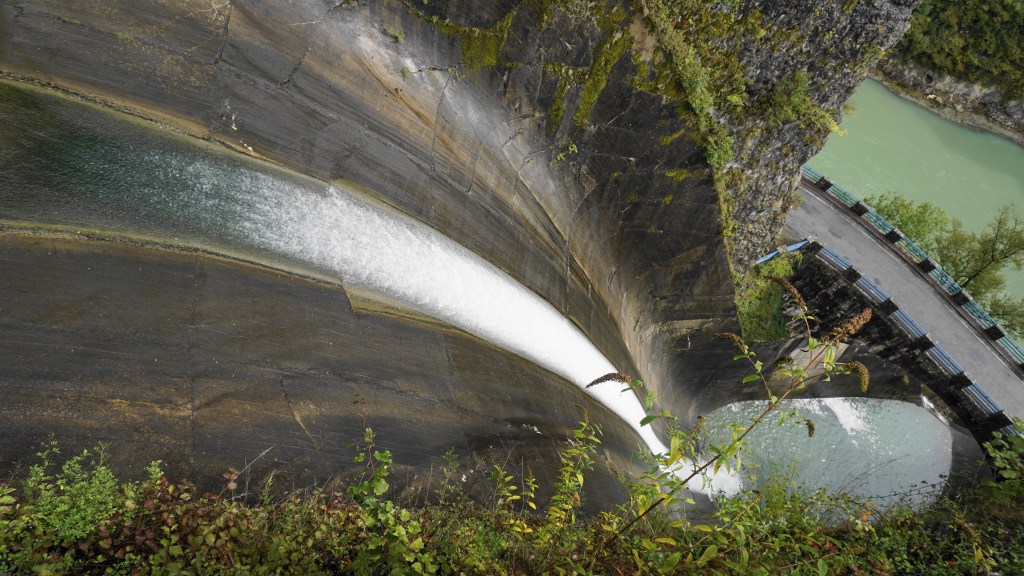
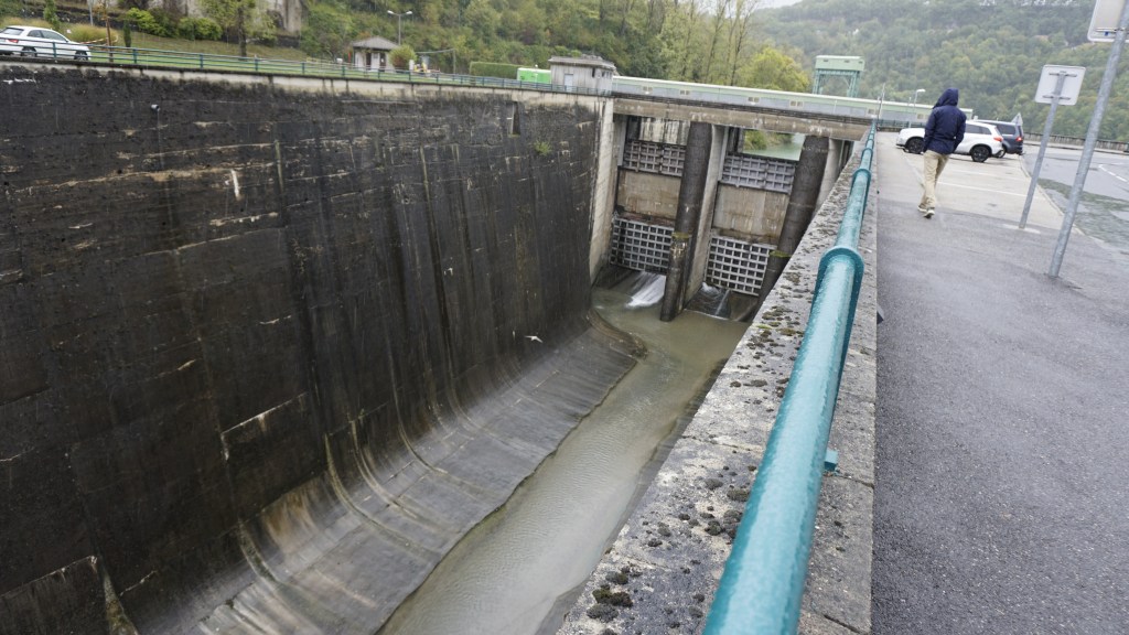
The hydroelectric power plant is classified as a monument of industrial heritage of the 20th century. The work started in 1937 but was understandably halted during World War two. When the power plant was finally inaugurated in 1948, it was the biggest hydroelectric dam in Europe, nicknamed the French Niagara. The height of the dam is 104 meters, and the impressive spillway named the “ski jump” has a 65 meters drop. Imaging going down that slope in a kayak (I somehow don’t think that would be allowed, though).

The energy produced here is essential for the region,and today this dam alone represents 10% of the hydroelectricity produced along the river Rhone, allowing 700,000 households to illuminate their houses (and charge their mobiles).

As a sustainable environment project, the Barrage de Genessiat site has been chosen for a pilot project to collect the wood and vegetation floating down the Rhone river. After being collected, the driftwood is transformed into panelling, and the vegetation is transformed into energy. When crossing the dam, you can see huge amounts of wood on the upper side of the barrage (along with all kinds of flotsam and jetsam that people have managed to “loose” in the river…)

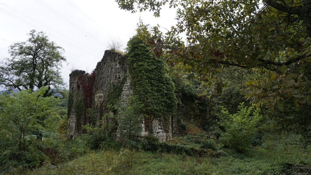
There’s a walkable circuit of some 25 minutes along the dam and the environs, with ample opportunities for picnic and rest. Written explanations are provided in several spots, all in French. Ruins of the old chateau (it must have been very small, but with an impeccable view) can be seen close to the “ski jump” waterfall, and a bit further along there’s a large park-like area where kids and adults can play on a sunny day. A trip well worth doing – and you get to learn something, too!

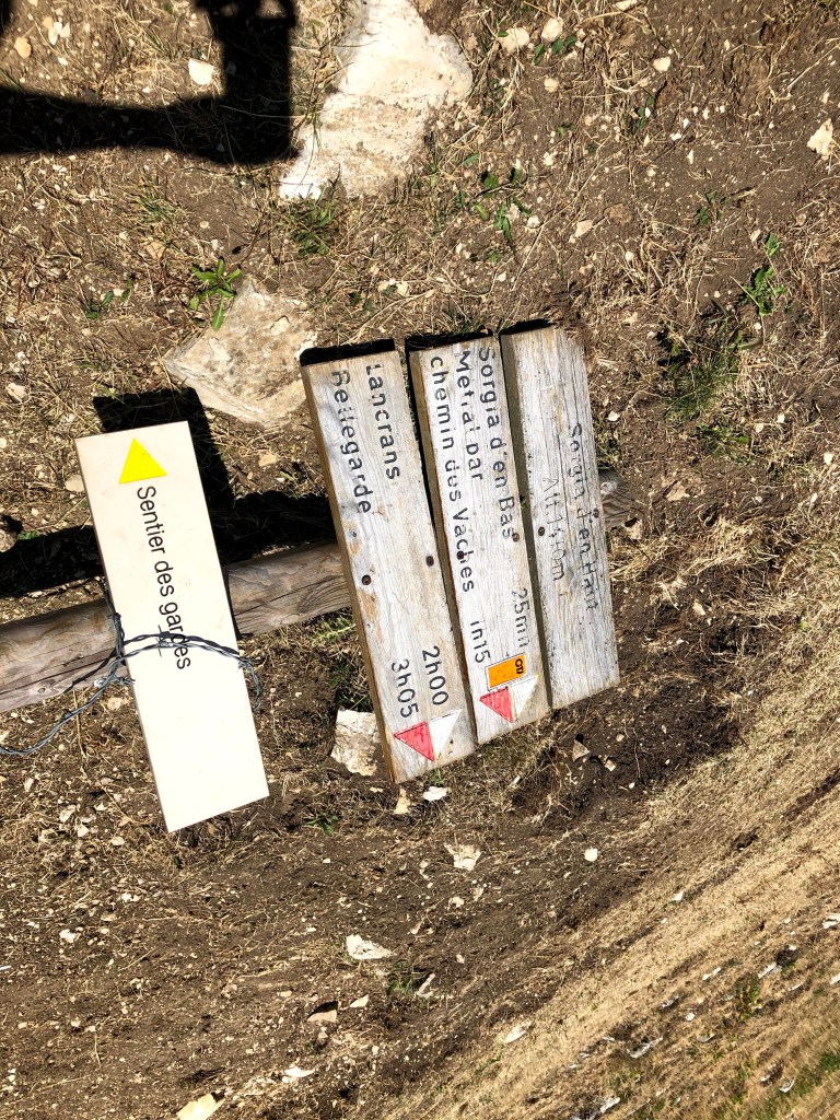
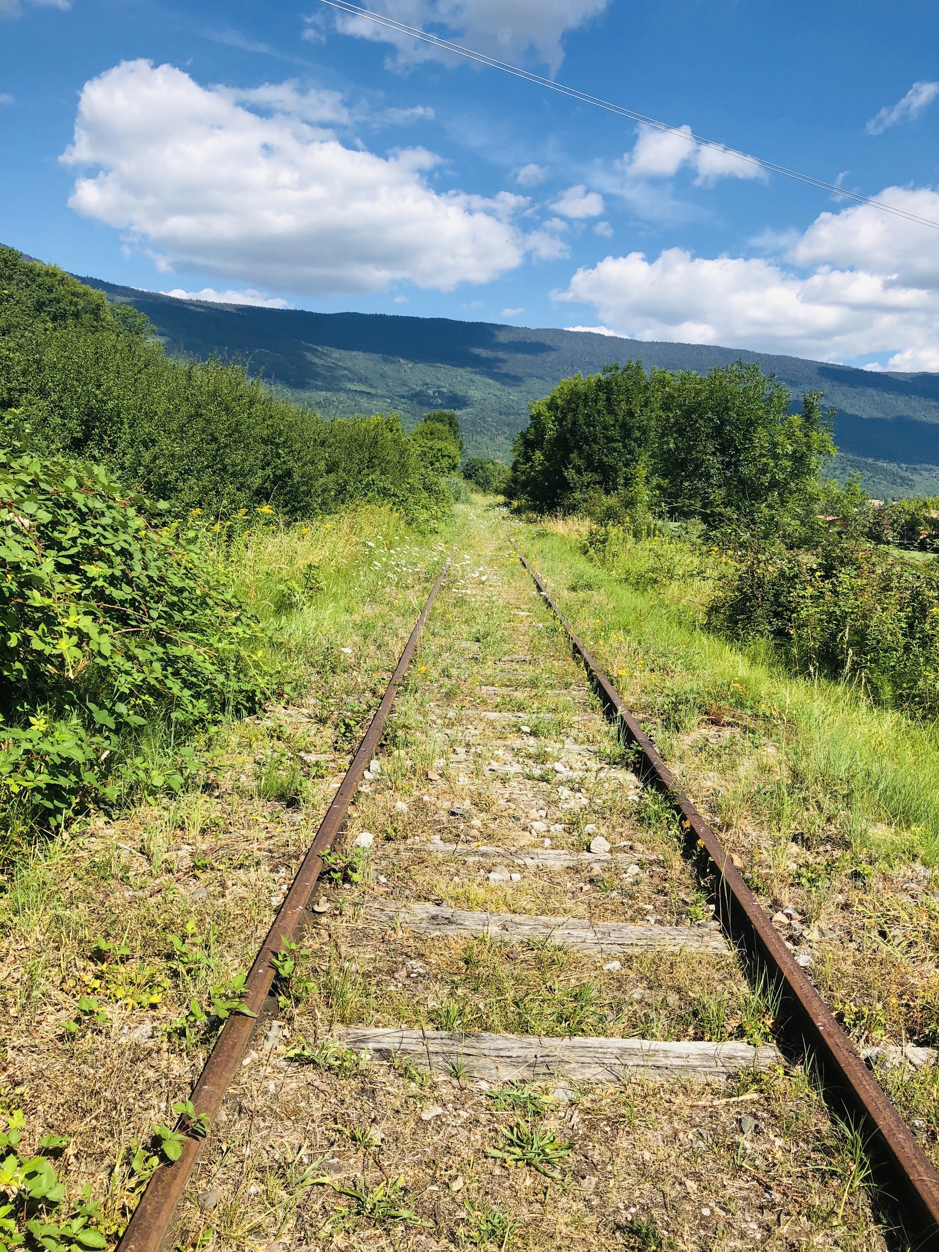
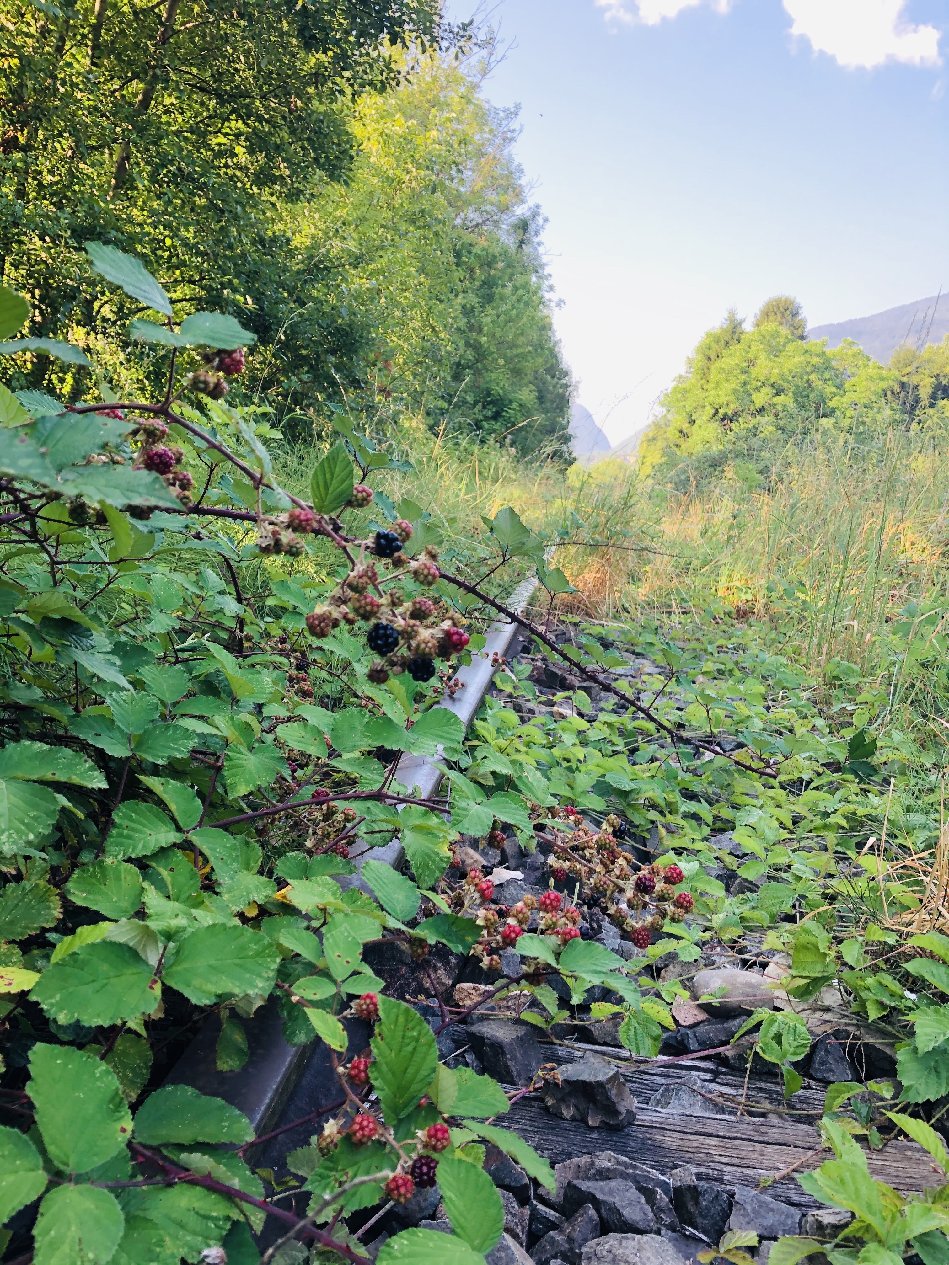
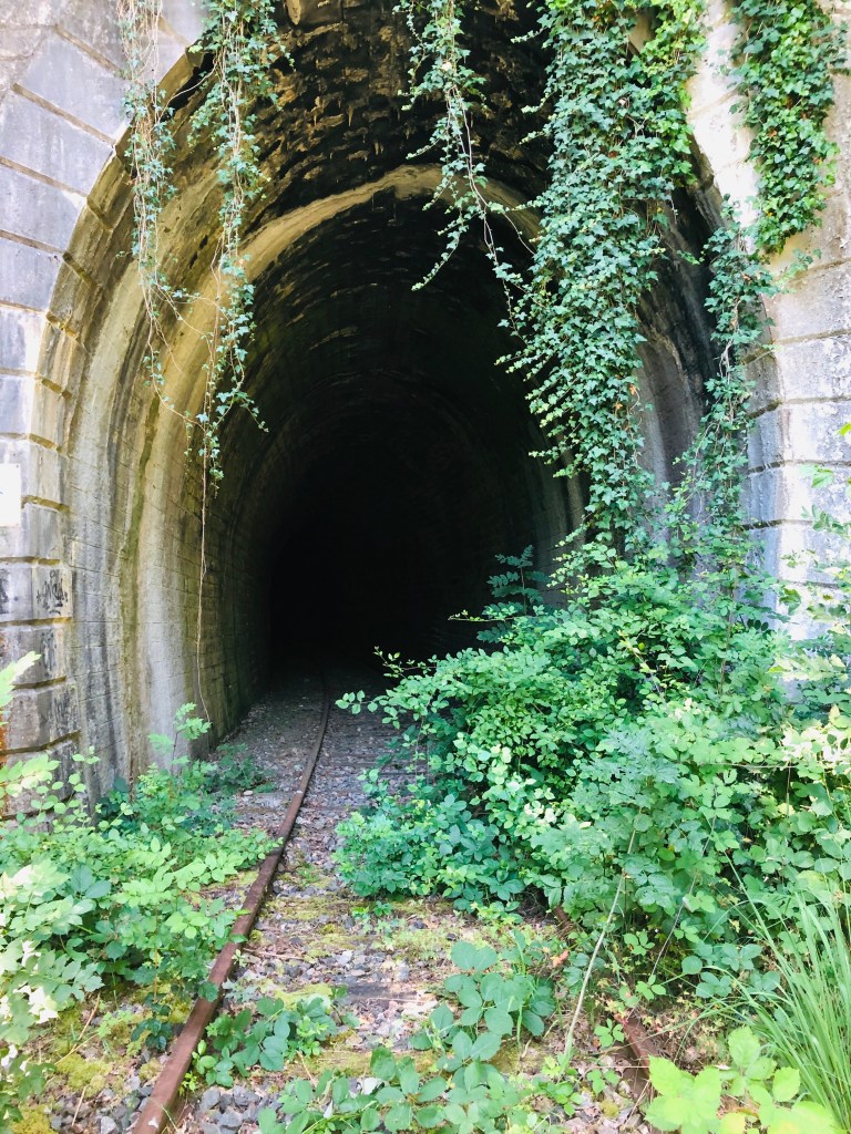
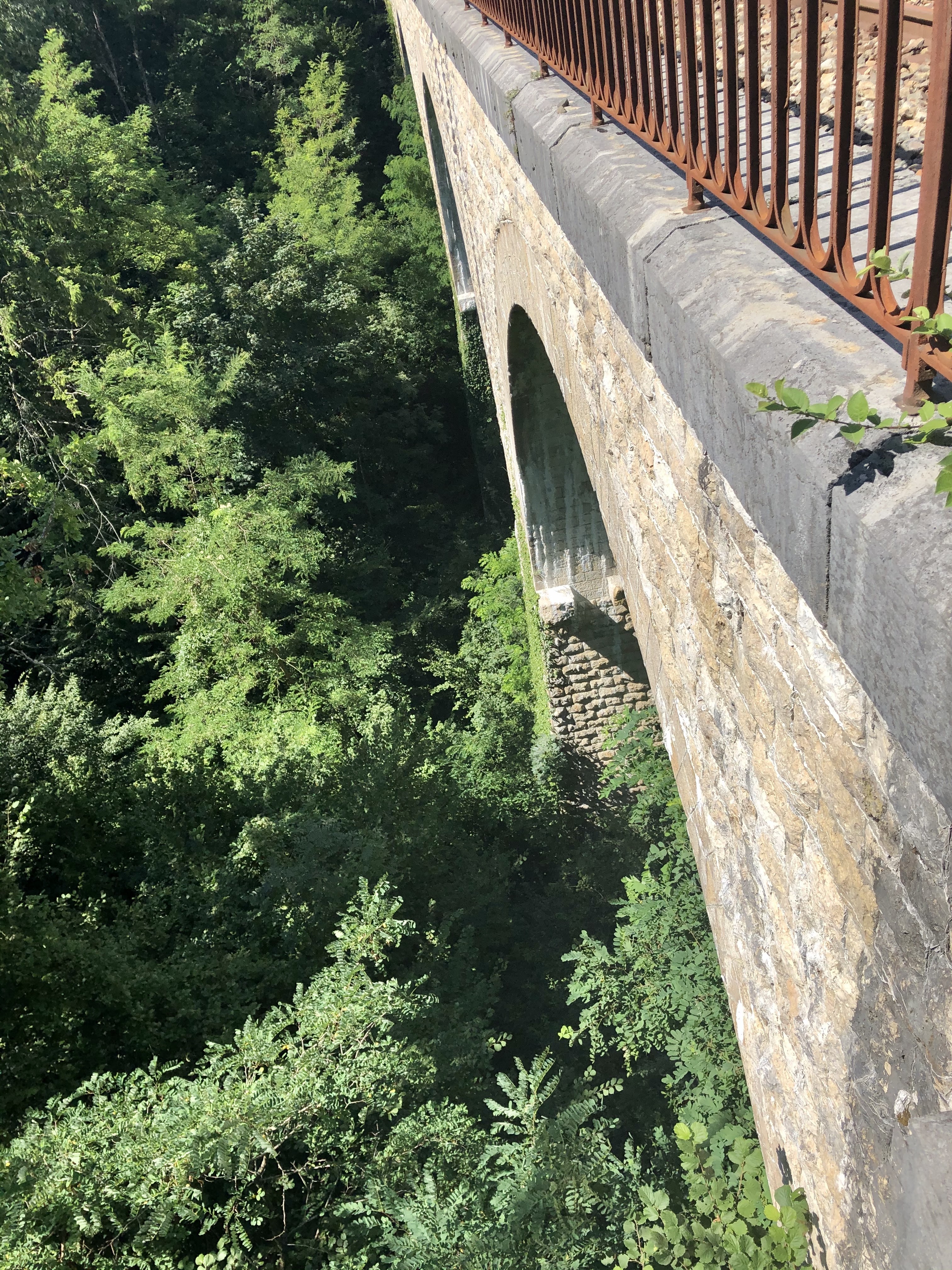
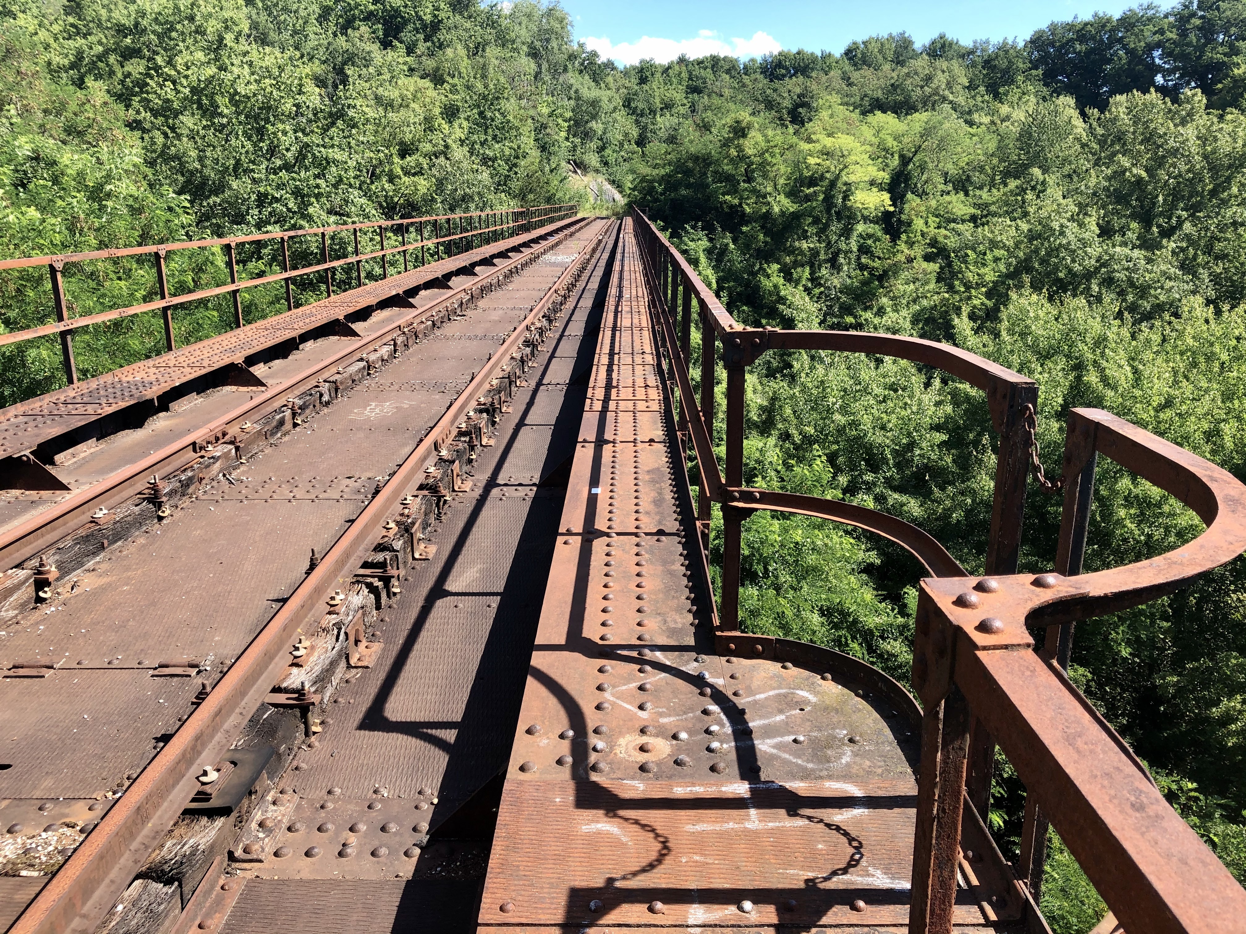
If you have time and more energy there is walk going up the river Rhone towards Bellegarde. The signpost for the walk can be found on the left side when you have the dam to the right. It should take approximately 2,5 hours to walk to the Belvedere des Lades and back. I will hopefully come back with an update on this walk as I did not do it this time.

Enjoy visiting Barrage de Genissiat, and feel free to share!

France: Marais de l’Etournel in Pougny

The Etournel marsh is located in the communes of Pougny and Collonges and not far from the river Rhône. The park is especially designated for the conservation of marsh birds, fish and plants.

You can download this map and a folder that contains more information about the park and the various plant and animal species you can find there here, only available in French.

Following the cessation of pebble extraction in 1990, the area has been recolonized by wet woodlands.

Spread over 190 hectares you will find woodlands, reed beds, ponds and meadows. Together this constitutes an essential reservoir of biodiversity and acts as an important stopover for migrating birds.

Walking around the 9 ponds, you are given plenty of opportunity to watch birds and other animals in their biotope. Nearly 210 different species have been observed nesting, wintering or stopping over while migrating. It is also the habitat for several mammals like beaver, deer, hare and polecat.

If you are very lucky, you can catch a glimpse of beavers in action. The beavers are night animals it is therefore more likely that you will find the result of their work. Beavers cut down threes for food and for building dams and lodges. Beaver teeth never stop growing so chewing wood helps keep them sharp and prevents them from growing too long

If you have a fishing rod, buy a licence and try your luck. Fishing is allowed in pond 1-6 of the 9 ponds.

The loops takes around one hour to finish. However when you visit, I will recommend you to not rush, but bring a picnic blanket, a thermos of coffee, binoculars and plenty of time.

If you want to read more about wetland biodiversity and why it matters you can find reading material in English, French and Spanish here.

If visiting between the 15th September and 15th November the park is closed for visitors between 18.00 and 08.00 every day. This is because this is the mating season for the deer, if you violate the visiting hours you might find yourself with a hefty fine.

Enjoy visiting Marais Etournel, and feel free to share!

France: Massif du Grand Crêt d’Eau and la Pierre à Fromage

Features: panorama view

Overview: this is a medium walk

Time: around 5 hours               Km: 15,5                 Hight to climb: 619 meters

This walk will give you a panoramic view over the whole of the Pays de Gex, Geneva and the Jura mountains.

The starting point for this walk is the Refuge Pre Bouillet in Farges. To reach the Refuge Pre Bouillet you drive up Route du Col du Sac (not Cul de Sac!) as far as you get. If you only want to enjoy the view and spend the night, the refuge is available for rent between 1st May and 1st November. You can find more information here.

Start by following the yellow signs to Combe du Petit Louis. You will be walking trough a nature reserve and it is recommended that you always stay on the marked path. Between 15 December and 15 May every year it is strictly forbidden to leave the marked path. This is to protect the nature and allow animals to live and reproduce without human interference.

On your way up, you will pass what I believe was once a small chalet for hunters.

When you reach the Combe du Petit Louis, you continue following the signs to Chalet du Sac and Pierre a Fromage.

As soon as you emerge above the treeline, you will enter the typical Jura Alpine pastures and walk past several summer chalets.

You will also be walking past several “goyas” this is water reserves created in clay sinkholes. The water enters a crack, carries the clay which fills the bottom of the sinkhole, making it waterproof. The shepherds covered the bottom with leaves which they had trampled by the cows in order to solidify it.

Pierre a Fromage: Several hypotheses exist to explain the name of this strange stone. Some speculate that it was the place where the local lords paid taxes from the production of cheese made during the summer. Others believe that this stone served as a resting place during the transport of the cheeses on people’s backs.

When you have passed la Pierre a Fromage, you walk along a circuit which starts by walking up to Cret de la Goutte. Here, you will have an amazing 360 view of Geneva and the Jura massif. On a good day you can see as far as lac d’Annecy and Lac du Bourget and of course the Alps and Mont Blanc.

After some time spent admiring this incredible view, continue towards Sorgia en Haut, where you can admire the view of Bellegarde and its surrounding villages. From here, you redescend to Sous Varambon before starting to walk up again towards Chalet de Varambon. After passing the Chalet the Varambon, follow signs towards Pierre a Fromage and follow the same path down to the Refuge du Pre Bouillet.

Happy walking, and feel free to share!

France: Segny to Veraz – along the Grand Journans

When you’ve decided to go for a walk in the Jura on a rainy, cold and grey Sunday in late August, and it looks like this up at Col de La Faucille

and you realize yours is the only car in the parking lot, there’s only one thing to do: drive back down and decide to revisit parts of a walk in the lowland that you’ve blogged about earlier from Segny to Chevry. The new itinerary can be found and downloaded at the bottom of this post.

Time: just over 1 hour              Km: 5                      Hight to climb: 61 meters

With today’s view of the Jura and the Alps I should have known better than to drive all the way up there…

Actually, it is very refreshing to be out in the rain and it always makes coming back home so much more of a pleasure.

I stopped in Segny and walked towards Veraz. This time I decided to walk along the Grand Journans river.

When you reach to the bridge, take left instead of continuing directly to Chevry.

Walking along the stream is so calm and peaceful. With newly built houses on both sides I was amazed to realize I was the only one out and about.

When I came to this little bridge…

…I crossed over and walked through the little hamlet of houses with beautiful gardens in Veraz.

After a few meters on Rue des Moraines I turned right, and before I knew it I was on the Sentier des Vignerons. I did not see any signs of grapes or wine but if you are a tall person there are plenty of blackberries to pick if you do this walk at the right time of the year.

Can you see the house?

When you see a narrow path to your left that goes up across the field, choose this as it will take you up to the bigger path called Sentier des Boraz. Follow this path back to your staring point.

Happy walking, and feel free to share!

France: Walking along the old railway lines from Collonges Fort-l’Ecluse to Divonne-les-Bains

I am sure a lot of people in the Pays de Gex area still remember the Collonges- Fort-l’Ecluse – Divonne-les-Bains railway line passing through Pays de Gex.

I arrived here for the first time in the late nineties, and to start with I was always careful when approaching a train crossing. I was soon told there was no need to worry about being hit by trains since the line had already been closed for many years.

Later, I remember hearing people claiming to have seen recent trains, and I remember we tried (after giving them incredulous glances at first) to work out how that could at all be possible. You’re probably laughing right now because information is so easy to get hold of these days. Twenty years ago, there were no Facebook groups, and the information on Wikipedia was scarce (especially in French). Exploring this train line has therefore provided me lots of new knowledge about the train line that runs from one side of the Pays de Gex to the other.

Here are some historic facts:

The railway line between Collonges-Fort-l’Ecluse and Divonne-les-Bains was inaugurated in 1899, at the height of the railway craze sweeping through most of Europe. The length of this railway line was at the outset 38 kilometres. Five years later, you could travel all the way to Nyon in Switzerland from Collonges-Fort-l’Ecluse, however, this part was closed and removed in the early 1960’s when the highway was built.

During the second world war the line was closed for traffic.

The last passenger train on the Collonges to Divonne line ran in 1980. I assume this had to do with the proliferation of individual transportation that has changed so many other aspects of our lives: constructions of motorways and more and more households having access to a car. With institutions like CERN and the United Nation setting up offices in Geneva, the traffic patterns had also changed, and the need for travelling into Geneva was probably now much larger than the need for going to exotic places like Bellegarde and Lyon.

In hindsight, I think you could say that the local politicians were short-sighted, because closing this railway line made public transport within Pays de Gex almost impossible for many years. There used to be three to four train services per day, and the communes in Pays de Gex fought to keep their beloved train line, but it was just not profitable enough.

With the large influx of people into the area in the last 20-30 years, and the difficulties we now face going from one village to another, this train service would probably have been very useful today. My own kids very quickly found out that it was easy enough to use public transport to go into Geneva, but using public transport to see their friends around Pays de Gex was impossible for them for a very long time.

Reading up a bit on the history also shed light on these ghost trains I’d heard about and proved that those friends of mine were indeed not delirious or mad after all. From 2001 to 2014, part of the railway line was actually used to transport household waste from Chevry to Bellegarde to be incinerated twice a week.

In 2014, the railway line was closed for good.

From Divonne to Gex, the old railway lines have been transformed into a very nice walking and cycling path.

However, today we’ll focus on walking on the real tracks. A railway walk is perfect whatever the weather. However, if you want to explore the parts that have not been transformed into a walking path, I will recommend long socks and trousers. Speaking from experience, I can say that wearing a pair of shorts and short socks is not ideal on overgrown paths with thorn bushes and nettles. But on the upside, from July to September you don’t need to bring a snack with you as you can feast on the delicious blackberries growing in and around the tracks.

I have done two outings walking on the railway line, for both walks I started in Asserans where I literally parked on the railway lines. I then walked from Asserans to Peron and back and from Asserans to Collonges and back. You will need plan around two and a half to three hours for both walks.

The most scenic walk was from Asserans going west, to Collonges. Here you will be walking through two tunnels and across two spectacular train bridges.

The first is tunnel is Grand Echaud which is 258 meters, followed by the Tunnel des Isles which is 149 meters. In both tunnels, having a flashlight available is handy. Luckily most phones these days have this tool built in.

The two impressive bridges, or viaducts, are the Viaduct de Grand Echaud and Viaduct d’Almogne.

The old station building in Collonges Fort-l’Ecluse is not a very interesting sight and you will probably be better off enjoying the nature, pretty views, tunnels and viaducts on your return to Asserans.

Enjoy walking, and feel free to share!