Tag Archives: france

France: Walking from Fort l’Ecluse to Leaz – La vierge de Leaz

Features: Forest – river – ruins – history – panorama view

Overview: Accessible for all, but be prepared for a couple of steep uphill climbs

Time: around 2,5-3 hours               Km: 8,5

You will find the map for this walk at the end of this post.

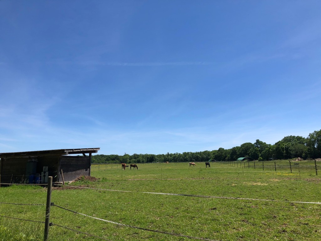
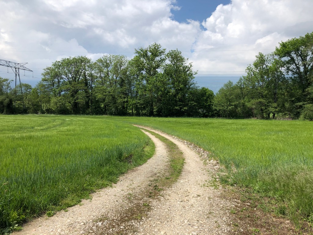
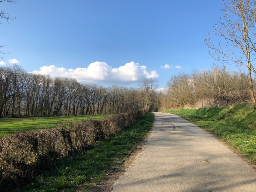
Description: This walk starts from the parking atFort l’Ecluse. The exit for the parking is right after the tunnel if you are coming from the Pays the Gex region; make sure to start braking before you exit the tunnel as it is very easy to miss (speaking from my own experience here).

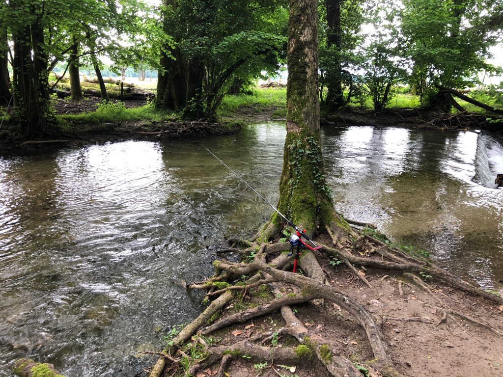
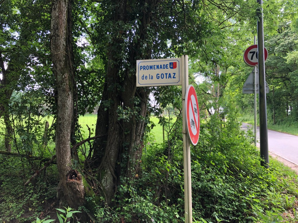
The walk is marked with yellow signposts, but I think there must have been a lot of water flowing down the river Rhone lately because for the stretch along the river’s edge it’s not so obvious where to walk. Hopefully the commune of Leaz will fix this, because it is a very beautiful walk that more people should discover.

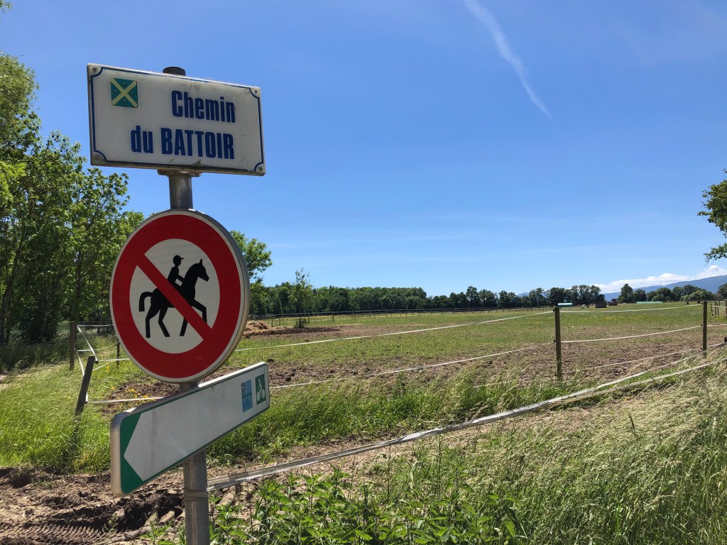
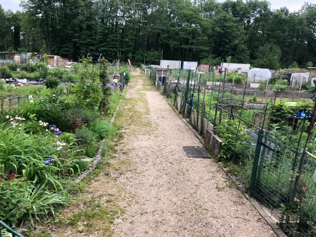
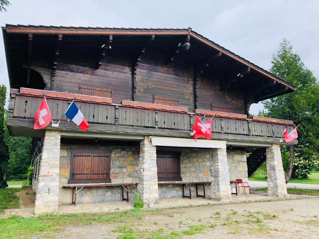
Follow the signpost that takes you along the Chemin du Lavoux and past a very cute collection of houses and gardens.

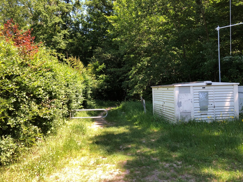
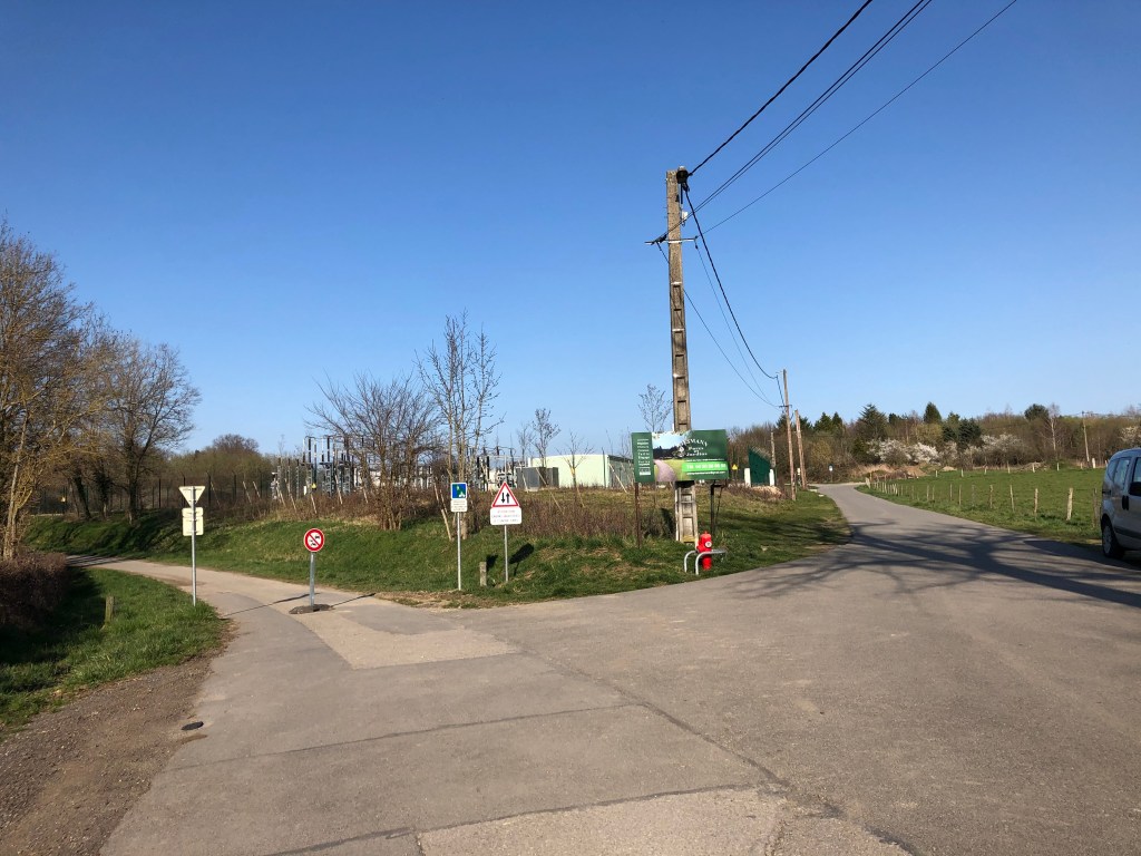
When you come to the railway lines, you cross over, turn right and walk through a small underpass. Follow the path until you come to the Moulin the Condière crossing, then follow the small path on your left side that will take you to Leaz-village.

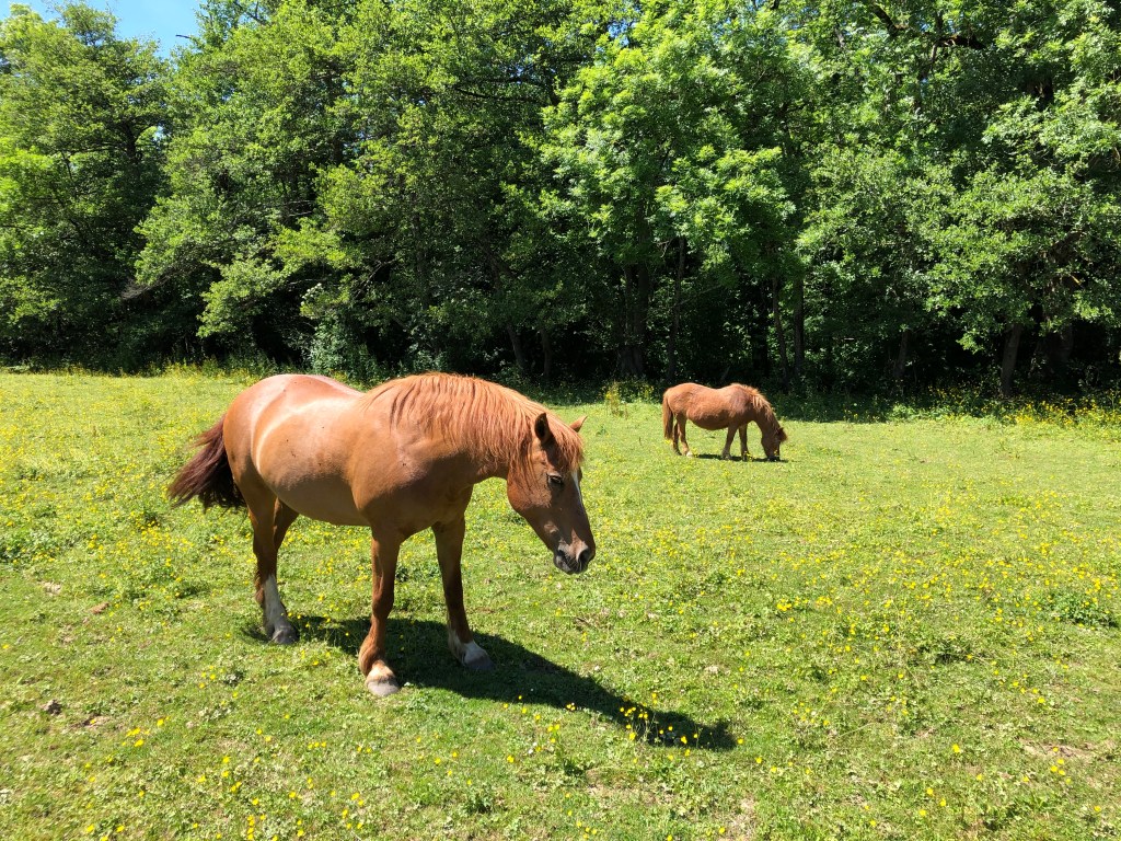
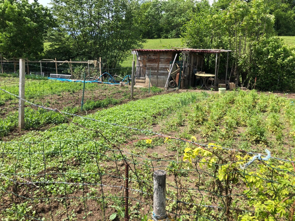
As you walk down along the old stream, you’ll notice something interesting on the right side of the path: you’re passing lots of old ruined houses, some of them barely visible in the overgrowth of bushes and trees. This is a clear sign of milling activity from way back. Try to imagine this as a very lively place back in the days, when many families would have been working and living here.

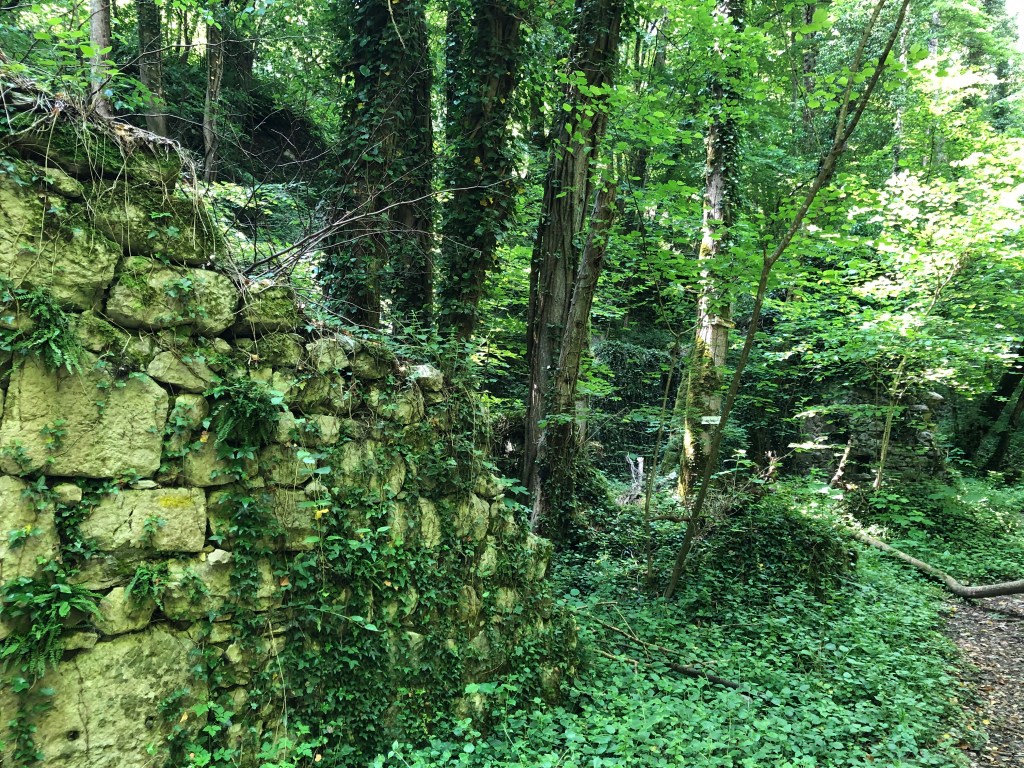
Les Moulins de Condrière:

The first mills were built in the 14th century, so around 700 years ago. These mills were the main component of a lucrative commercial and economic activity in the region. At the time, the local activities also included of gold panning. The Lord of Leaz built a sawmill and established a ferry service on the Rhone to transport the goods. This being along the travel route from Geneva to Lyon, the Lord of Leaz also built an inn to provide travellers a bed and time to rest their feet.

Follow the path until you come to the stream named le Rochefort. Normally there should be a small bridge to take you across. However, as mentioned, there must have been a lot of water in the area this year, because the bridge is gone. Hopefully, the commune will replace it soon. For now you’ll have to jump across on the rocks, which is luckily not too difficult.

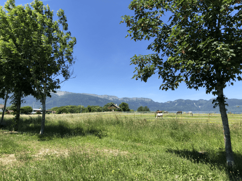
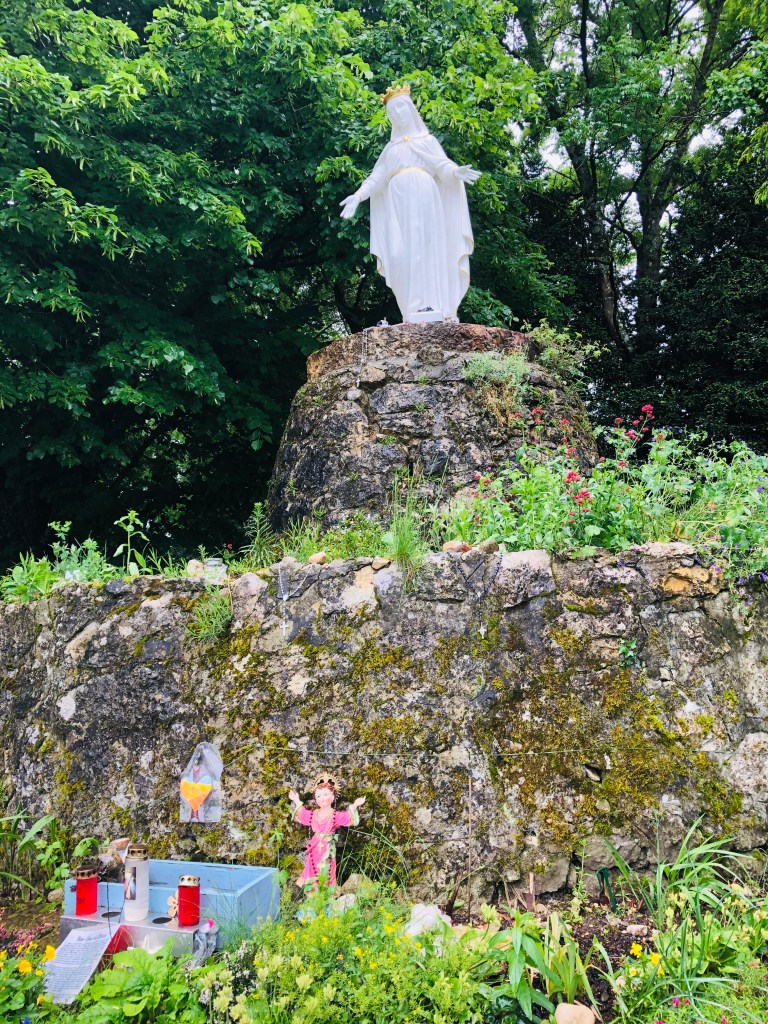
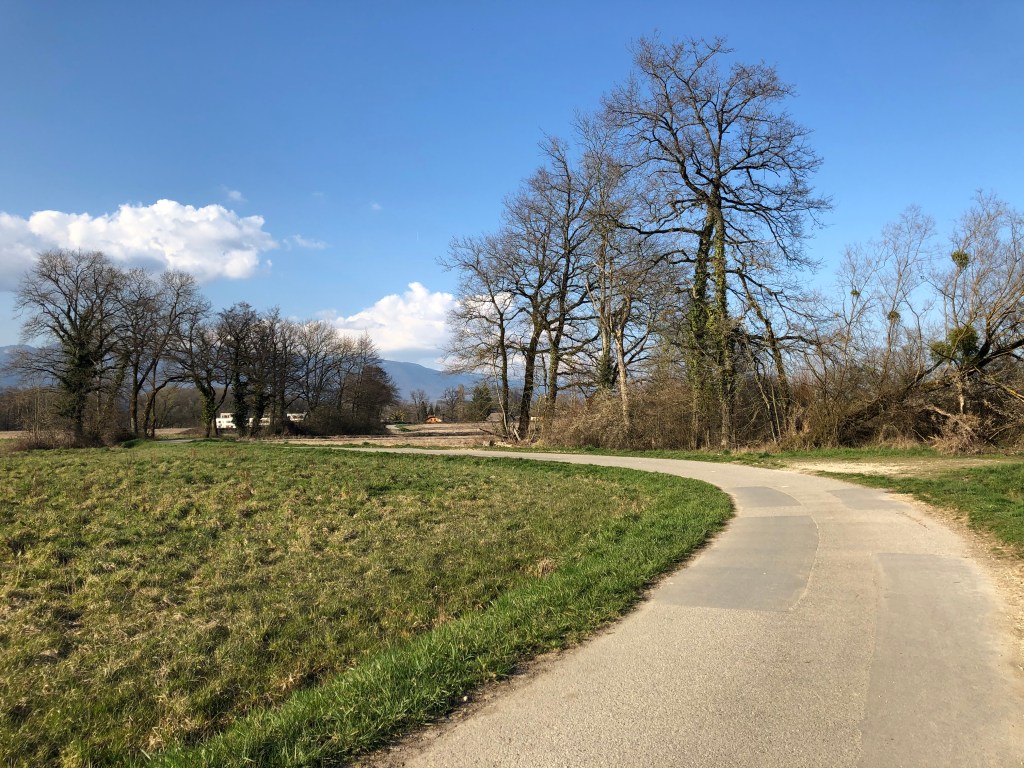
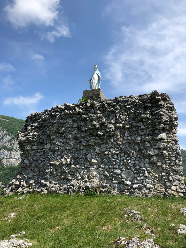
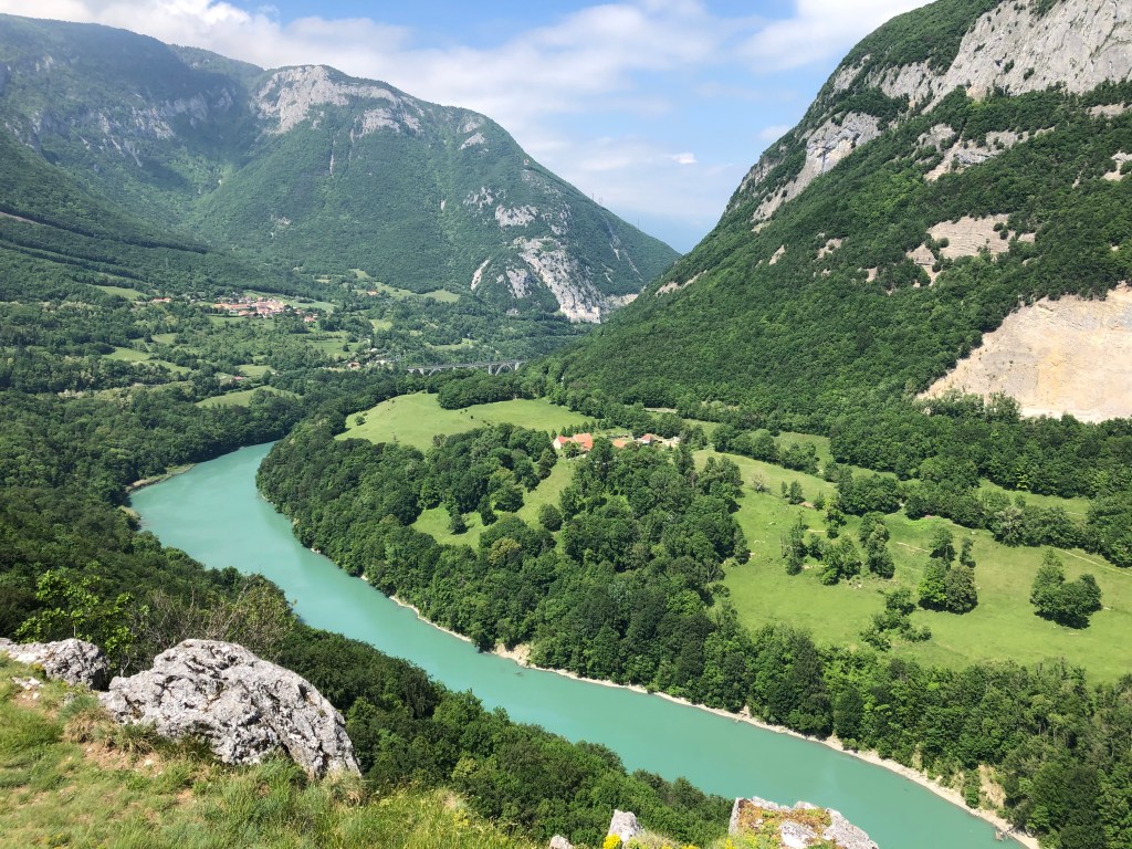
Once over the stream, walk up until you find two paths. Both will take you to Leaz. I chose the one on the left which took me along the Rhone and below the belvedere. Stay on this path until you meet a road and walk up to the village of Leaz. The village is very charming, so take some minutes to explore before you follow the signposts towards the belvedere and the Vierge de Leaz.

Castle ruin:

In the 19th century, an inscription found in the ruins show that the site on the hill has been occupied since Roman times.

In the 12th century it was property of the Priory of Payerne (Vaud, Switzerland).

In the 13th century, Leaz, thanks to the Baron of Gex Simon de Joinville and his wife became a market town. This basically meant that the Baron of Gex could legally claim half of the profits made by the hard-working millers and any other prosperous activity.

This economic prosperity continued into the 14th century.

The religious wars in the 16th century and the annexation of Pays de Gex by France in 1601 destroyed the castle and must have changed the life for everyone living in the houses just below the belvedere summit. If you look closely you can see traces of the ancient houses on the slopes of the hill.

Legend of saint Victoire:

Victoire was a teenage girl who looked after a herd of goats on the peaks of the Vuache mountain. One day she heard a voice telling her to build a chapel (this apparently happened a lot back in those days). She then erected a chapel on the western tip of the Vuache and founded a small religious community.

The years passed in peace and meditation until groups of Saracens (which was the term used in the middle ages to refer to Arab Muslims) went up the Rhone valley to raid and plunder the villages near the river (another popular activity back in those days).

Hoping to find valuables, the plunderers climbed the mountain. Victoire, who had been able to shelter her nuns, suddenly finds herself surrounded by the Saracens. When cornered at the edge of a cliff overlooking the Rhone, she prefers to throw herself into the void rather than to fall into the hands of the invading Saracens. But, according to legend, God could not ignore such a faithful servant, and an invisible hand seized Victoire as she was about to crash to the ground and carried her across the river to the rock in Leaz. Victoire was then sheltered by the residents of Leaz and would later return back to the other side of the Rhone to rebuild her chapel.

After taking in the history and the beautiful view of the Rhone, you continue the circuit. Keep to your right after the parking when coming down from the belvedere and take the first path you see on your righthand side. This will take you back to the stream Rochefort.  After the stream you also have the option between two paths. You can choose to pass the Moulins de Condrière again or take the upper path. They will both take you back to your starting point and the parking at Fort l’Ecluse.

Happy walking, and feel free to share!

France: Discovering Bois Chatton

Features: Forest – horses – 1970’s architecture

Overview: Accessible for all

Time: around 1 hours    Km: 3,5 km

Description: This is the perfect walk to do with small children, because it is not too long and there is enough to see and explore to keep them entertained.

I parked my car at the entrance of the quartier near the school. See map below if you do not know the area very well.

The residential area of Bois Chatton was built in 1973 and it consist of 225 houses.  If you look closely, all the houses must have looked more or less identical when new, but the residents have individualized them over the years.  It is actually a very charming residential area built like a labyrinth with a communal area/playground in the middle.

The entrance to the forest is where Rue Turet and rue Versoix meet.

Follow the trail into the forest until you come to a crossing with a wide path, then take left.  Follow this path across the fields until you come to a new crossing and spot the sign that says Chemin Battoir.

You will now walk along a small stream, La Lillette, where you can see the horses from Bellevue stables. There are benches and picnic tables along this path, so why not bring your lunch or snack and enjoy an outdoors meal?

Next to the stable, there’s even a skate park.

Follow the path back to the entrance to the residence, where you started the walk.

Happy walking, and feel free to share!

France: A walk with some history Pouilly and Pregnin

Features: River – religious monuments – historic buildings – railway

Overview: Accessible for all

Time: around 2 hours     Km: 8,5 km

Description: My start point was the big car park next to the church in Pouilly. If you don’t know the area, have a look at the map you can find at the bottom. There, you can also download the trajectory.

Before you start off on your walk you should take a minute to look at the church. The Église Saint-Pierre de Pouilly is the oldest building in St. Genis-Pouilly, and it is also among the oldest buildings in the whole of Pays de Gex.

The church was constructed in the 12th century on the ruins of a Roman villa. Over the years there have been numerous modifications made to the building, but the church choir remains as it was originally. The bell tower and the nave were built in the middle of the 19th century, and the two side chapels were built in 1847.

Inside the church there are two valuable old paintings. One of these was given by the emperor Napoleon in 1861.

To start walking, go back to the roundabout and follow Chemin de la Lechere all the way until you see the Botanic garden centre on your right. On the way there, you will be walking past the allotment gardens where you might see people growing their own vegetables in the summer months.

Just before the entrance to Botanic and the new sports shop and climbing centre you will see a narrow pathway on you right.  It is marked with a little blue stick. This little pathway will take you to the statue of La Vierge des Marais.

Few people know about this statue and even fewer have visited this monument which is basically located in the middle of nowhere. Its history, however, is fascinating.

In the 12th century, the lordship of Gex drained the surrounding land and built a castle to protect the pathway from Geneva to St. Claude via the Crozet pass. This castle was then destroyed in the 15th century by the Savoyards.

Because of an outbreak of fever in the villages of Pregnin and Pouilly, the swampland was drained again in 1817 as an attempt to protect the people. It was largely believed that the causes of the disease were to be found in the swamp. Despite this drainage, people in the nearby villages still got fever and diseases. The locals then asked for protection from the church because some believed that an evil spirit, the “virgin of the swamp”, was the main culprit.

In 1858 the statue was erected thanks to donations and work provided by the local people. In the 19th century children were baptized there on summer days. Every 31st May the inhabitants from the surrounding villages went in procession to La Vierge des Marais. Today these rituals have largely been forgotten, and very few now make theit way to this place that at some point in time was very important for people living in Pregnin and Pouilly.

Back on the main path, continue up Rue de la Faucille until you see Hotel Kyriad. Here, you take left and continue straight on as you walk past the Boulodrome (yes, we’re in France!) and cross the Allondon river. You then arrive at a crossing where you take right and walk across a roundabout. Follow the little road next to Sidefage and after a few meters you will pass an area for motorbike sports. You’ll find yourself on a small pathway. Walk along the old and closed-down railway line (no need to look out for trains!). After a few hundred meters, around the 3 km mark, I suggest you walk down to the river to listen to the sound of running water. If you’ve paid your fishing licence (www.cartedepeche.fr), this a good spot to try your luck with the fishing rod.

Back on the main track, continue along it, and when you arrive at the seemingly abandoned training area for mountain biking on your left side, take right and you’ll soon be in the small hamlet with the not-so-attractive name (in English) of Flies.

On your route back to Pregnin I suggest you walk past the Chalet Suisse. This building, which as its name implies resemble a Swiss chalet, has a fascinating history.

In 1947 the “Swiss colony of the Pays de Gex” was founded at the Swiss passport office in Gex. This association of Swiss locals did not have their own meeting place, and the 1st August was celebrated in many different locations over the next 25 years. Eventually, the association was able to buy a plot in Flies at a very good price, and with donations from its members they managed to construct their own building in 1972.

Inside the chalet, all the Swiss cantons and their coats of arms are reproduced. The association is still active and offers information to people who seek to become Swiss. The Chalet Suisse can also be rented for marriage celebrations, birthday parties and seminars.

Walk back to the roundabout and continue to the village of Pregnin. Take your time walking through the village as there are many old and beautiful houses. Finally, find Rue de L’Eglise and walk back to the church and the starting point.

Happy walking!

France: Short walk across the fields in Vesegnin

Features: River – Views – Birds- Trees – Animals

Overview: Accessible for all

Time: around 30 minutes            Km: 2,5

Description: Start from the small car park in the centre of Vesegnin, next to the Domaine de la Boissière. You can find the exact starting point on the map further down if you don’t know the area.

Follow the road that goes through the centre of Vesegnin.  After around 200 meters you will see a small apartment building, and here you take left and follow the small road that takes you down to the river Lion.

Follow the path until it takes you back on to Route du Maroc, take right and almost immediately to the left and you will see that you are on promenade de Gotaz.

Just before you come to the first house on your left you cut across the field.  After a few meters you will meet the path that comes from Chemin des Etalles and you follow this pathway back to you starting point.

Happy walking!

France: Promenade des Tattes – Prevessin and Ornex

Features: River – Views – Birds- Trees – Animals

Overview: Accessible for all

Time: around 1-hour      Km: 4,8

Description: The best starting point for this walk if you come by car is the big car park in front of the Gaston Laverriere sports complex.

Next to the car park there is a playground, a small skate park and also various possibilities for ball games (basketball, football and volleyball).

You will find a walking path that starts between the buildings to your left when standing in front of the Gaston Laverriere building.

After passing the buildings take right on Chemin des Tattes. After around 500 meters you’ll come to a crossing and because this is a circular walk you can choose to go left or right.

I normally start off to the left and has done so for this description. The left side will take you across the fields along the stream of Le Lion and you will find benches to sit down and rest if you need.

You will have the views of the Jura mountains on one side and the Alps on your other side.

After around 1,8 km you will arrive at a residential area. At the crossing, keep right.  You will soon be passing the two tennis courts and a small playground.

Keep going straight on. When you reach the crossing with the possibility to take left to Ornex, you should stop to take a look at the Marais de Bois de Vessy. Here, the commune of Ornex has installed ponds for birds. Because of the large number of insects found around these types of ponds, many species of birds seek out these areas to find food. These ponds also provide an important source of drinking water for the birds. You will find observation platforms allowing you to get a better view of the animal life in and around the ponds. 

When you’ve finished your bird watching, return back on the walking route towards Prevessin. Very shortly, you’ll reach the BMX and street work-out park.  Turn right after the BMX park and continue straight on until you find yourself back at the starting point for this walk.

Happy walking!