Tag Archives: nature

France: Challex, and parcours de la Corbière

Overview: Easy and a little sporty

Time: around 1,5 hours               Km: 4                   Hight to climb: 148 meters

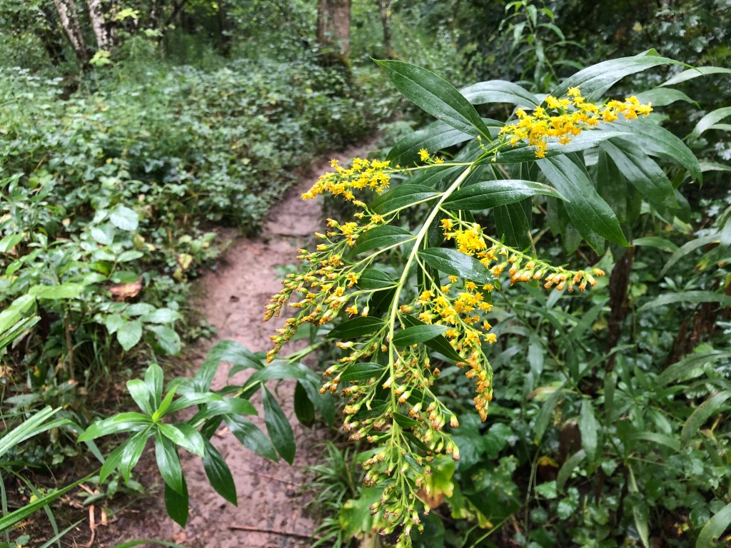
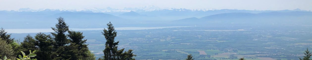
I have recently been made aware of the Japanese concept of “forest bathing”, which is said to reduce stress and worry (in my home country of Norway I guess we’d just call it hiking in the woods, but there you go…) On my little exploration walk in Challex I started thinking about how lucky I am to have nature so close to where I live. People living in big cities go to the park to connect with nature. Me, living in the Pays de Gex, have the choice between many different forests and nature reserves. The best of it is that often, these walks in the local nature can be combined with French village charms.

Challex is a bit off the beaten tracks for me. I have never had any friends living there, so I’ve never had any real reasons for going there. Now, after having discovered this short but sporty walk, I’ll definitely go back again.

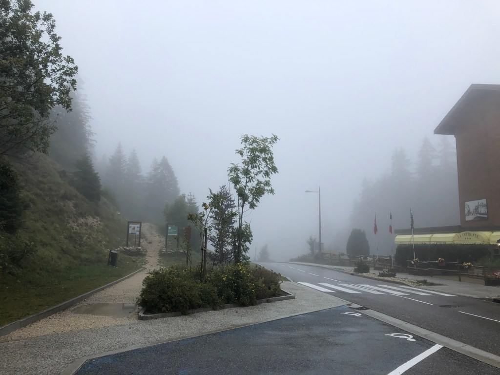
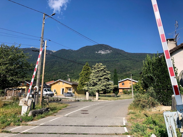
As for most of the villages in Pays the Gex, the easiest way to get there is by car. Using public transport, Tpg will take you there from Switzerland on the T bus.

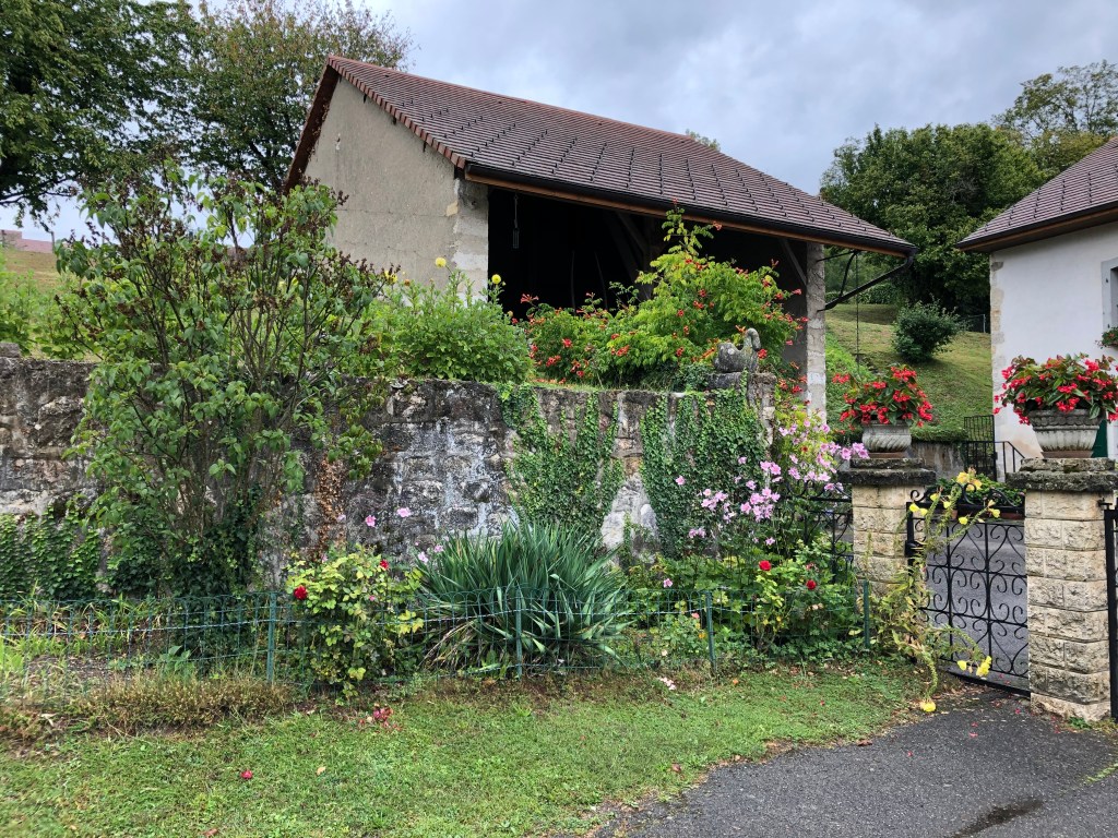
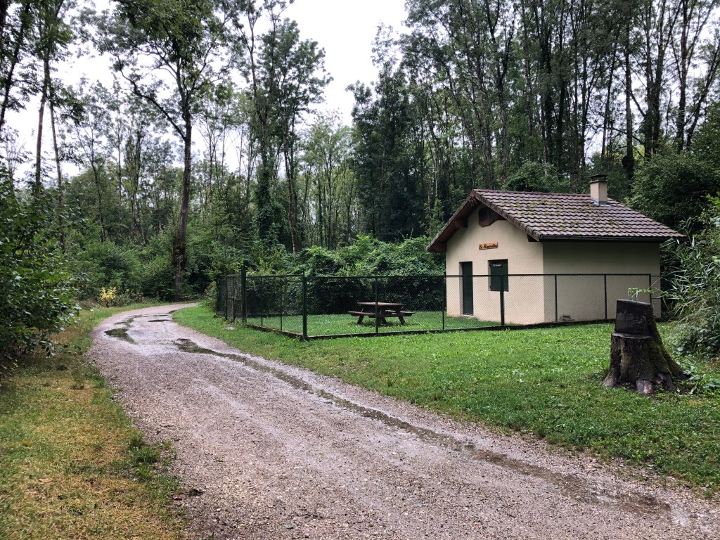
I parked just outside the school (Rue des Ecoles) in the village and started my walk from there.

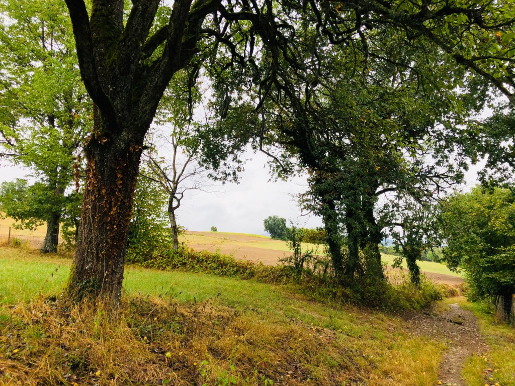
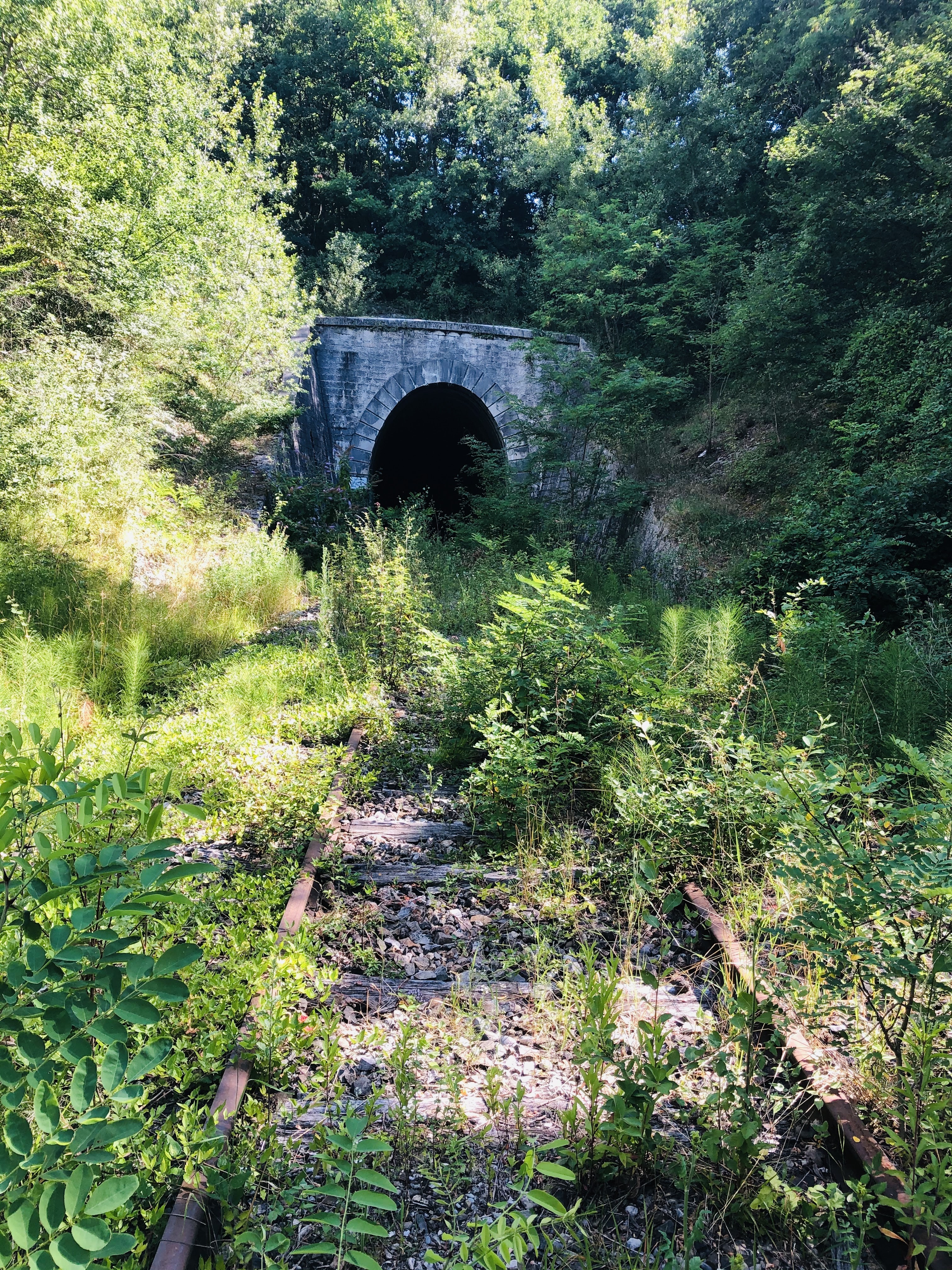
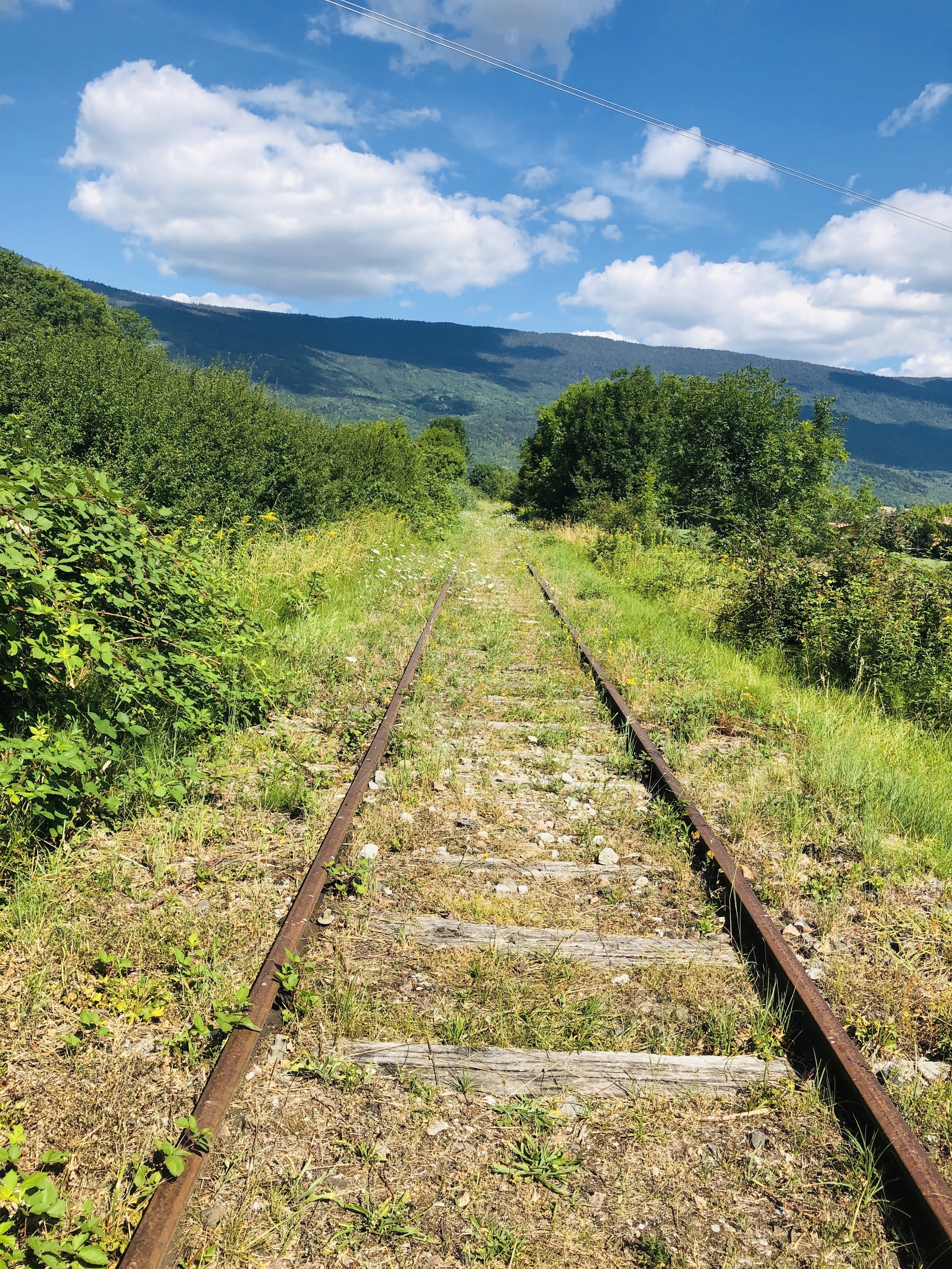
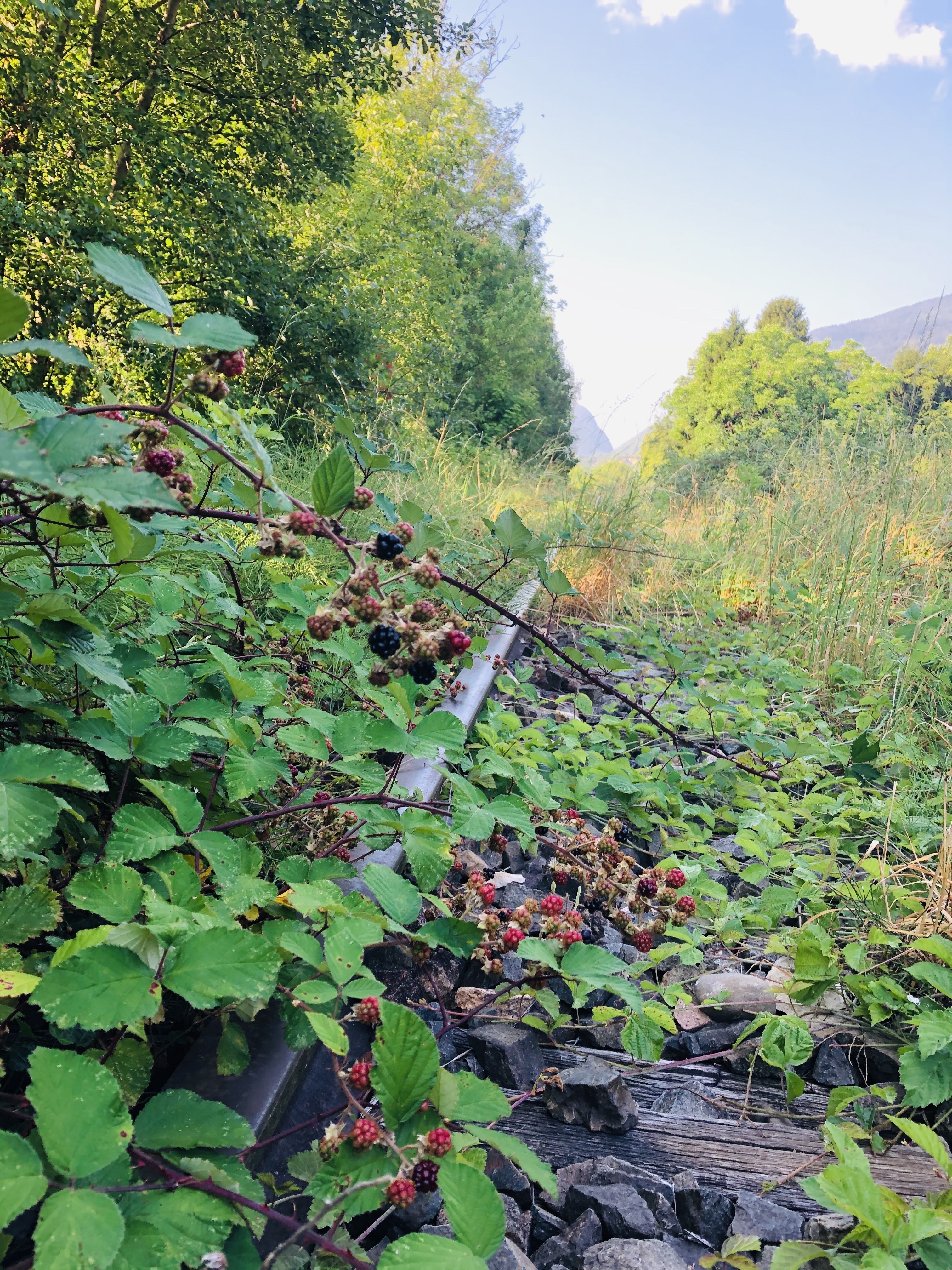
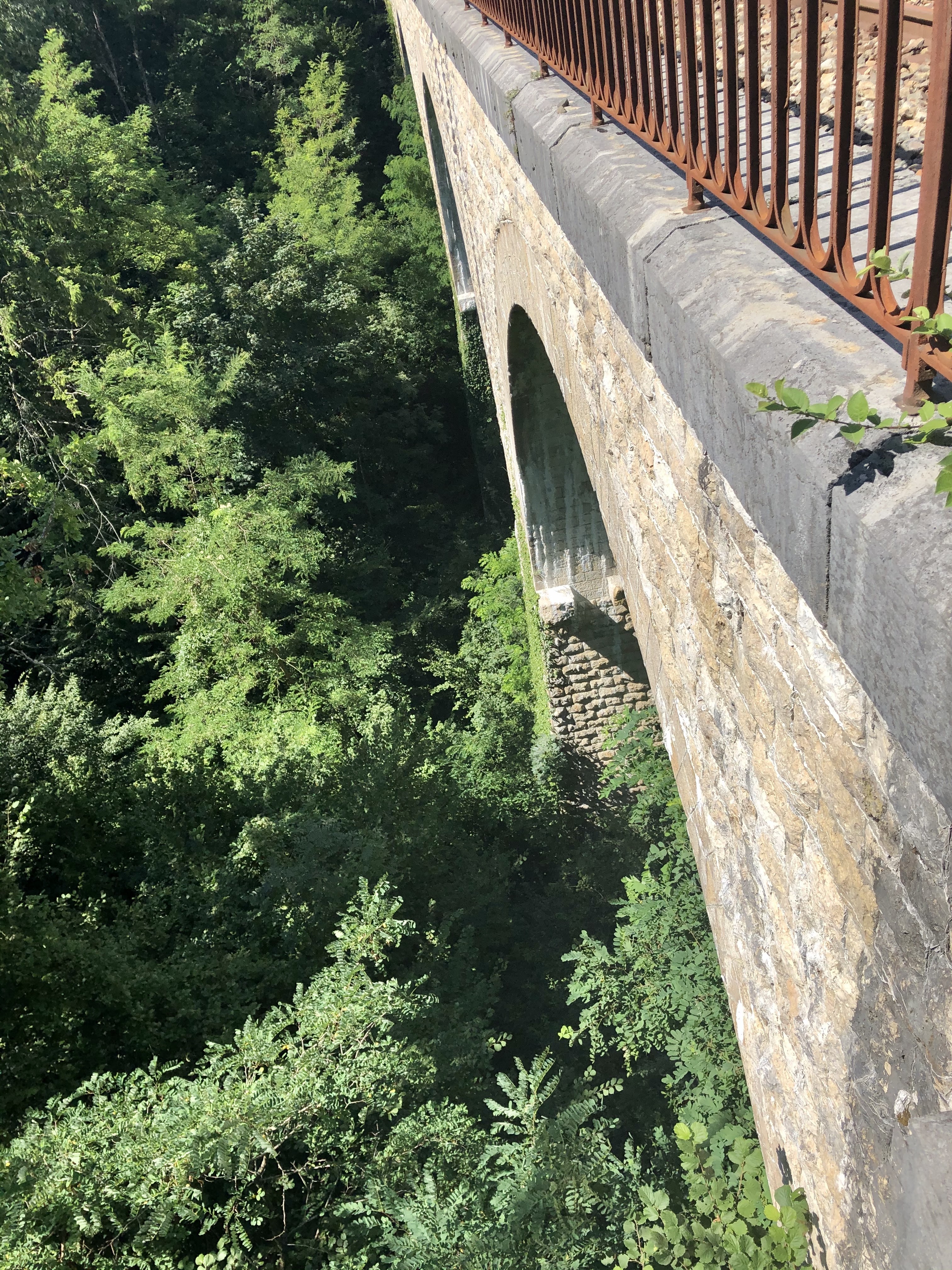
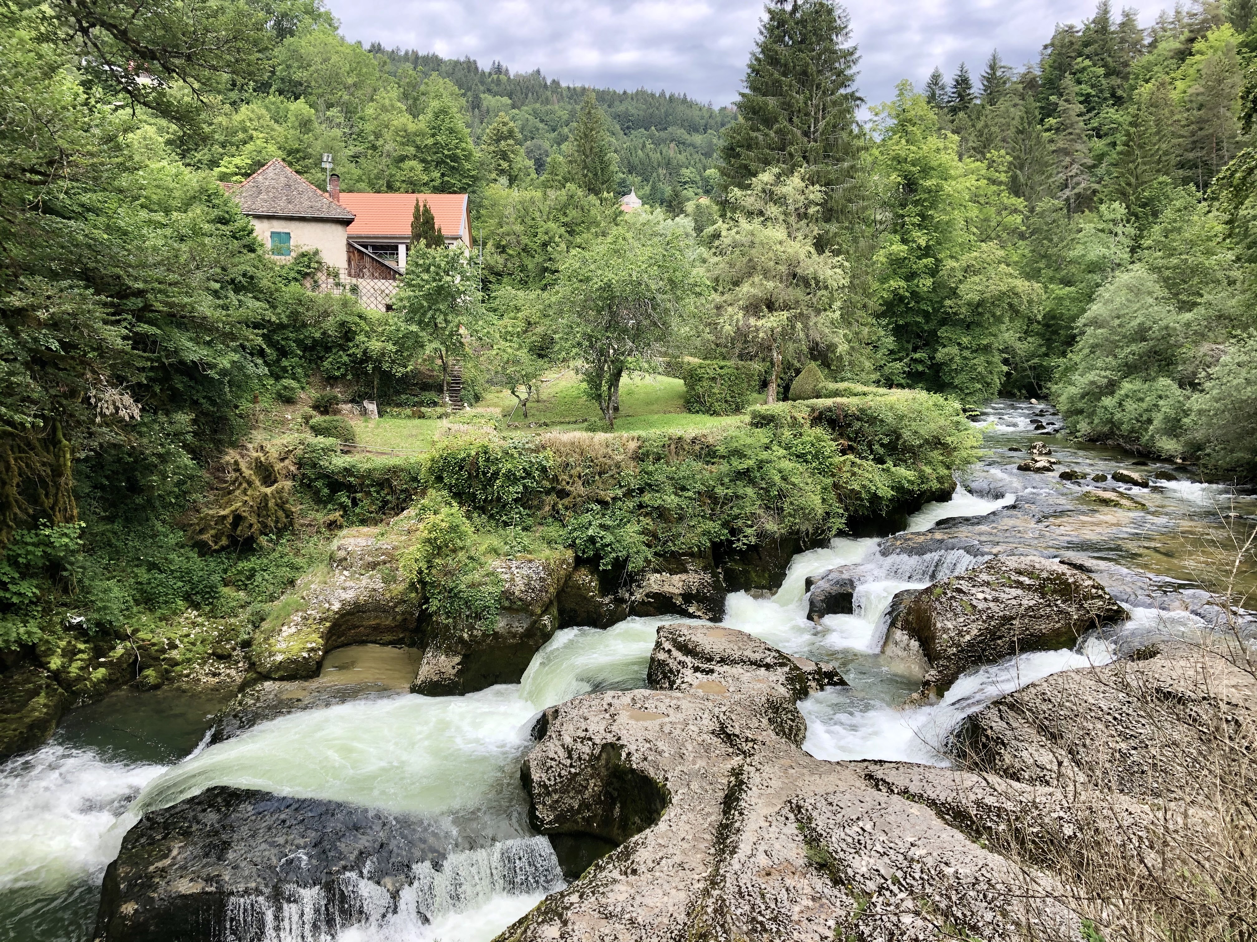
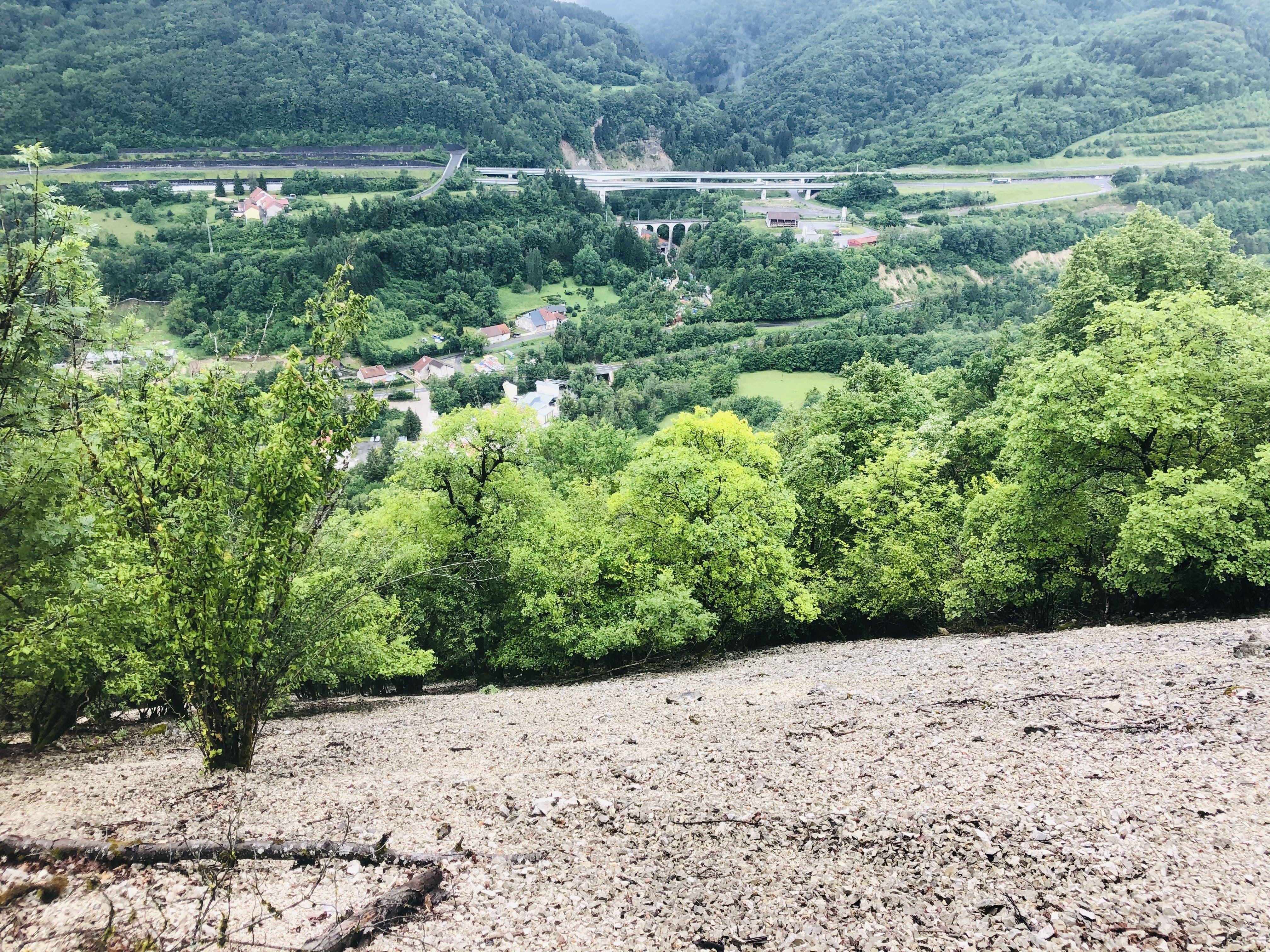
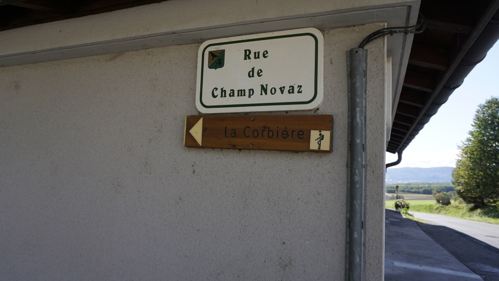
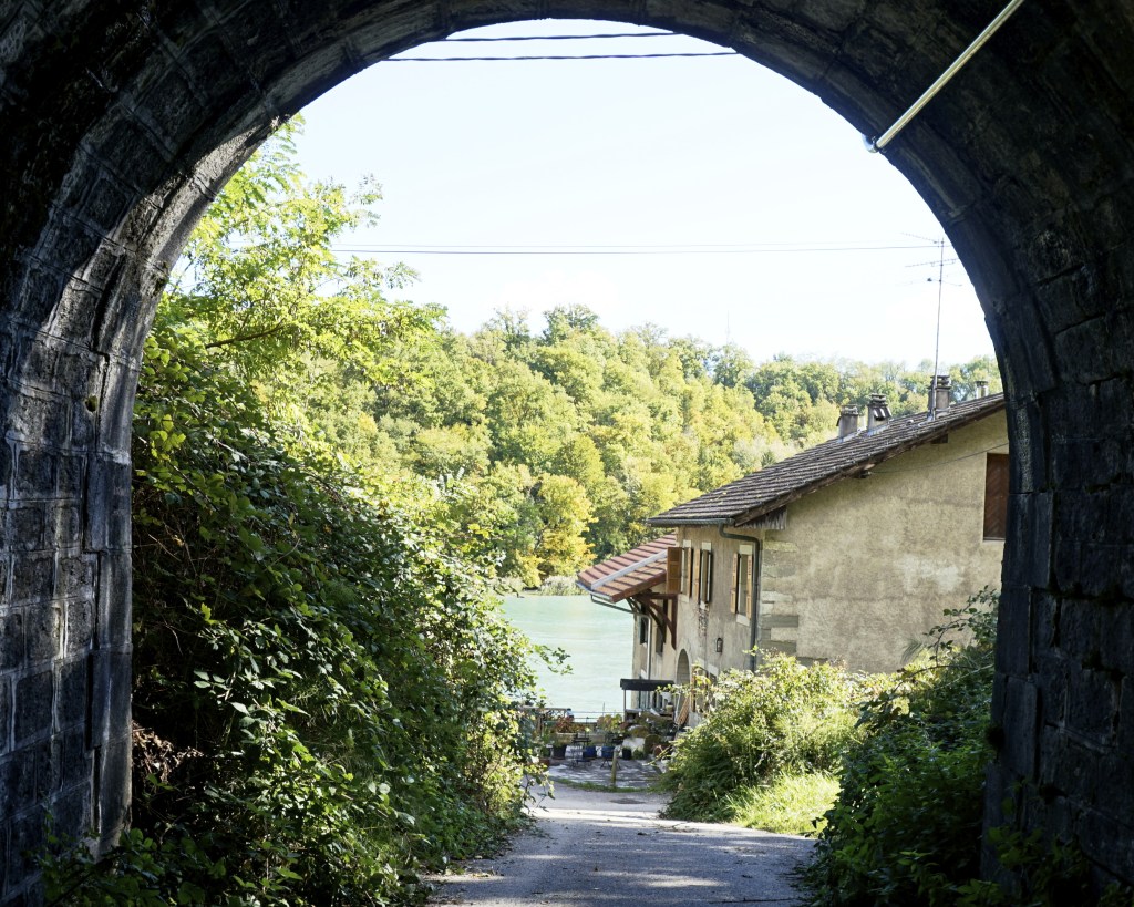
Walk in direction Bellegarde. After a few meters you will see a gravel road. Continue downhill on this road and walk past the vines. When this path ends, walk to the left onto Chemin de Corbet and continue until you reach a fountain. Walk to the right, and you will very soon see a sign telling you that you are on the “Parcours de la Corbiere”. Continue on this path and it will take you down towards the Rhone.

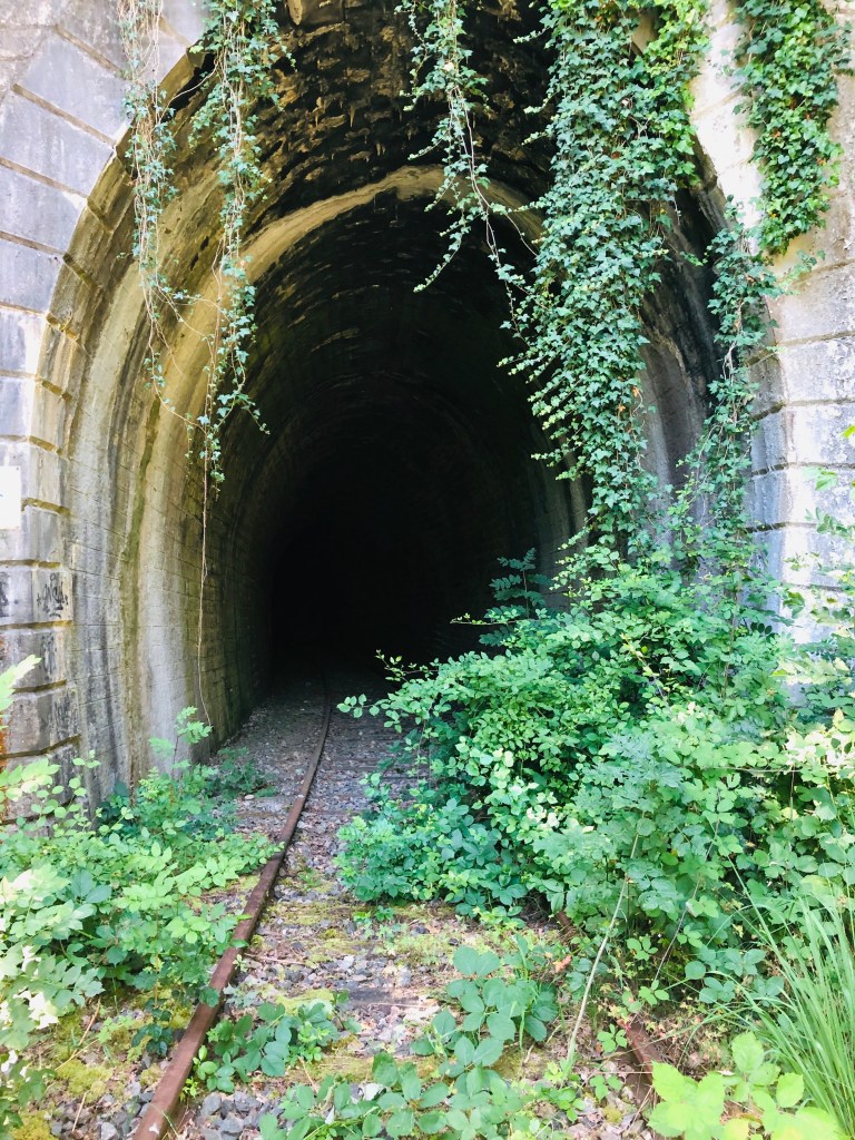
When you see this block that tells the story of the Chateau le la Corbière, walk to the left and into the woods.

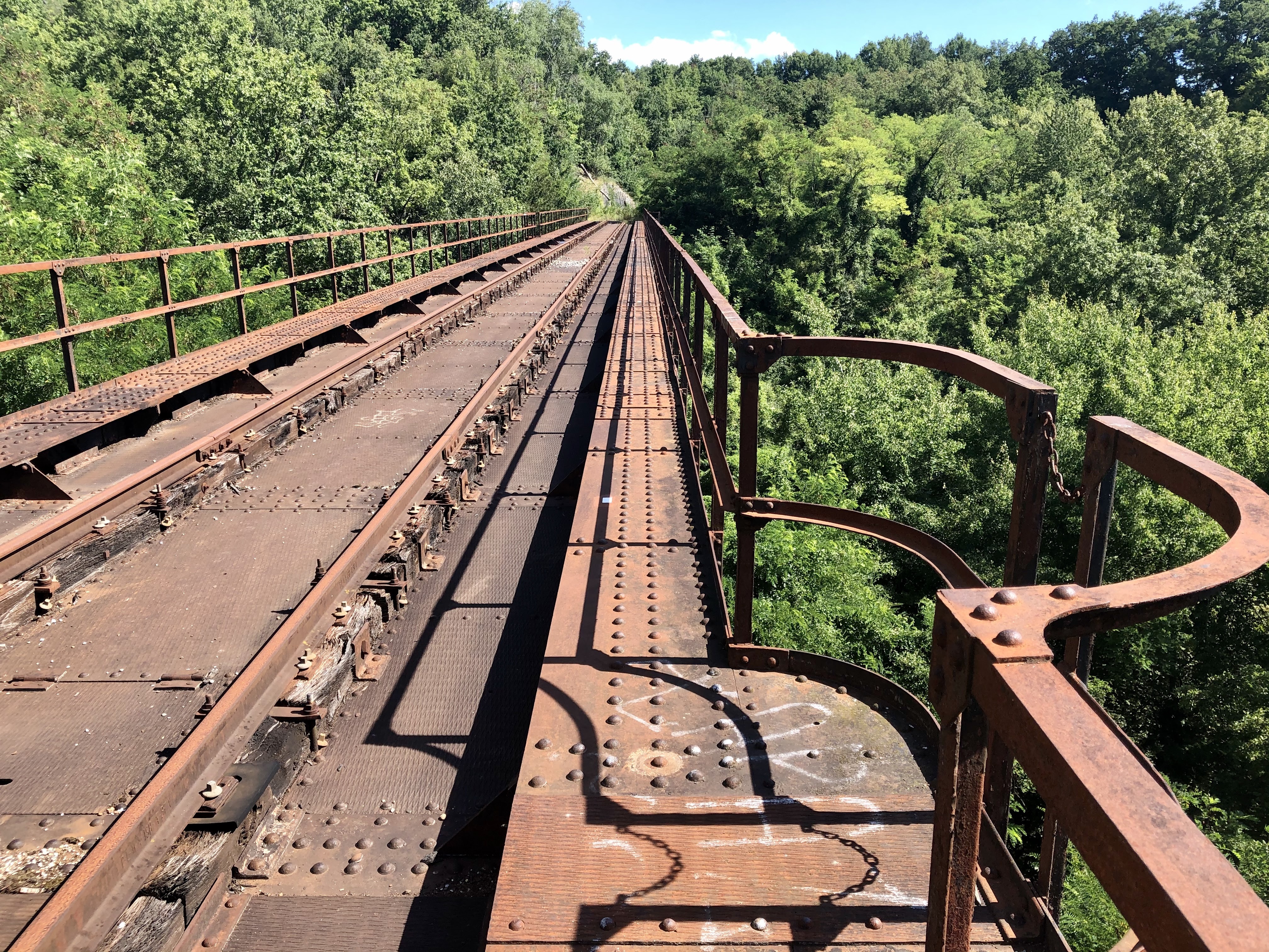
The Chateau de la Corbière was built in the twelfth century by the Count of Geneva. By then, Challex had some commercial and political rights and controlled a bridge made of wood that spanned the Rhone river. On the other side of the bridge was the small town of Epeisses, which was controlled by the chateau. Today, Epeisses is in Switzerland and the village is no longer where it used to be. In the 13th century, the level of hostility between the Count of Geneva and the Savoyards eventually resulted in a war. The chateau and the bridge were subsequently completely destroyed by the Savoyards.

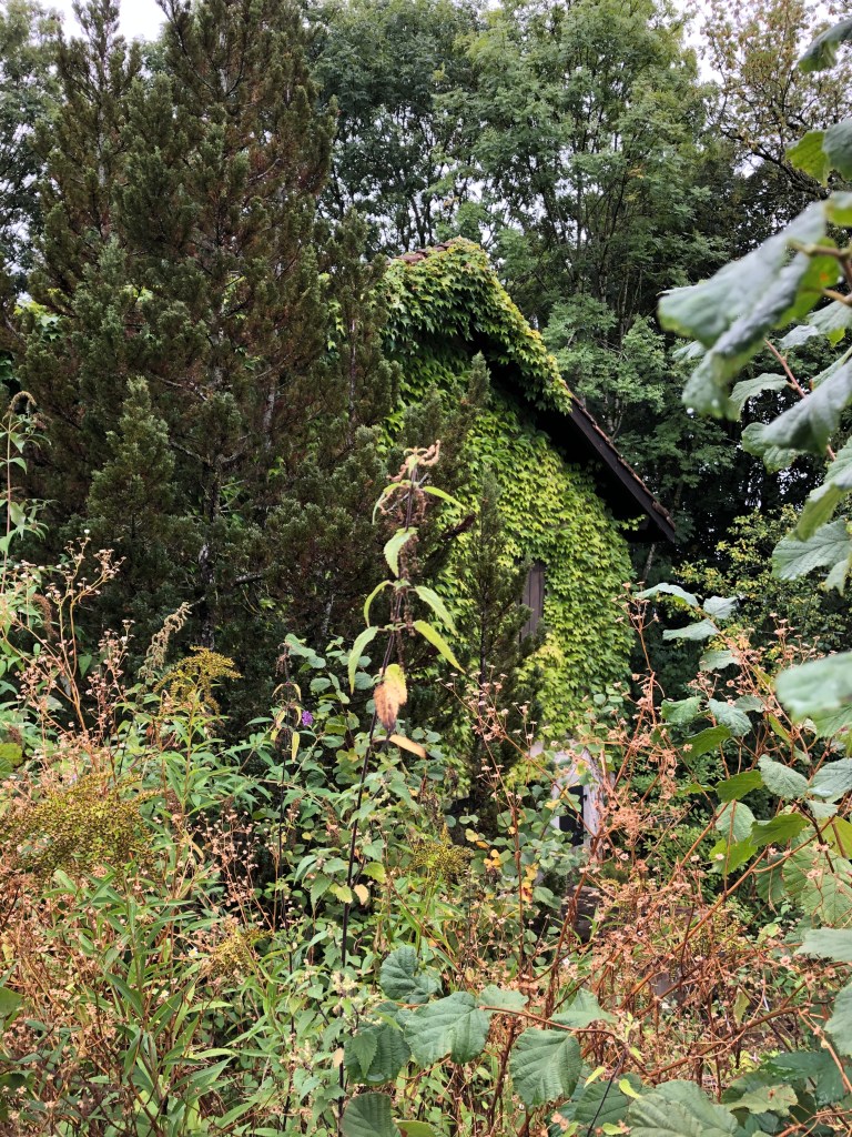
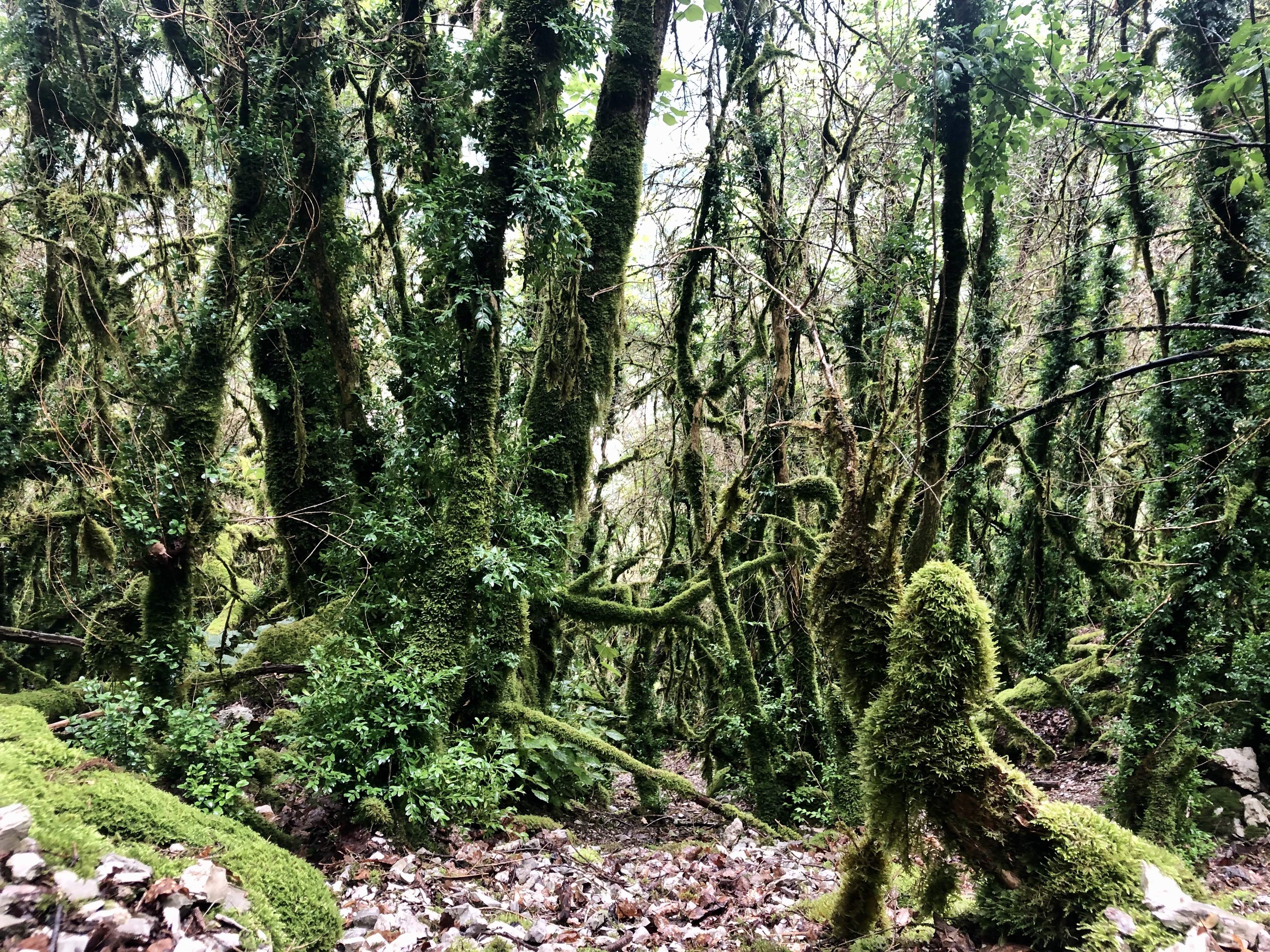
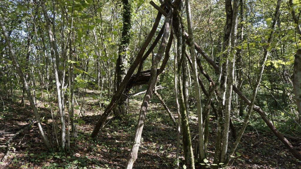
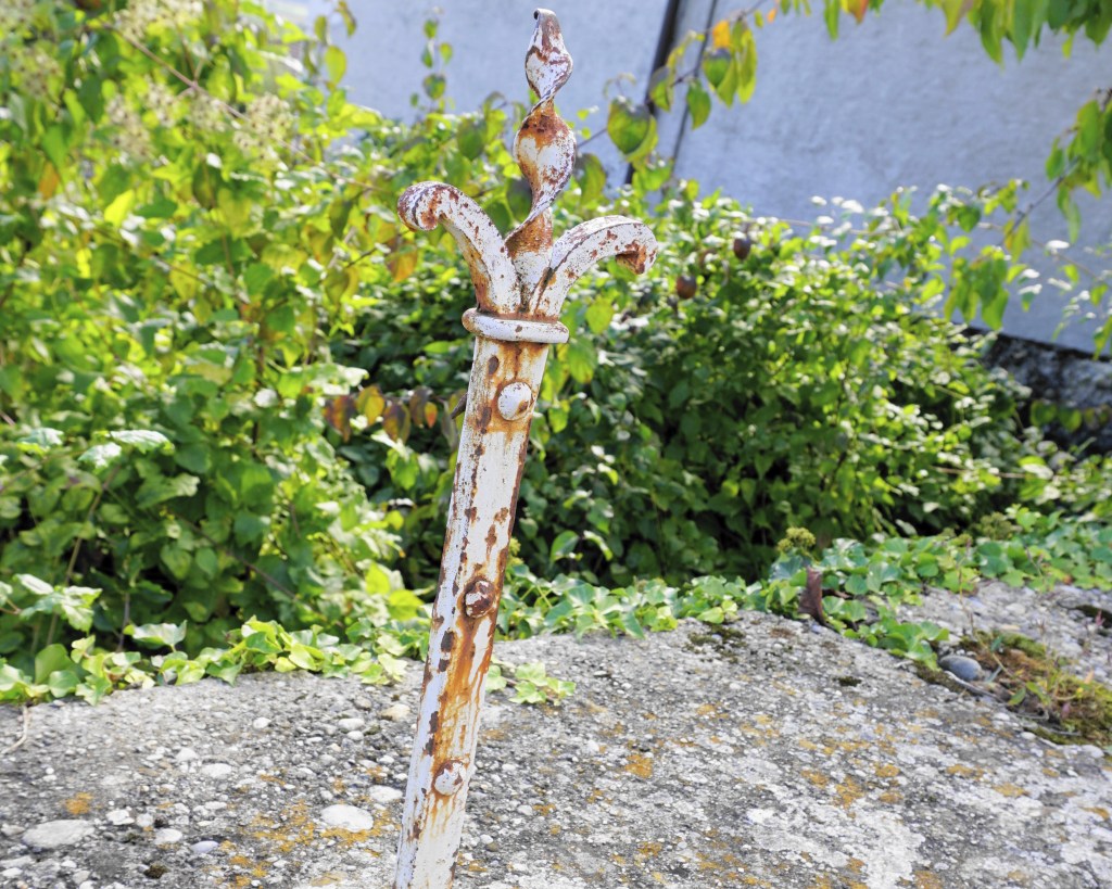
Unfortunately, I was not able to find a single trace of the chateau. Maybe you are luckier?

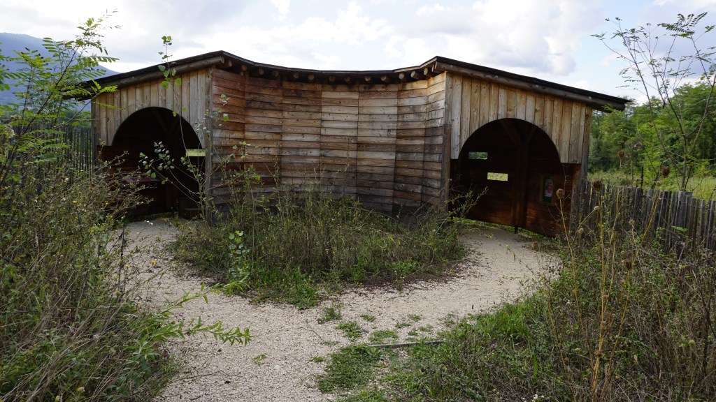
I found this, however, and with a little more work who knows it could turn into a chateau.

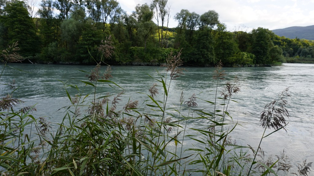
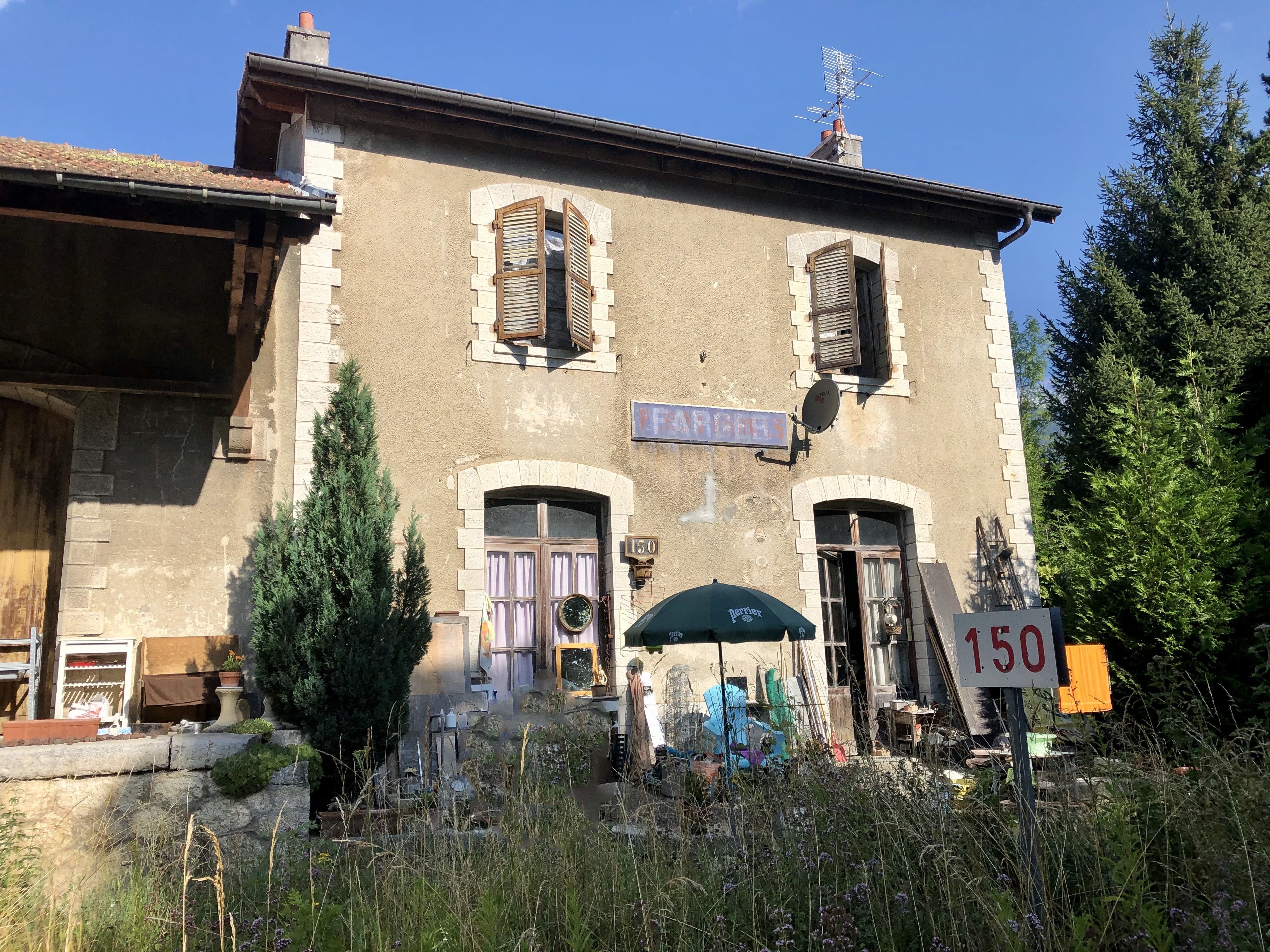
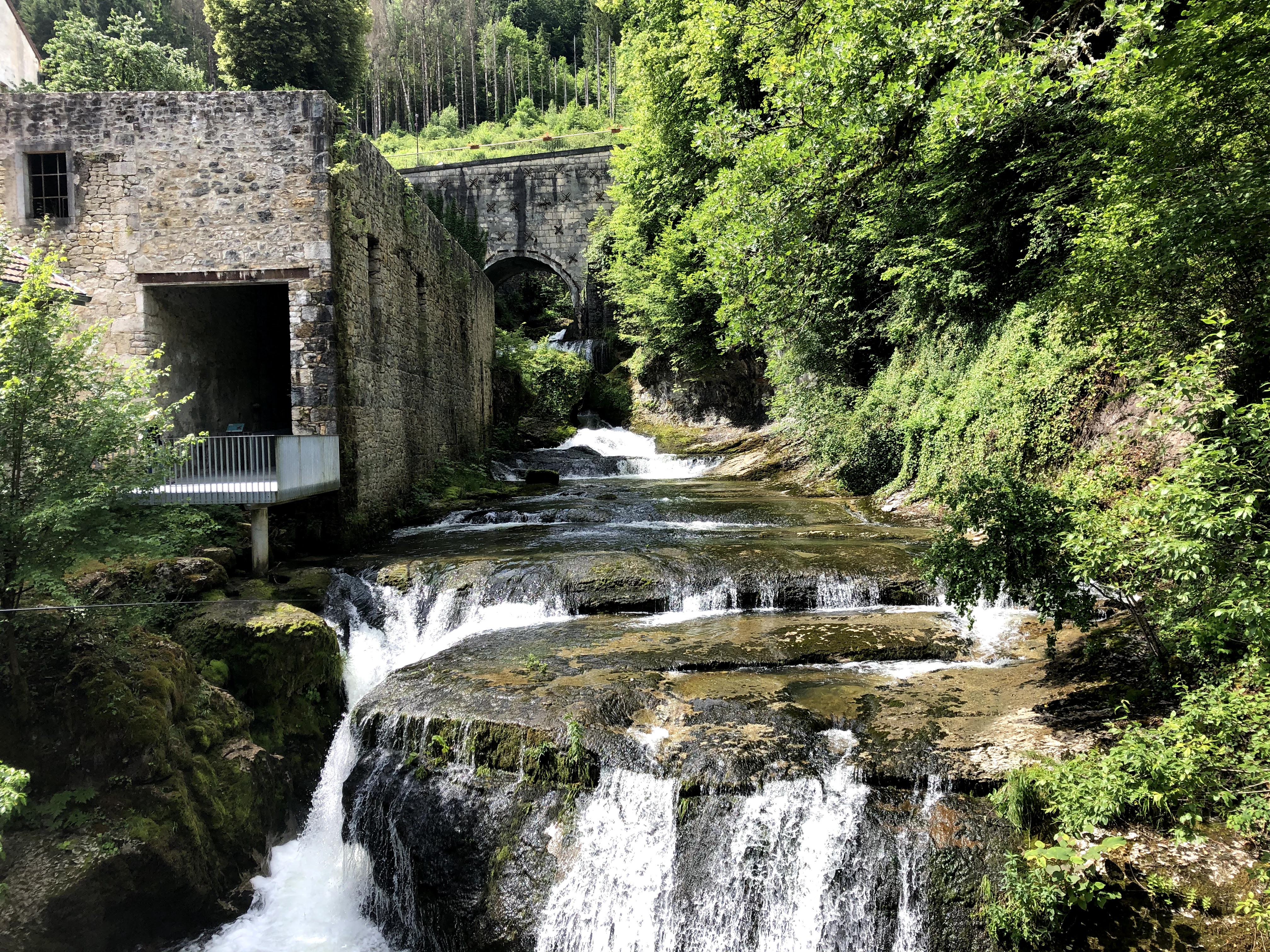
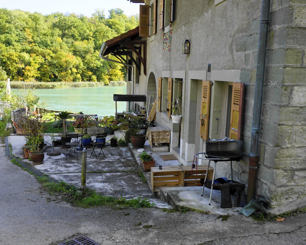
Leaving the forest, I walked down under the bridge to have a look at the Rhone. That’s where I came across this house which I think must have been an old mill. The people living here have a magnificent view. Just imagine having your breakfast on the terrace on a summer day, with the Rhone gliding gently by.

What a luxury!

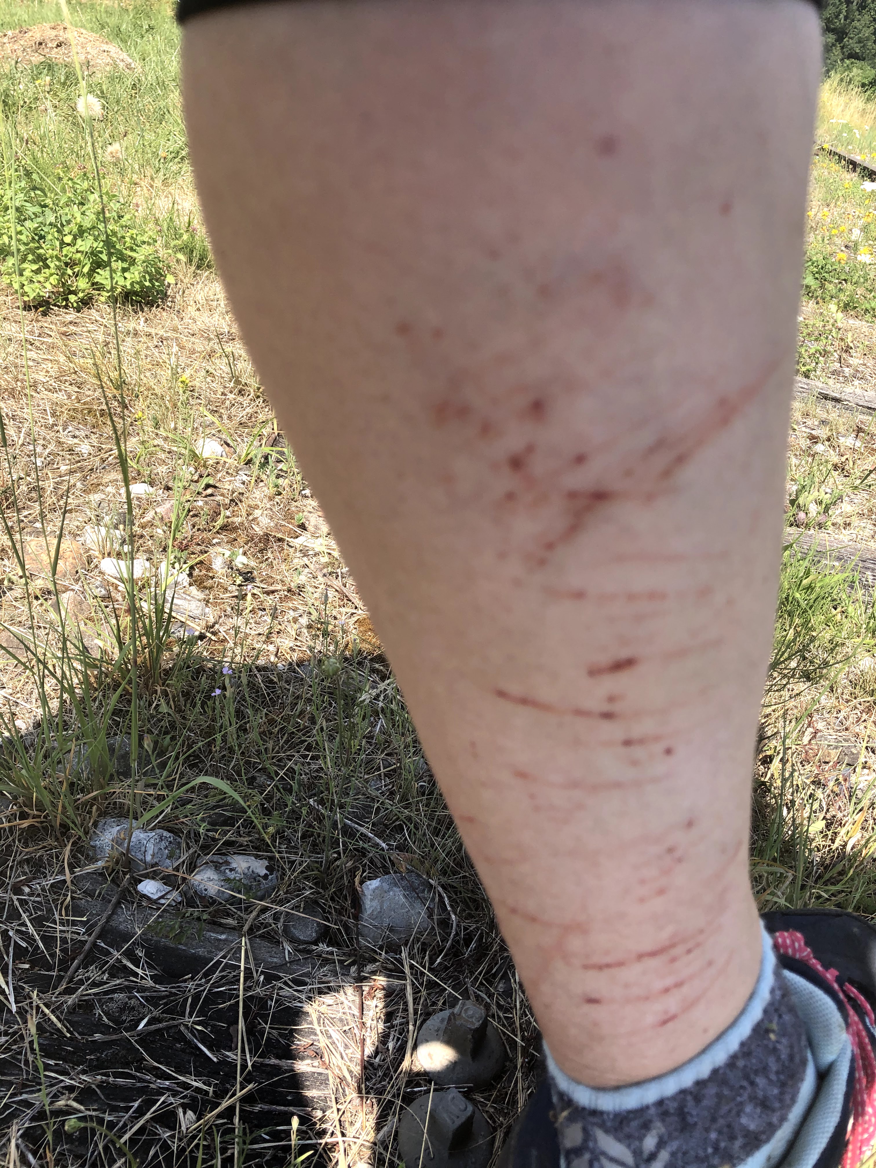
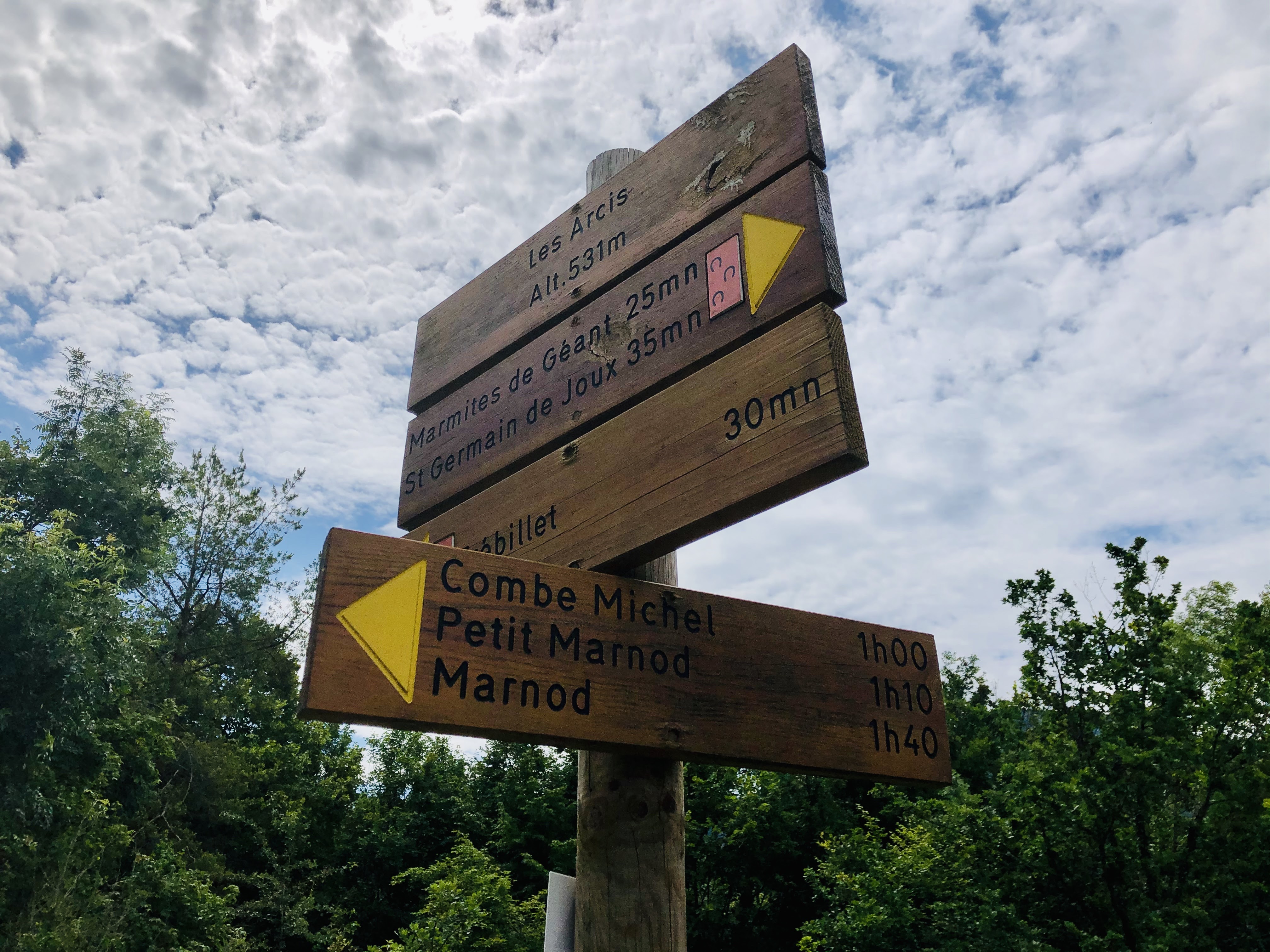
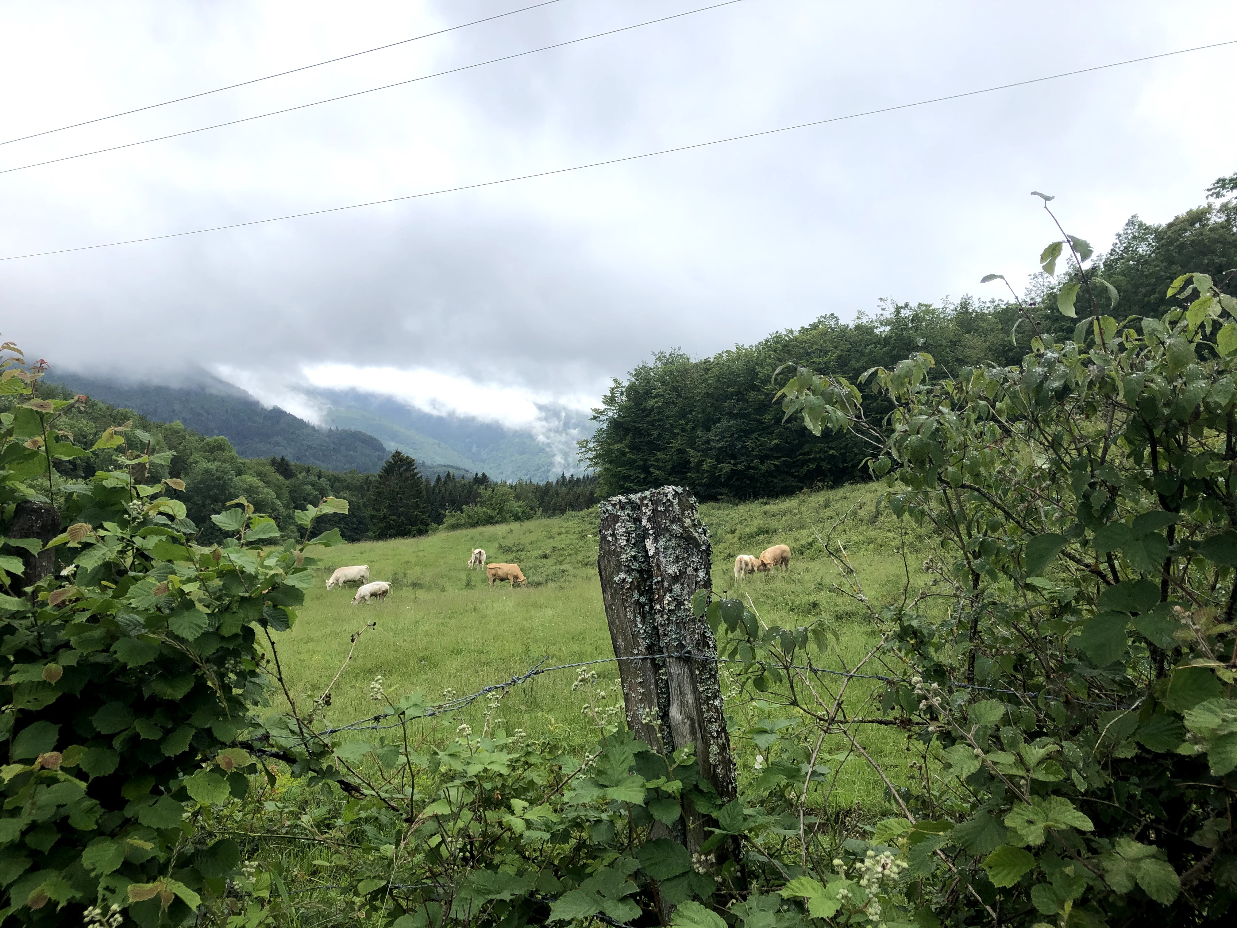
Now, on to the sporty part. I hadn’t really realized that until now, my walk had been mostly downhills. From here on, you’ll get reminded about your heart and lungs! When you see this crossing, walk left and continue up, up and even more up on to the Rue du Chateau.

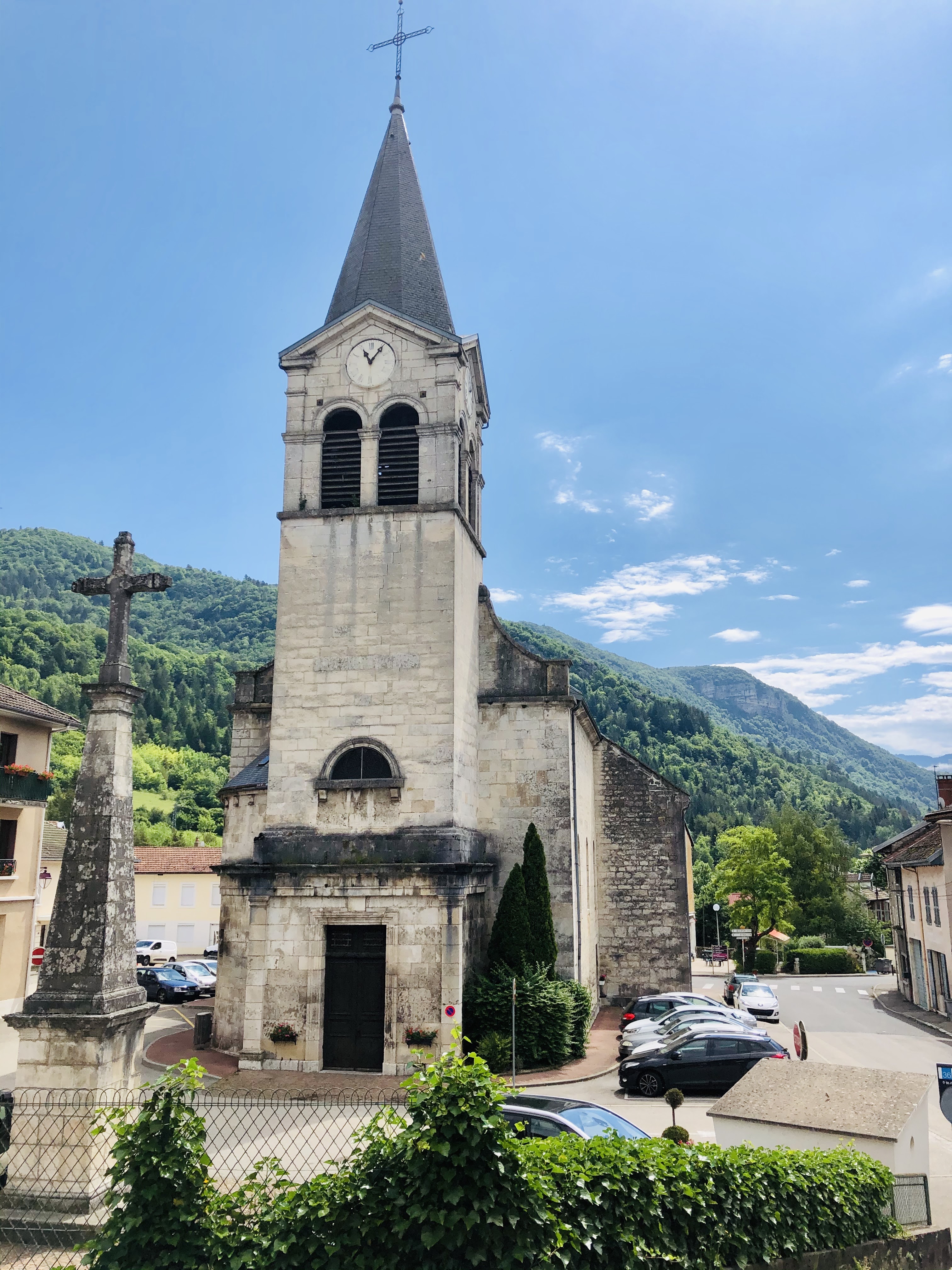
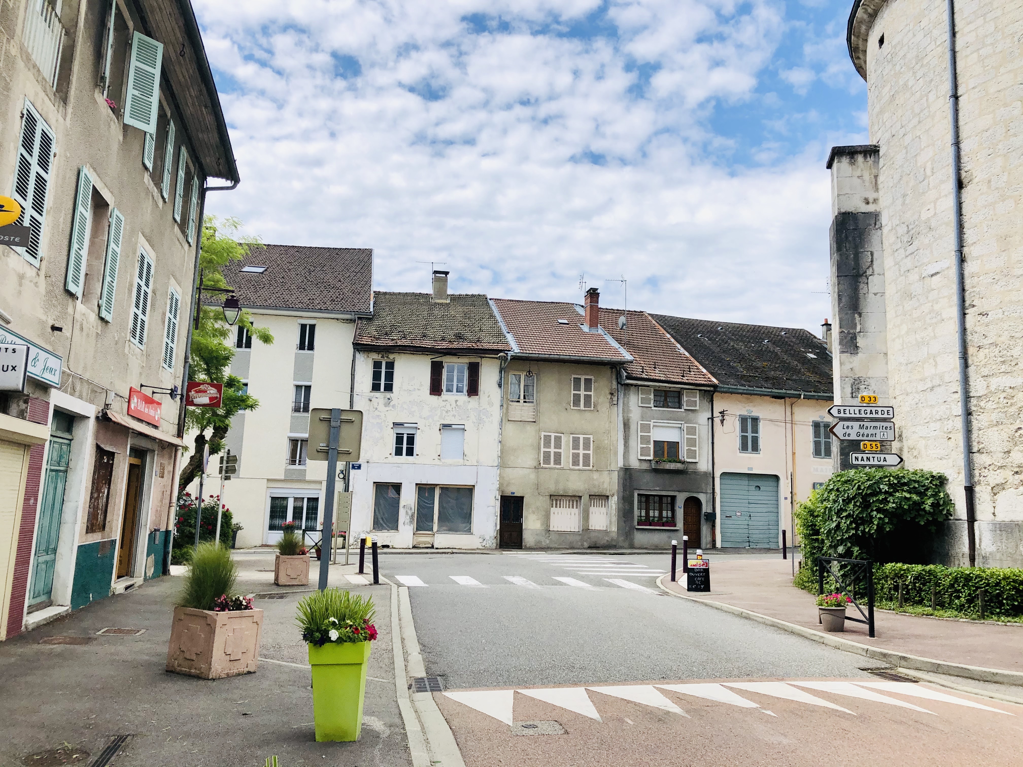
On Rue de la Treille, walk to the left and through the little village centre of Challex. If the Auberge is open, you can enjoy a drink on the terrace overlooking the woods below, where you’ve just enjoyed your forest bath. Continue for a few more meters and you will be back to your starting point.

Enjoy discovering Challex, and feel free to share!

France: Marais de l’Etournel in Pougny

The Etournel marsh is located in the communes of Pougny and Collonges and not far from the river Rhône. The park is especially designated for the conservation of marsh birds, fish and plants.

You can download this map and a folder that contains more information about the park and the various plant and animal species you can find there here, only available in French.

Following the cessation of pebble extraction in 1990, the area has been recolonized by wet woodlands.

Spread over 190 hectares you will find woodlands, reed beds, ponds and meadows. Together this constitutes an essential reservoir of biodiversity and acts as an important stopover for migrating birds.

Walking around the 9 ponds, you are given plenty of opportunity to watch birds and other animals in their biotope. Nearly 210 different species have been observed nesting, wintering or stopping over while migrating. It is also the habitat for several mammals like beaver, deer, hare and polecat.

If you are very lucky, you can catch a glimpse of beavers in action. The beavers are night animals it is therefore more likely that you will find the result of their work. Beavers cut down threes for food and for building dams and lodges. Beaver teeth never stop growing so chewing wood helps keep them sharp and prevents them from growing too long

If you have a fishing rod, buy a licence and try your luck. Fishing is allowed in pond 1-6 of the 9 ponds.

The loops takes around one hour to finish. However when you visit, I will recommend you to not rush, but bring a picnic blanket, a thermos of coffee, binoculars and plenty of time.

If you want to read more about wetland biodiversity and why it matters you can find reading material in English, French and Spanish here.

If visiting between the 15th September and 15th November the park is closed for visitors between 18.00 and 08.00 every day. This is because this is the mating season for the deer, if you violate the visiting hours you might find yourself with a hefty fine.

Enjoy visiting Marais Etournel, and feel free to share!

France: Segny to Veraz – along the Grand Journans

When you’ve decided to go for a walk in the Jura on a rainy, cold and grey Sunday in late August, and it looks like this up at Col de La Faucille

and you realize yours is the only car in the parking lot, there’s only one thing to do: drive back down and decide to revisit parts of a walk in the lowland that you’ve blogged about earlier from Segny to Chevry. The new itinerary can be found and downloaded at the bottom of this post.

Time: just over 1 hour              Km: 5                      Hight to climb: 61 meters

With today’s view of the Jura and the Alps I should have known better than to drive all the way up there…

Actually, it is very refreshing to be out in the rain and it always makes coming back home so much more of a pleasure.

I stopped in Segny and walked towards Veraz. This time I decided to walk along the Grand Journans river.

When you reach to the bridge, take left instead of continuing directly to Chevry.

Walking along the stream is so calm and peaceful. With newly built houses on both sides I was amazed to realize I was the only one out and about.

When I came to this little bridge…

…I crossed over and walked through the little hamlet of houses with beautiful gardens in Veraz.

After a few meters on Rue des Moraines I turned right, and before I knew it I was on the Sentier des Vignerons. I did not see any signs of grapes or wine but if you are a tall person there are plenty of blackberries to pick if you do this walk at the right time of the year.

Can you see the house?

When you see a narrow path to your left that goes up across the field, choose this as it will take you up to the bigger path called Sentier des Boraz. Follow this path back to your staring point.

Happy walking, and feel free to share!

France: Walking along the old railway lines from Collonges Fort-l’Ecluse to Divonne-les-Bains

I am sure a lot of people in the Pays de Gex area still remember the Collonges- Fort-l’Ecluse – Divonne-les-Bains railway line passing through Pays de Gex.

I arrived here for the first time in the late nineties, and to start with I was always careful when approaching a train crossing. I was soon told there was no need to worry about being hit by trains since the line had already been closed for many years.

Later, I remember hearing people claiming to have seen recent trains, and I remember we tried (after giving them incredulous glances at first) to work out how that could at all be possible. You’re probably laughing right now because information is so easy to get hold of these days. Twenty years ago, there were no Facebook groups, and the information on Wikipedia was scarce (especially in French). Exploring this train line has therefore provided me lots of new knowledge about the train line that runs from one side of the Pays de Gex to the other.

Here are some historic facts:

The railway line between Collonges-Fort-l’Ecluse and Divonne-les-Bains was inaugurated in 1899, at the height of the railway craze sweeping through most of Europe. The length of this railway line was at the outset 38 kilometres. Five years later, you could travel all the way to Nyon in Switzerland from Collonges-Fort-l’Ecluse, however, this part was closed and removed in the early 1960’s when the highway was built.

During the second world war the line was closed for traffic.

The last passenger train on the Collonges to Divonne line ran in 1980. I assume this had to do with the proliferation of individual transportation that has changed so many other aspects of our lives: constructions of motorways and more and more households having access to a car. With institutions like CERN and the United Nation setting up offices in Geneva, the traffic patterns had also changed, and the need for travelling into Geneva was probably now much larger than the need for going to exotic places like Bellegarde and Lyon.

In hindsight, I think you could say that the local politicians were short-sighted, because closing this railway line made public transport within Pays de Gex almost impossible for many years. There used to be three to four train services per day, and the communes in Pays de Gex fought to keep their beloved train line, but it was just not profitable enough.

With the large influx of people into the area in the last 20-30 years, and the difficulties we now face going from one village to another, this train service would probably have been very useful today. My own kids very quickly found out that it was easy enough to use public transport to go into Geneva, but using public transport to see their friends around Pays de Gex was impossible for them for a very long time.

Reading up a bit on the history also shed light on these ghost trains I’d heard about and proved that those friends of mine were indeed not delirious or mad after all. From 2001 to 2014, part of the railway line was actually used to transport household waste from Chevry to Bellegarde to be incinerated twice a week.

In 2014, the railway line was closed for good.

From Divonne to Gex, the old railway lines have been transformed into a very nice walking and cycling path.

However, today we’ll focus on walking on the real tracks. A railway walk is perfect whatever the weather. However, if you want to explore the parts that have not been transformed into a walking path, I will recommend long socks and trousers. Speaking from experience, I can say that wearing a pair of shorts and short socks is not ideal on overgrown paths with thorn bushes and nettles. But on the upside, from July to September you don’t need to bring a snack with you as you can feast on the delicious blackberries growing in and around the tracks.

I have done two outings walking on the railway line, for both walks I started in Asserans where I literally parked on the railway lines. I then walked from Asserans to Peron and back and from Asserans to Collonges and back. You will need plan around two and a half to three hours for both walks.

The most scenic walk was from Asserans going west, to Collonges. Here you will be walking through two tunnels and across two spectacular train bridges.

The first is tunnel is Grand Echaud which is 258 meters, followed by the Tunnel des Isles which is 149 meters. In both tunnels, having a flashlight available is handy. Luckily most phones these days have this tool built in.

The two impressive bridges, or viaducts, are the Viaduct de Grand Echaud and Viaduct d’Almogne.

The old station building in Collonges Fort-l’Ecluse is not a very interesting sight and you will probably be better off enjoying the nature, pretty views, tunnels and viaducts on your return to Asserans.

Enjoy walking, and feel free to share!

France: The Giant Kettles in Saint Germain de Joux (Les Marmites de Geant) and Combe Michel

Features: Forest – river – history – panorama view

Overview: I will say it is a medium to difficult walk, mainly because of the crossing of the scree

Time: around 3-4 hours               Km: 10                Hight to climb: 568

You will find the map at the bottom of this page.

This walk brings you to the heart of the Semine valley, and you will be able to explore its hydraulic heritage.

The staring point is in the centre of Saint Germain-de-Joux where it should be relatively easy to find a parking spot for your car. I found ample parking right next to the church.

To find the start of the walking path you’ll have to walk 50 meters down in the direction of Bellegarde on rue de la Gare.

You will soon see the familiar yellow signpost which is right after the petanque area on your left-hand side. The path will take you down to the Giant kettles – but before going there, you should take some time to explore the old sawmill.

The water wheel, which has been completely restored, measures 7,54 meters in diameter and has 96 blades. This makes this water wheel the biggest in the department de l’Ain.

Back in the good old days this little village had no fewer than eight sawmills along the two rivers that connects here, and the last one closed as late as 1998.

One of these sawmills also used to cut stone coming from a neighbouring quarry, and most of the churches in the area were then build with these stones coming from Saint Germain-de-Joux.

When crossing over the bridge you will see a new yellow sign indicating the hiking path. Follow the path down along the river to Les Arcis.

From Les Arcis, follow the signs towards Combe Michel and Marnod,

until you reach this signpost:

The first time I tried to walk this route I was not able to find the path. I admit I was very badly equipped, with no good map, but to my excuse there was also a lot of forest work going on which has changed the original pathway. The trick is to not be tempted to walk down, to walk no longer than 100 meters in a straight line from the sign and keep your eyes to the left. Then, in between the trees, you will see a small path. When you’ve found it, it will take you up into the forest of Beloz.

After some minutes you will reach Pierrier du Rocher de Beloz. This is a mass of loose stones that cover the slope of the mountain. Such masses are also called screes.

Crossing this scree can be daunting. My friend who came along with me was very quick and focused on a rapid crossing, and we were both happy to put our feet back on an earthy path after the approximately 50 meters walking on loose gravel. The forest itself is amazing, with threes overgrown with moss. Bring a camera because with the right light you can take amazing photos here. You will also get a really good view of the motorway and viaducts and witness how it is sculpted into the landscape. I have so many times seen the nature from a car window along the highway. Looking at the highway from another viewpoint enables you to admire the great engineering knowledge that’s made this highway possible.

Moving on along the path takes you up and over to Combe Michel, before you start to descend back to Saint Germain-de-Joux past the small hamlet of houses in Marnod.

In Petit Marnod, we started to wonder if we’d lost track of the path, since we were faced with a barrier across the road. The trick is to walk past it and continue until you see a wall of three logs. The path follows these logs to the left. You will soon be rewarded with another great viewpoint of Saint Germain-de-Joux, the highway, and some small summits.

The Marnod is a really charming hamlet of houses and you will be walking along the road that connected these houses to St. Germain-de-Joux. If you are lucky and find some of the locals out and about enjoying their coffee or a glass of wine, they’ll be happy to talk with you. They also have a really great sense of humour and could end up asking you to watch out for crocodiles and toy cars!

Follow the signs down to Longefand and then back to Saint Germain-de-Joux.

Happy walking, and feel free to share!