Tag Archives: promenade

France: Walking from Gex to Creux de l’Envers

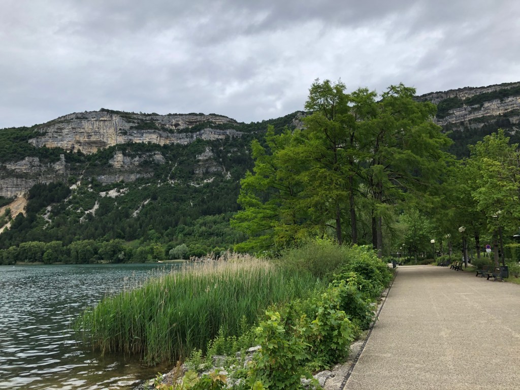
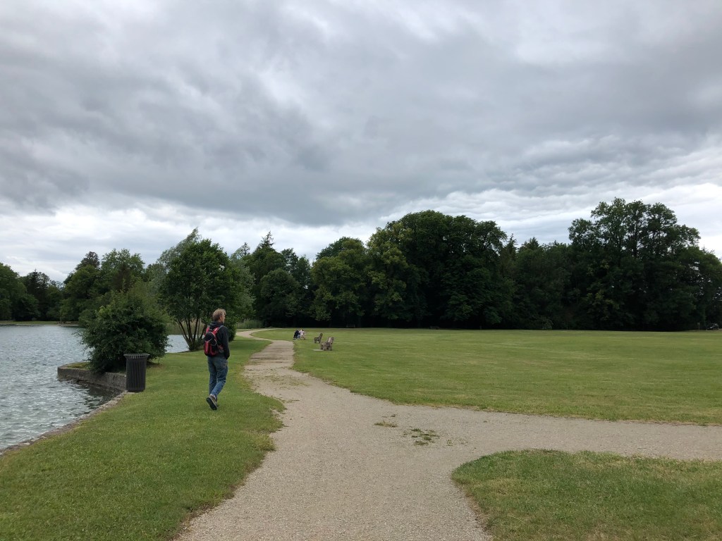
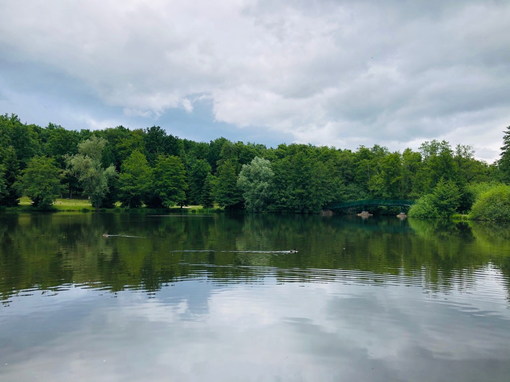
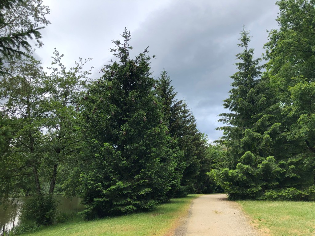
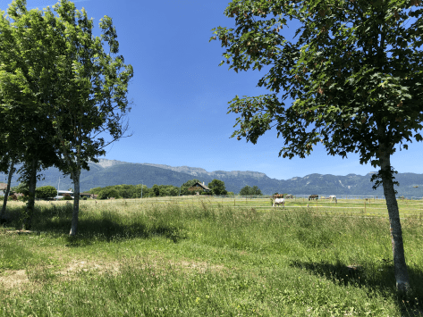
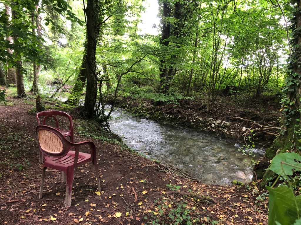
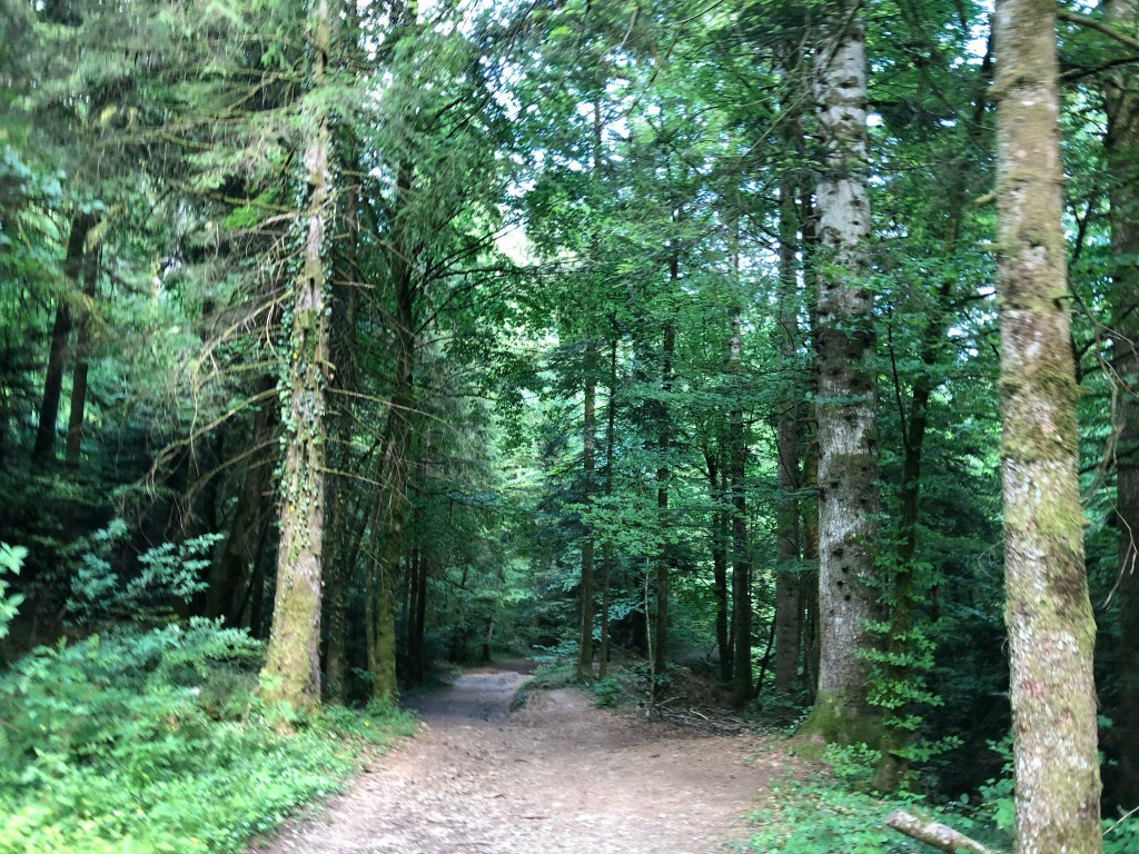
This is a walk that can be done almost the whole year around. In the springtime it is impressive to watch the quantity and speed of the water. In the summer it is nice to have a walk in the shadow of the threes, and in the autumn the colors are impressive. You will find the map at the bottom of this post.

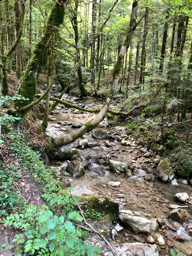
Creux de l’Envers translates into English as a V-shaped north-facing riverine valley.

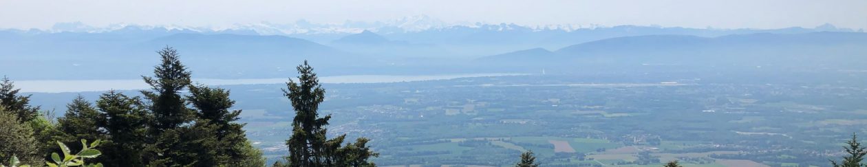
Did you know that Gex has the largest community forest in the Ain department with 1770 hectares?

Most of the forest, 1640 hectares, is a productive forest, and a small part is protected.

We depend on forests for our survival, from the air we breathe to the wood we use. Besides providing habitats for animals and livelihoods for humans, forests also mitigate or prevent the impacts of natural hazards. The protected forest is usually kept that way for preventing such things as rockfalls, avalanches, erosion or landslides, that otherwise might affect people or assets.

In recent years the climate has become much dryer and significant lack of water can cause stress on the trees. The lack of water can cause the trees to weaken, which will make them much more vulnerable for insect attacks, diseases and death. The forest workers are constantly working on increasing their knowledge on how to best protect and maintain the forest against these changes cause by increased temperatures.

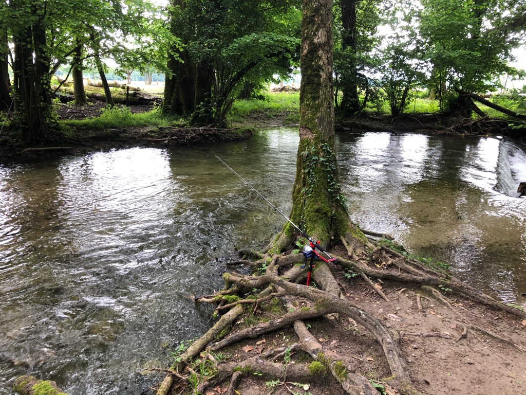
Creux de l’Envers is the source of the river Journans that flows through Gex and other communes in Pays de Gex before it ends up in the Rhone and eventually the Mediterranean Sea.

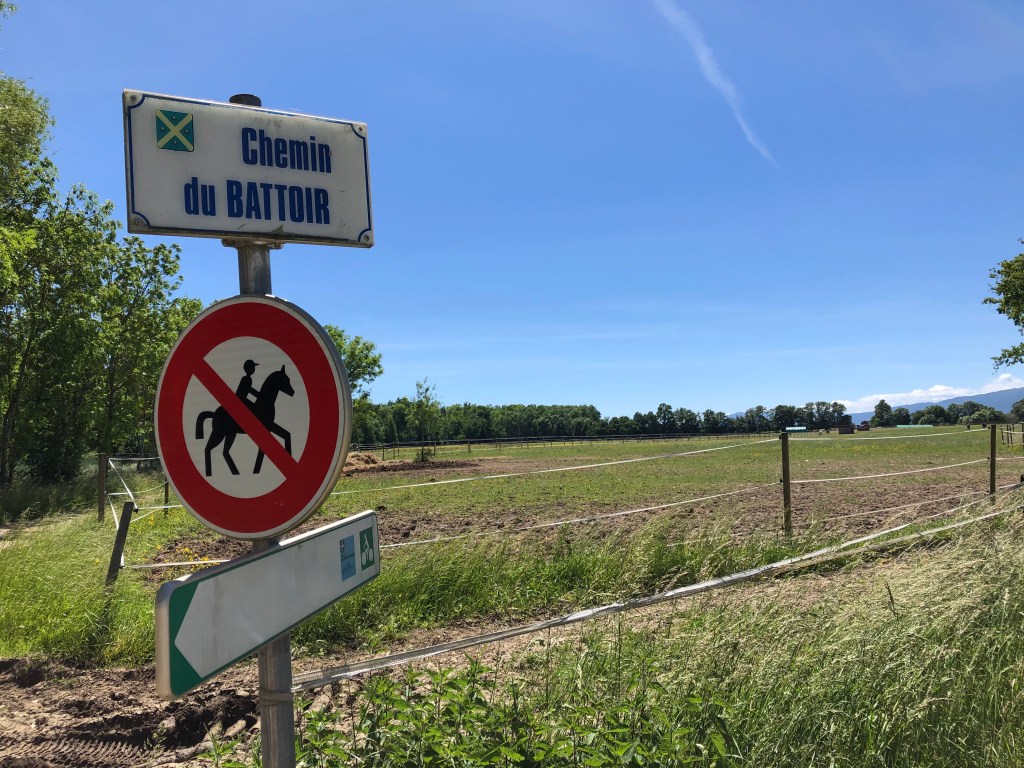
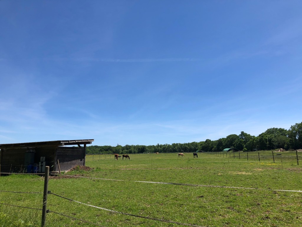
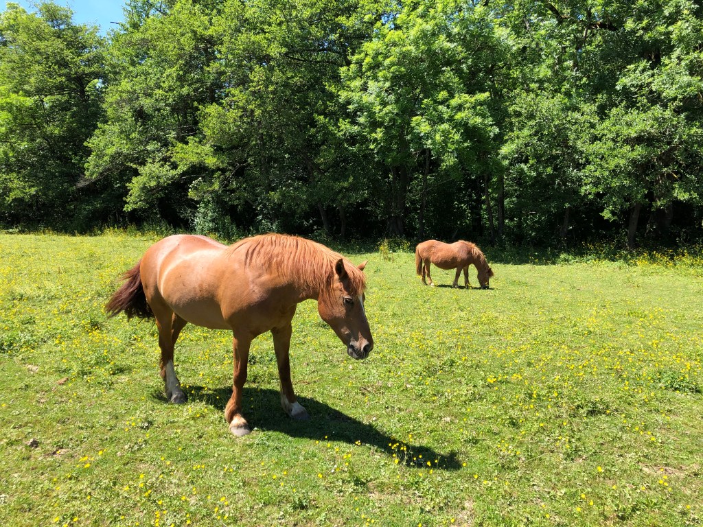
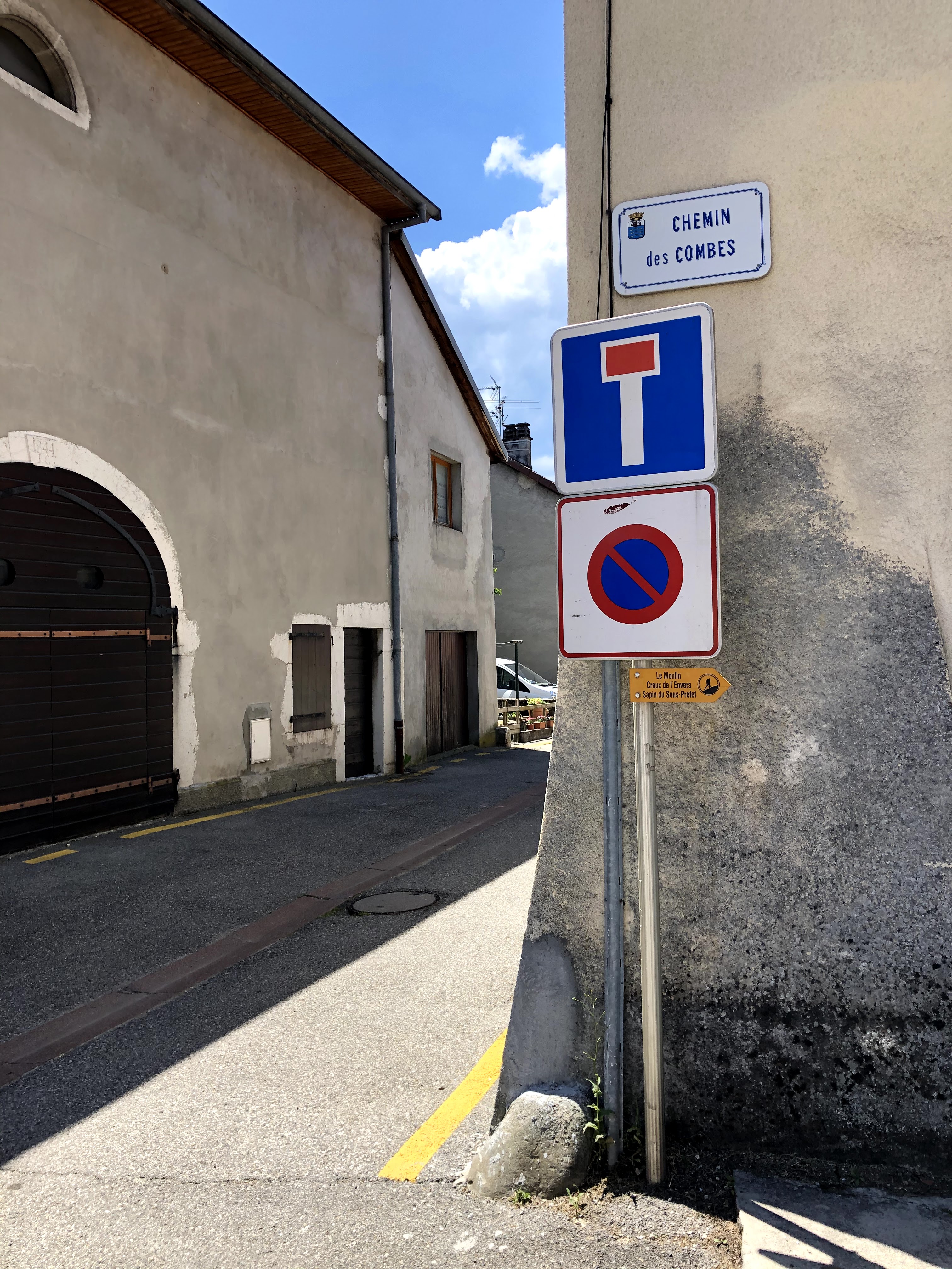
I started my walk from the Place Perdtemps in Gex where it is easy to find a parking spot for the car. If you want to go even further by car you should drive up Chemin des Galas or Chemin de la Noyelle.

From Place Perdtemps the walk is well marked with yellow signposts. The path is large and even if it goes up it is not hard or difficult to walk.

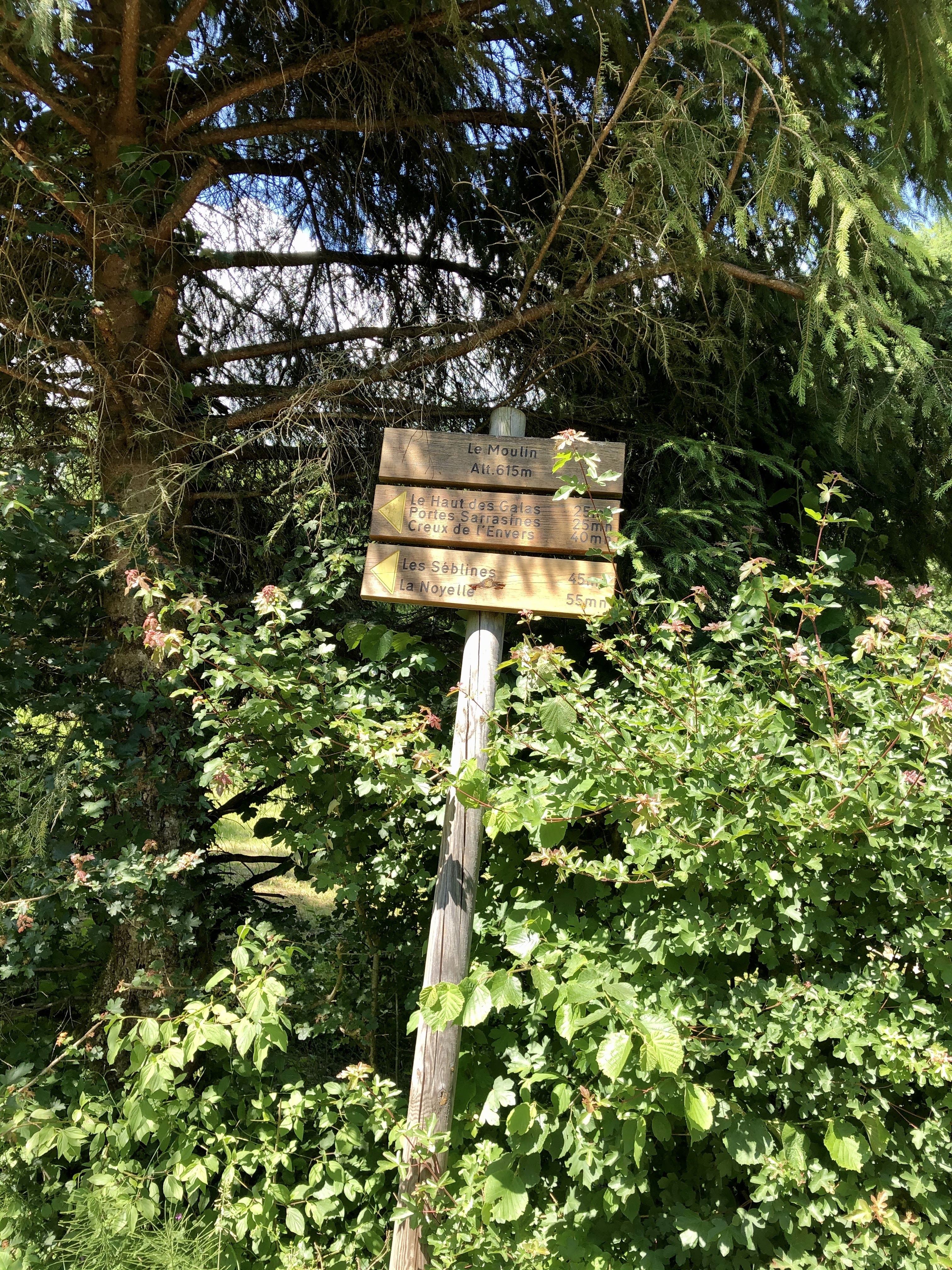
When you reach this signpost:

you can walk up directly or add a little bit to your walk and go past Portes Sarrasines and La Noyelle.

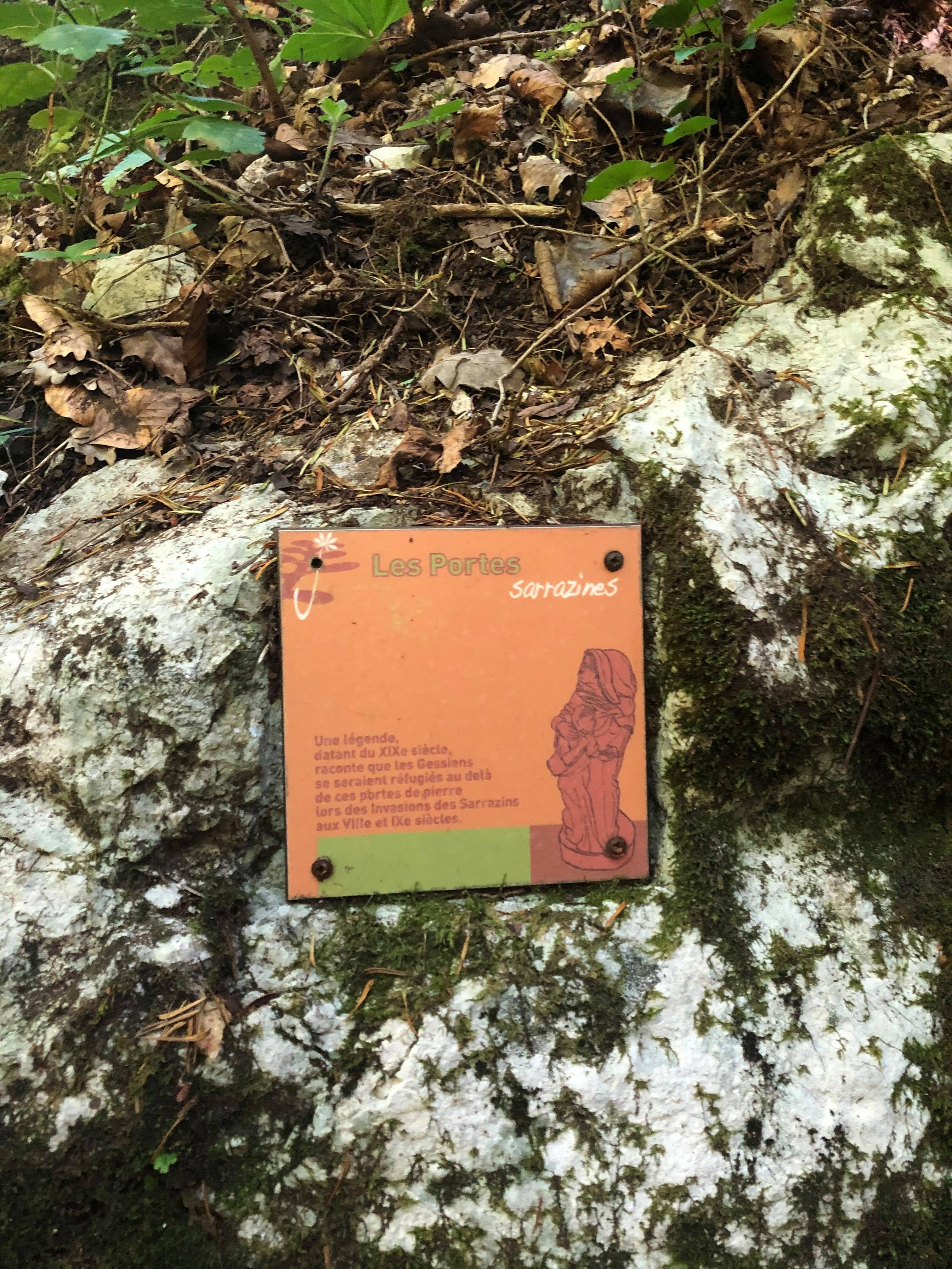
The legend says that the population of Gex came to take shelter behind this narrow gorge during attempted invasions by the Saracens (which was the term used in the middle ages to refer to Arab Muslims) in the 8th and 9th centuries.

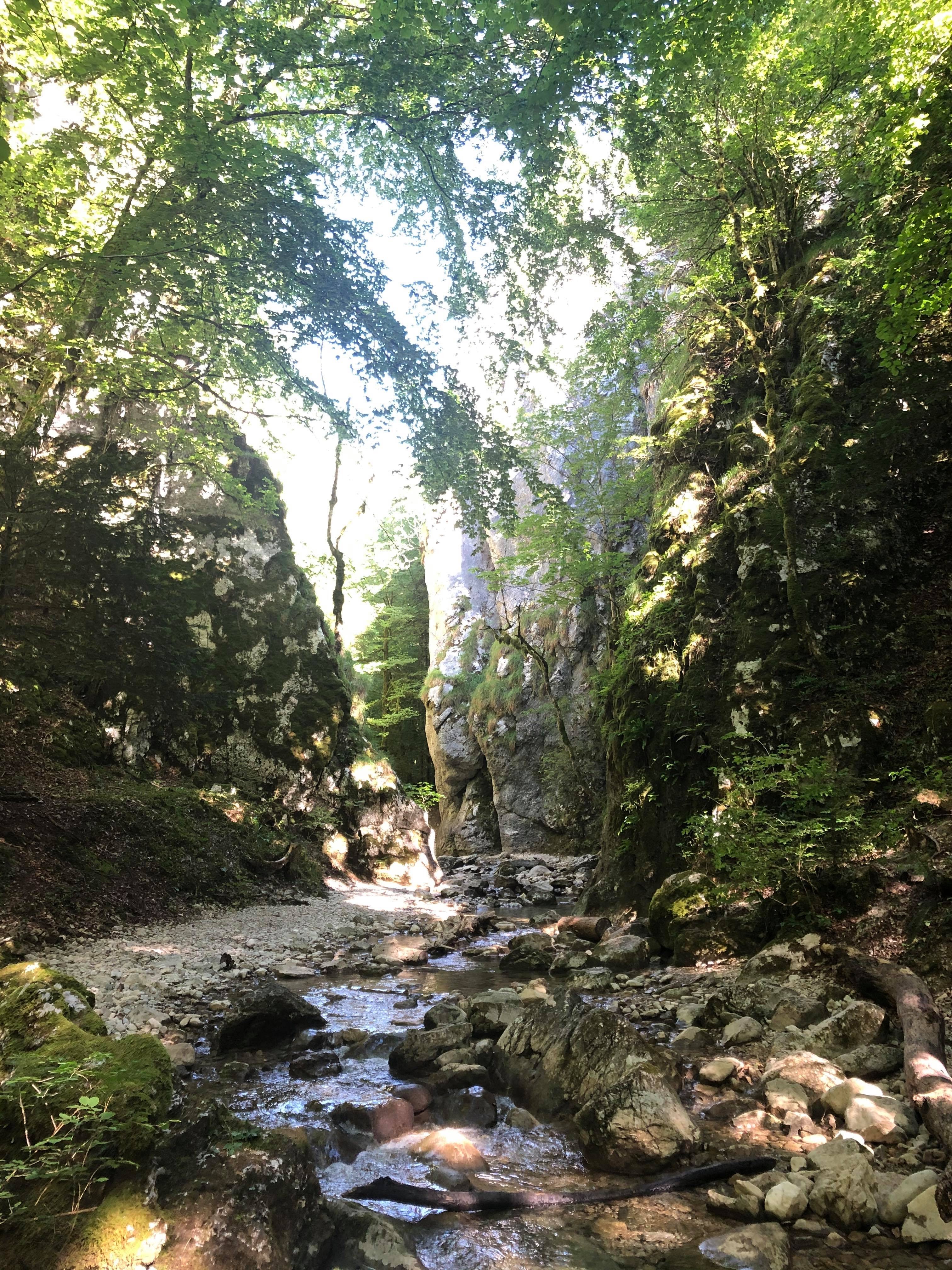
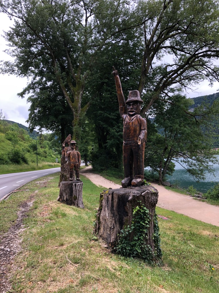
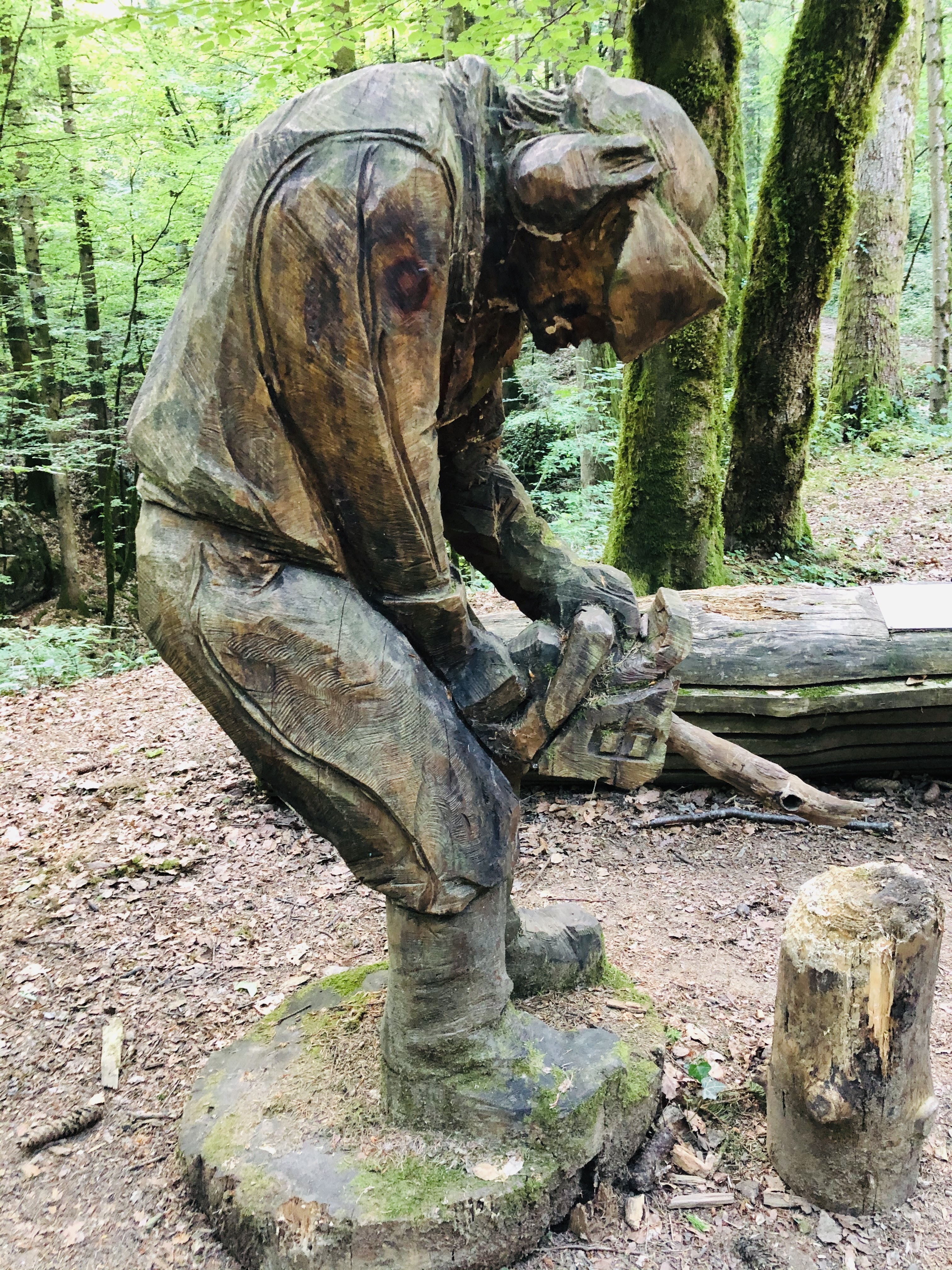
When you reach Creux de l’Envers it is a must to walk down the narrow path to look at the impressive nature and also the wooden sculpture the artist Adrien Meneau has cut out with a chainsaw.

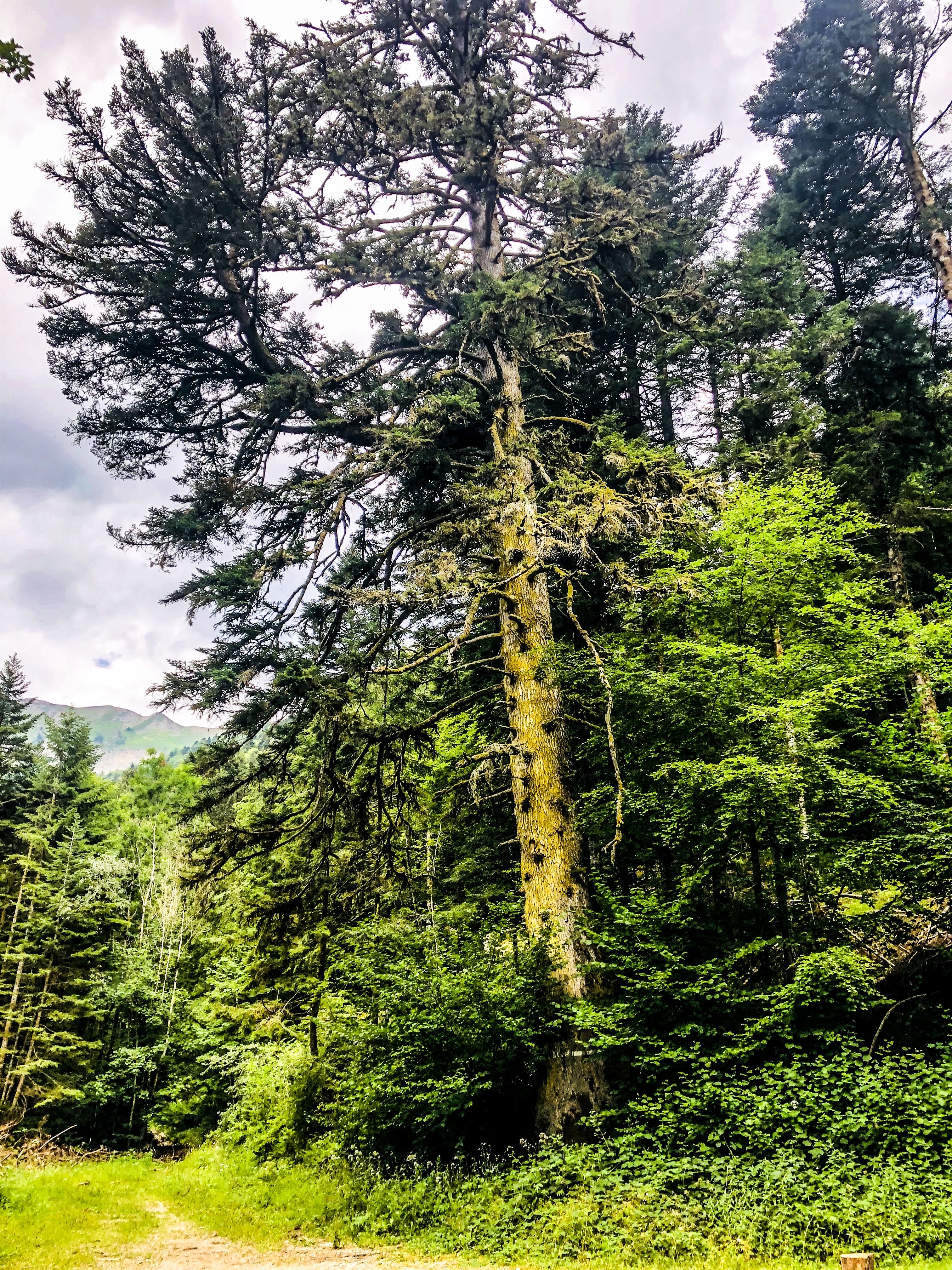
From Creux de l’Envers you can choose to continue walking up to Le Sapin du Sous Préfet. This remarkable tree was measured in 2019 to be 46 meters high and has a diameter of 5,80 meters.

Depending on which way you chose walking up to Creux de l’Envers, you can make it a circular walk, or you can walk back the same way you came up.

Happy walking, and feel free to share!

France: Lake Nantua – The lake surrounded by mountains!

Walking around the Lake in Nantua and visiting the museum dedicated to the French Resistance.

If you live in the Pays de Gex or Geneva area, have you taken some time to visit Nantua?

This little town used to be on the main route between Geneva and Lyon. Since the motorway came into existence, people tend to pass it on the impressive viaduct, barely getting a few glimpses of the small town and adjacent lake before entering a tunnel.

The drive there should take you just under an hour, depending on where you live. Why not take that old route to Lyon, passing Chatillon-en-Michaille and Saint Germain de Joux. This should take just a couple of minutes longer than the motorway (according to my GPS), and you won’t have to pay the motorway fee.

I have wanted for many years to verify the possibility of walking around all of Lake Nantua. As it turns out, waiting for so long was actually a good thing. A beautiful walkway has recently been built around the whole lake and the inauguration took place only last year.

If you visit Nantua on a Saturday afternoon or Sunday, the path along the south side of the lake is even closed for cars, making the walk even nicer. There is a nice big parking by the lake in Nantua, but I believe it must be packed on nice and sunny days. If this is the case, you could try your luck at the other end of the lake, in one of the small towns of Montreal-la-Cluse or Port and start your walk from there. There are also some smaller parking areas along the north side of the lake.

You will find the map of the walk at the bottom of the post. If you are an adult it should take you no more than around 1,5 hours to walk around the whole lake. However, you may want to stop for a picnic, either at one of the benches somewhere along the lake path, or in Montreal-la-Cluse where there is a big park with picnic tables. It is actually forbidden to go for a swim in most of the lake, apart from the designated areas close to Nantua where there are stairs installed for entering the water and a special peddling pool for smaller children.

Around the lake you will find that you can do many types of water sports, including sailing, diving and fishing.

If you start your walk in Nantua, going clockwise around the lake, you will be passing a memorial site for victims deported to concentration camps during world war two. In the Ain department, the resistance against both the occupying Germans and the Vichy government was particularly strong. The monument was inaugurated in 1949 and is a symbol of hope and the right to freedom for all. It has the names engraved of the 595 people who died and were never able to return home. It is very hard to walk away untouched by all the suffering these poor souls must have gone through.

After completing our walk, we visited the Musée de la Resistance et Déportation in Nantua. This museum offers great insights into the resistance movement in the region during the second world war. Most of their information is also provided in English. Since our visit took place right after the opening after the COVID-19 confinement in 2020, there were still restrictions on many things, such as the number of people allowed at any time. Also, we could not borrow any of the audio devises and we could not take any leaflets. The staff however was super friendly and made the visit extremely pleasant in spite of the restrictions.

I strongly advice to set enough time aside for a visit to the museum, either before or after the walk, because this part of the local history is very fascinating and there is a lot to take in.

I hope you enjoy visiting Nantua!

France: Etang de Cessy – Lake Cessy

Espace de Loisire de Tutegny

Accessible for all and open all year round

You will find the map on the bottom of this post.

Distance: from 700 m to 2,165 m

Every time I come here, I’m stunned by how beautiful and well maintained this little lake is. It’s clear that many people treasure this little hidden gem of our region.

On the little hill behind the lake you will also find paths lined with wooden gym equipment, available for free for everyone.

The commune of Cessy has created a rather big car park and you will find benches, picnic tables and barbeques, making this an ideal outing on a nice summer day. Being in France you will of course also be able to play Petanque on the two lanes created especially for this activity.

The walk around the small lake is only 700 meters but feels much longer because you will be busy looking at the flowers and bird life.  Being surrounded by the Jura mountains on one side and the Alps on the other is also adding to the beauty of this site.

For small children this is a true paradise with so much to see and do. They will quickly forget complaining about being tired.

If you look closely you will see several big rocks. These were probably transported here all the way from Martigny in Switzerland by the ice thousands of years ago, when glaciers ruled this part of Europe.

If you think walking 700 meters is not enough, you should stroll up the little hill and make use of the sports equipment you find along the route.

Finally, if you have purchased a fishing licence (www.cartedepeche.fr), you could try catching a carpe, pike or any of the other species found in the lake.

Happy walking, and feel free to share!

France: Discovering Bois Chatton

Features: Forest – horses – 1970’s architecture

Overview: Accessible for all

Time: around 1 hours    Km: 3,5 km

Description: This is the perfect walk to do with small children, because it is not too long and there is enough to see and explore to keep them entertained.

I parked my car at the entrance of the quartier near the school. See map below if you do not know the area very well.

The residential area of Bois Chatton was built in 1973 and it consist of 225 houses.  If you look closely, all the houses must have looked more or less identical when new, but the residents have individualized them over the years.  It is actually a very charming residential area built like a labyrinth with a communal area/playground in the middle.

The entrance to the forest is where Rue Turet and rue Versoix meet.

Follow the trail into the forest until you come to a crossing with a wide path, then take left.  Follow this path across the fields until you come to a new crossing and spot the sign that says Chemin Battoir.

You will now walk along a small stream, La Lillette, where you can see the horses from Bellevue stables. There are benches and picnic tables along this path, so why not bring your lunch or snack and enjoy an outdoors meal?

Next to the stable, there’s even a skate park.

Follow the path back to the entrance to the residence, where you started the walk.

Happy walking, and feel free to share!

France: A walk with some history Pouilly and Pregnin

Features: River – religious monuments – historic buildings – railway

Overview: Accessible for all

Time: around 2 hours     Km: 8,5 km

Description: My start point was the big car park next to the church in Pouilly. If you don’t know the area, have a look at the map you can find at the bottom. There, you can also download the trajectory.

Before you start off on your walk you should take a minute to look at the church. The Église Saint-Pierre de Pouilly is the oldest building in St. Genis-Pouilly, and it is also among the oldest buildings in the whole of Pays de Gex.

The church was constructed in the 12th century on the ruins of a Roman villa. Over the years there have been numerous modifications made to the building, but the church choir remains as it was originally. The bell tower and the nave were built in the middle of the 19th century, and the two side chapels were built in 1847.

Inside the church there are two valuable old paintings. One of these was given by the emperor Napoleon in 1861.

To start walking, go back to the roundabout and follow Chemin de la Lechere all the way until you see the Botanic garden centre on your right. On the way there, you will be walking past the allotment gardens where you might see people growing their own vegetables in the summer months.

Just before the entrance to Botanic and the new sports shop and climbing centre you will see a narrow pathway on you right.  It is marked with a little blue stick. This little pathway will take you to the statue of La Vierge des Marais.

Few people know about this statue and even fewer have visited this monument which is basically located in the middle of nowhere. Its history, however, is fascinating.

In the 12th century, the lordship of Gex drained the surrounding land and built a castle to protect the pathway from Geneva to St. Claude via the Crozet pass. This castle was then destroyed in the 15th century by the Savoyards.

Because of an outbreak of fever in the villages of Pregnin and Pouilly, the swampland was drained again in 1817 as an attempt to protect the people. It was largely believed that the causes of the disease were to be found in the swamp. Despite this drainage, people in the nearby villages still got fever and diseases. The locals then asked for protection from the church because some believed that an evil spirit, the “virgin of the swamp”, was the main culprit.

In 1858 the statue was erected thanks to donations and work provided by the local people. In the 19th century children were baptized there on summer days. Every 31st May the inhabitants from the surrounding villages went in procession to La Vierge des Marais. Today these rituals have largely been forgotten, and very few now make theit way to this place that at some point in time was very important for people living in Pregnin and Pouilly.

Back on the main path, continue up Rue de la Faucille until you see Hotel Kyriad. Here, you take left and continue straight on as you walk past the Boulodrome (yes, we’re in France!) and cross the Allondon river. You then arrive at a crossing where you take right and walk across a roundabout. Follow the little road next to Sidefage and after a few meters you will pass an area for motorbike sports. You’ll find yourself on a small pathway. Walk along the old and closed-down railway line (no need to look out for trains!). After a few hundred meters, around the 3 km mark, I suggest you walk down to the river to listen to the sound of running water. If you’ve paid your fishing licence (www.cartedepeche.fr), this a good spot to try your luck with the fishing rod.

Back on the main track, continue along it, and when you arrive at the seemingly abandoned training area for mountain biking on your left side, take right and you’ll soon be in the small hamlet with the not-so-attractive name (in English) of Flies.

On your route back to Pregnin I suggest you walk past the Chalet Suisse. This building, which as its name implies resemble a Swiss chalet, has a fascinating history.

In 1947 the “Swiss colony of the Pays de Gex” was founded at the Swiss passport office in Gex. This association of Swiss locals did not have their own meeting place, and the 1st August was celebrated in many different locations over the next 25 years. Eventually, the association was able to buy a plot in Flies at a very good price, and with donations from its members they managed to construct their own building in 1972.

Inside the chalet, all the Swiss cantons and their coats of arms are reproduced. The association is still active and offers information to people who seek to become Swiss. The Chalet Suisse can also be rented for marriage celebrations, birthday parties and seminars.

Walk back to the roundabout and continue to the village of Pregnin. Take your time walking through the village as there are many old and beautiful houses. Finally, find Rue de L’Eglise and walk back to the church and the starting point.

Happy walking!