Tag Archives: walking

France: Massif du Grand Crêt d’Eau and la Pierre à Fromage

Features: panorama view

Overview: this is a medium walk

Time: around 5 hours               Km: 15,5                 Hight to climb: 619 meters

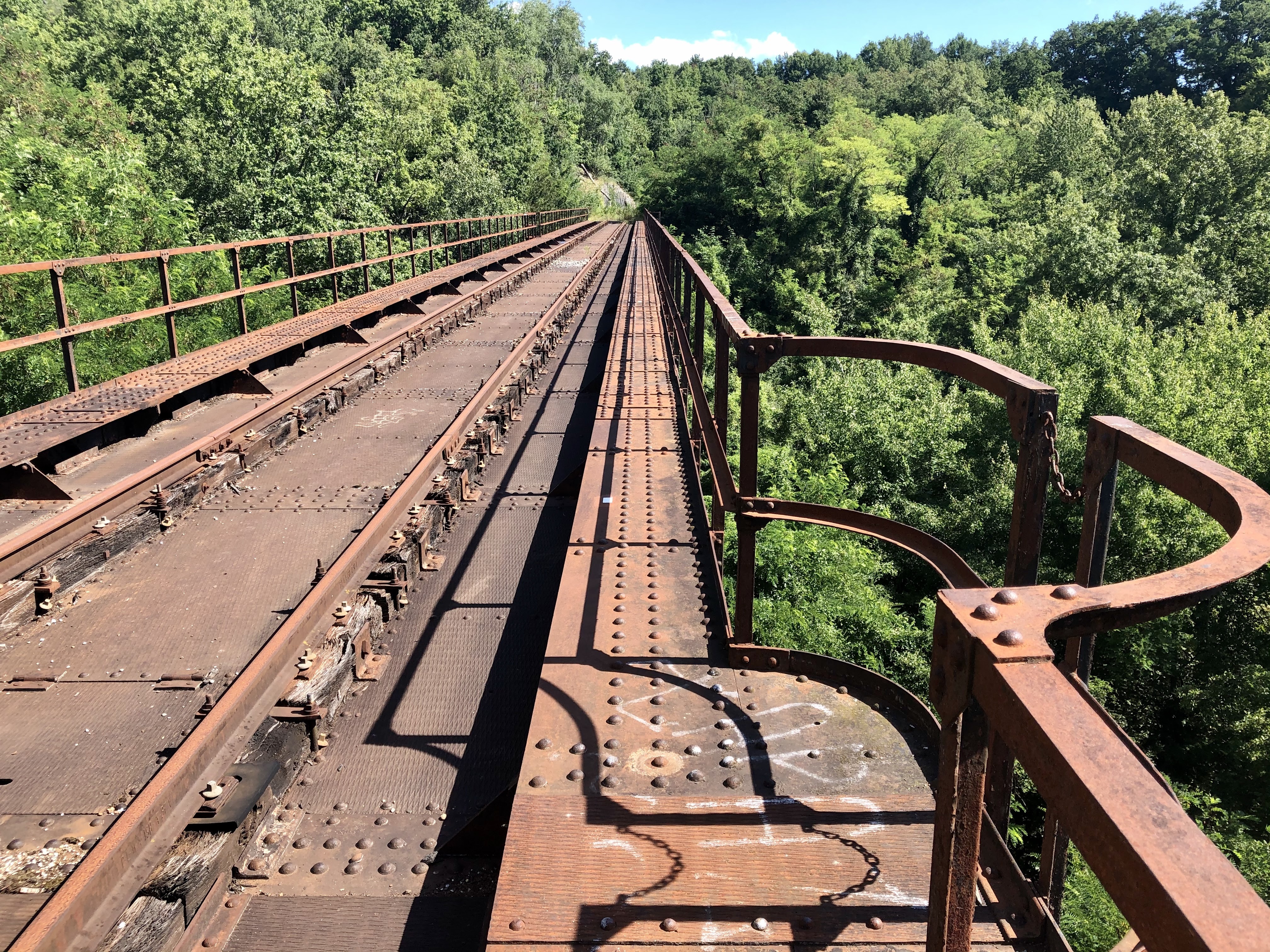
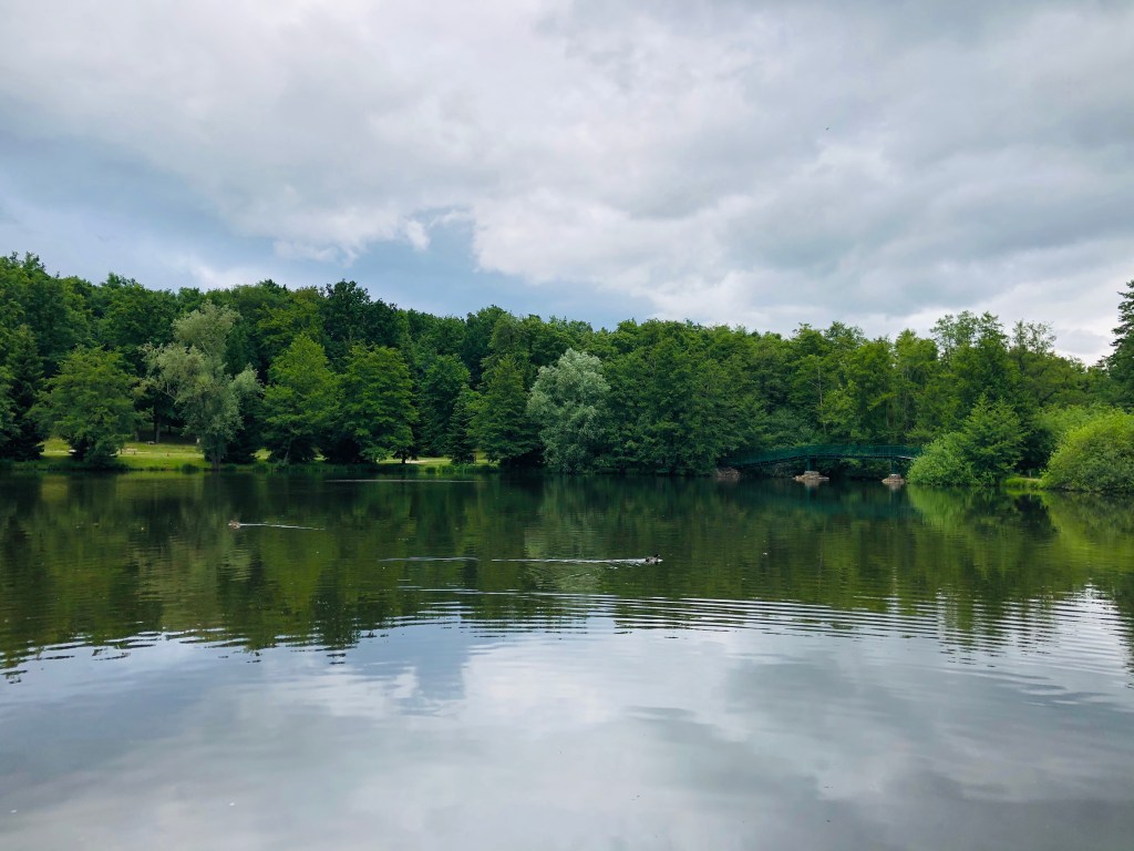
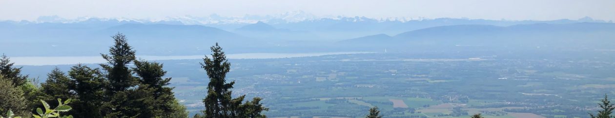
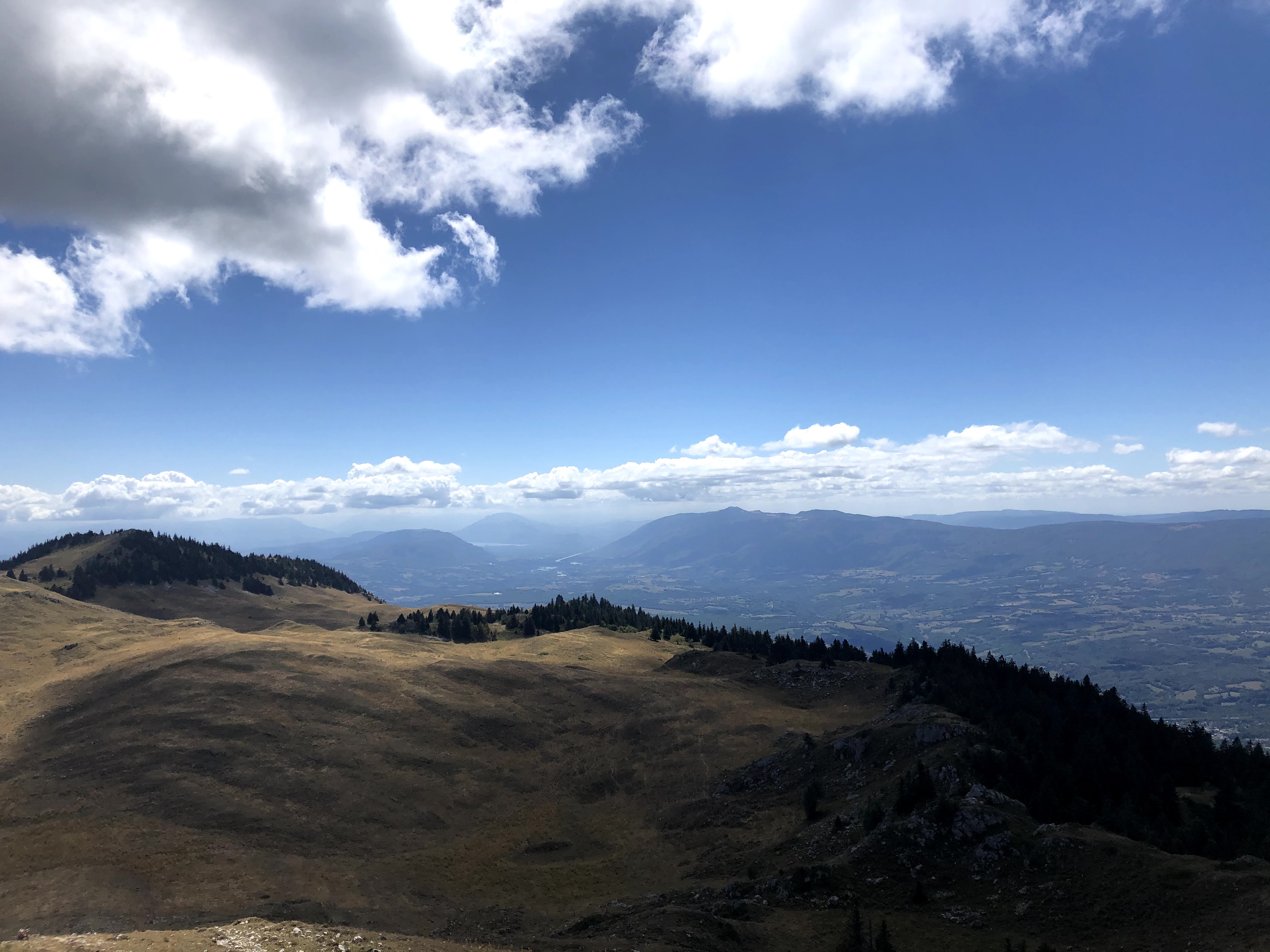
This walk will give you a panoramic view over the whole of the Pays de Gex, Geneva and the Jura mountains.

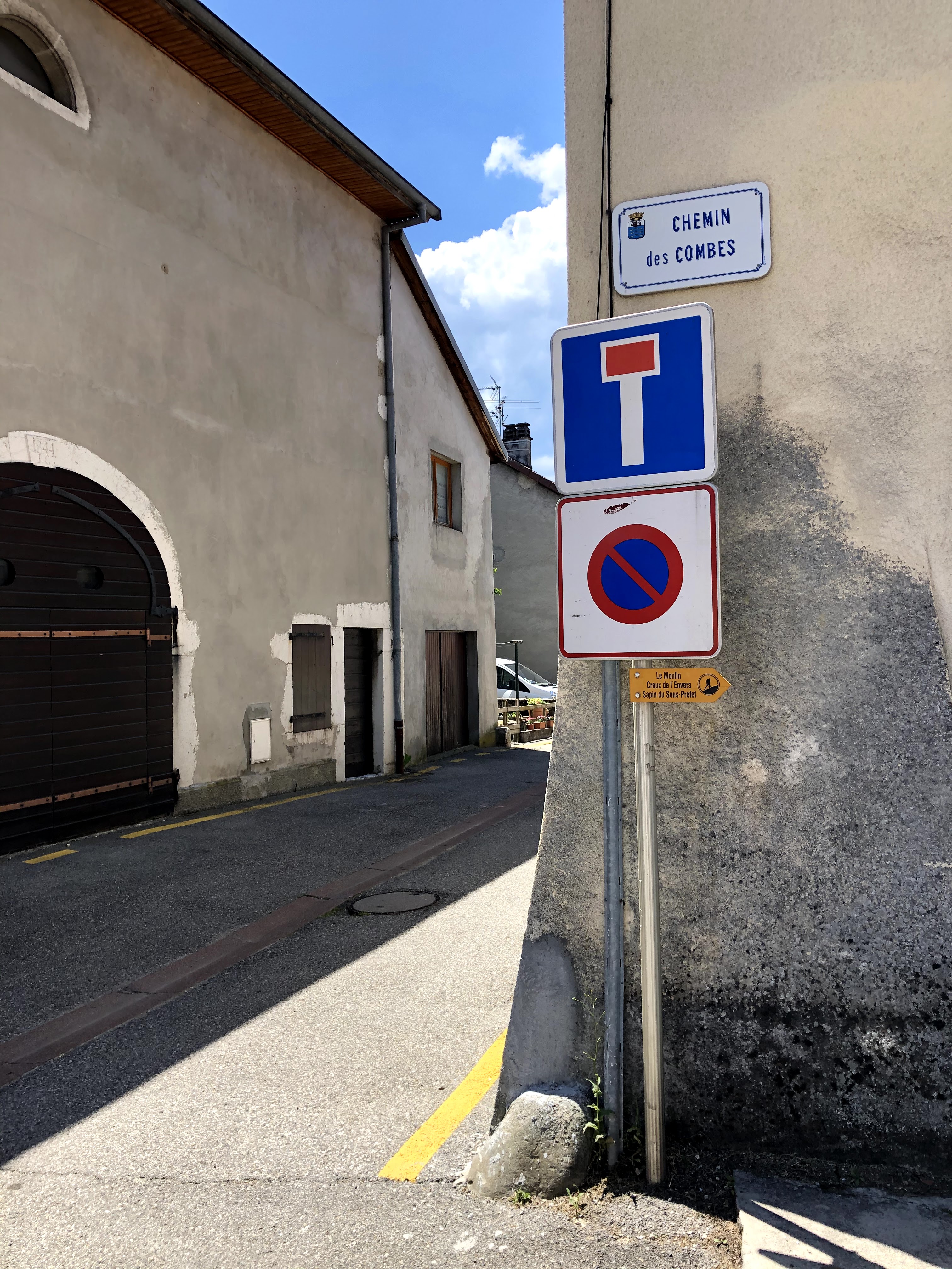
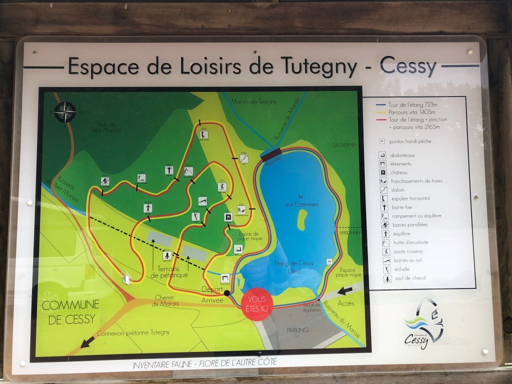
The starting point for this walk is the Refuge Pre Bouillet in Farges. To reach the Refuge Pre Bouillet you drive up Route du Col du Sac (not Cul de Sac!) as far as you get. If you only want to enjoy the view and spend the night, the refuge is available for rent between 1st May and 1st November. You can find more information here.

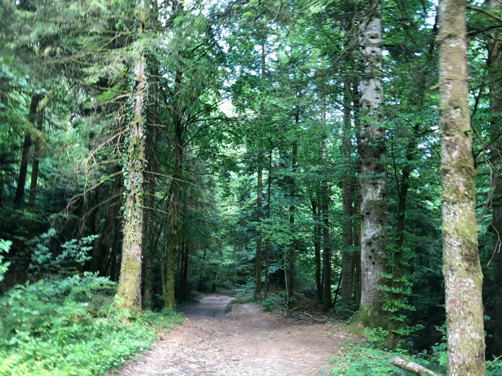
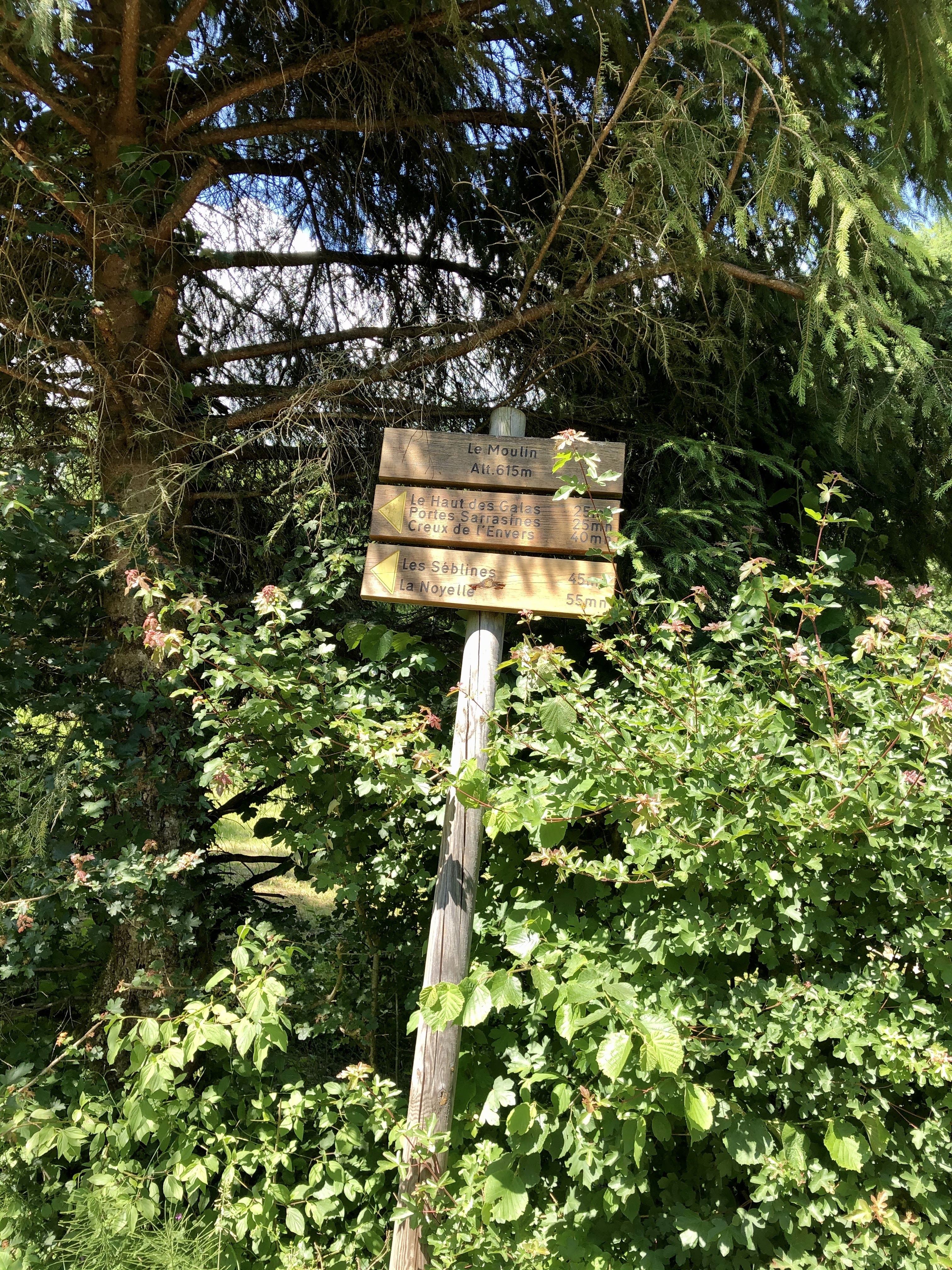
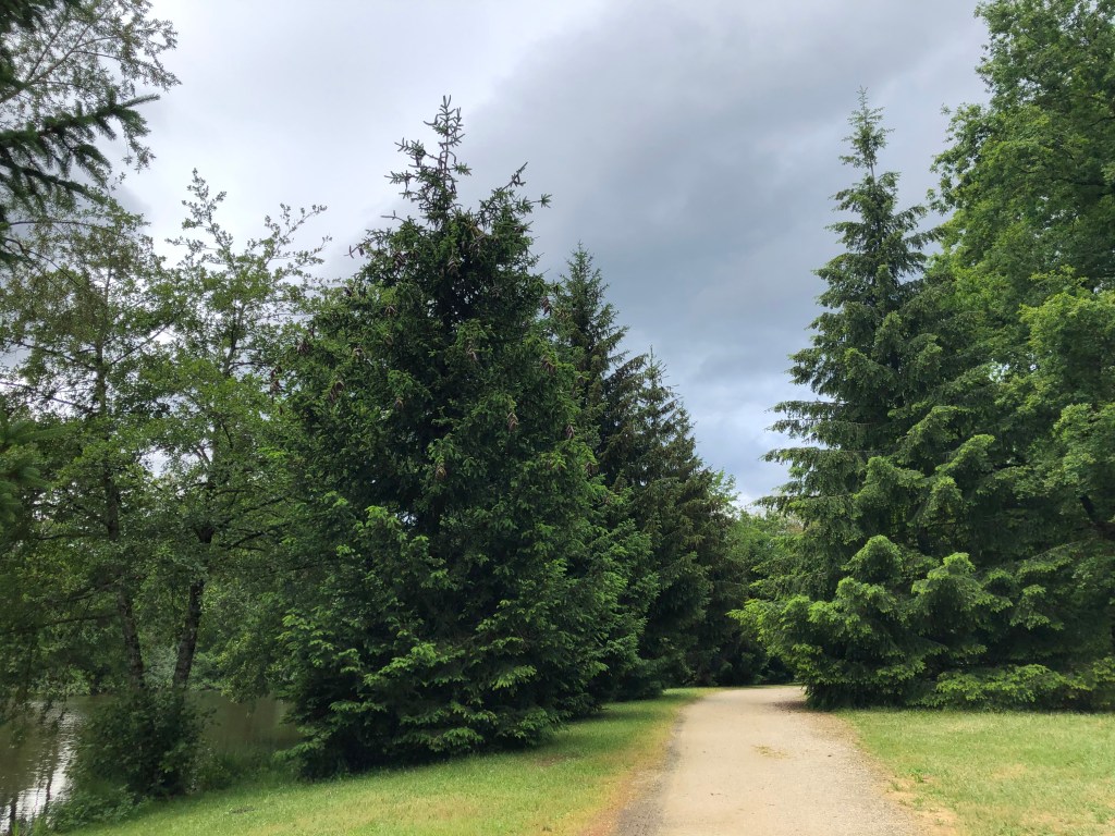
Start by following the yellow signs to Combe du Petit Louis. You will be walking trough a nature reserve and it is recommended that you always stay on the marked path. Between 15 December and 15 May every year it is strictly forbidden to leave the marked path. This is to protect the nature and allow animals to live and reproduce without human interference.

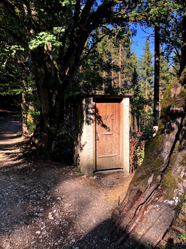
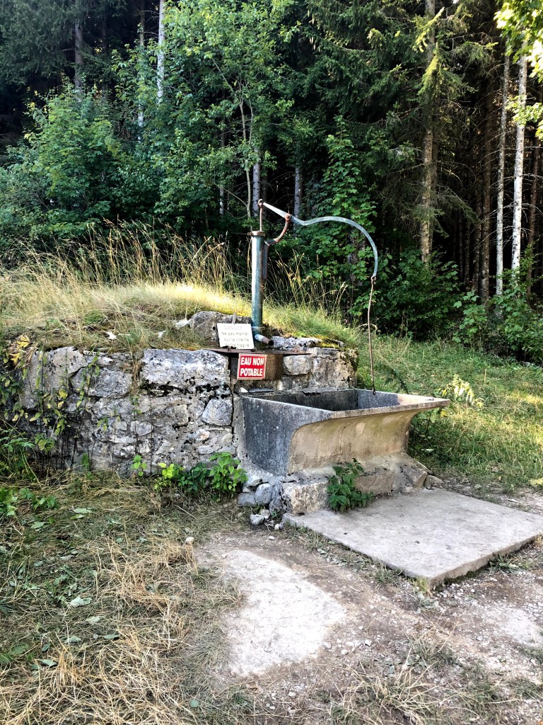
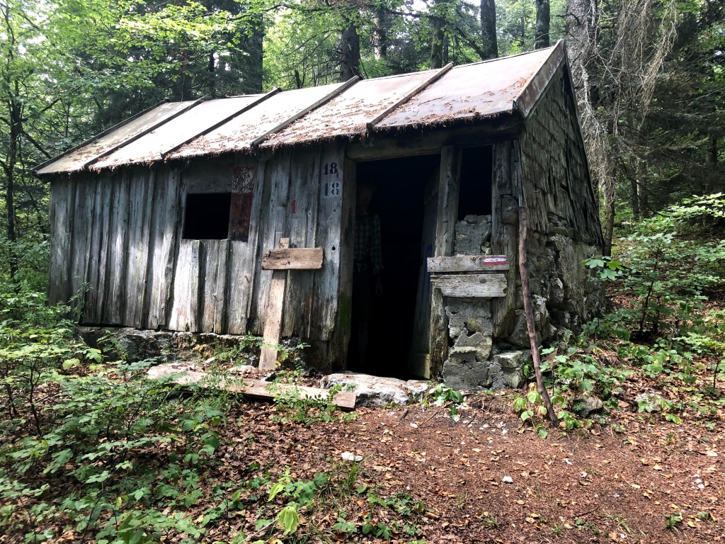
On your way up, you will pass what I believe was once a small chalet for hunters.

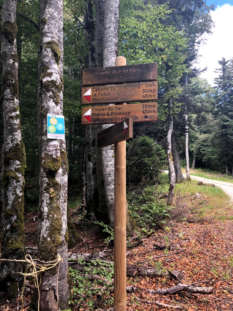
When you reach the Combe du Petit Louis, you continue following the signs to Chalet du Sac and Pierre a Fromage.

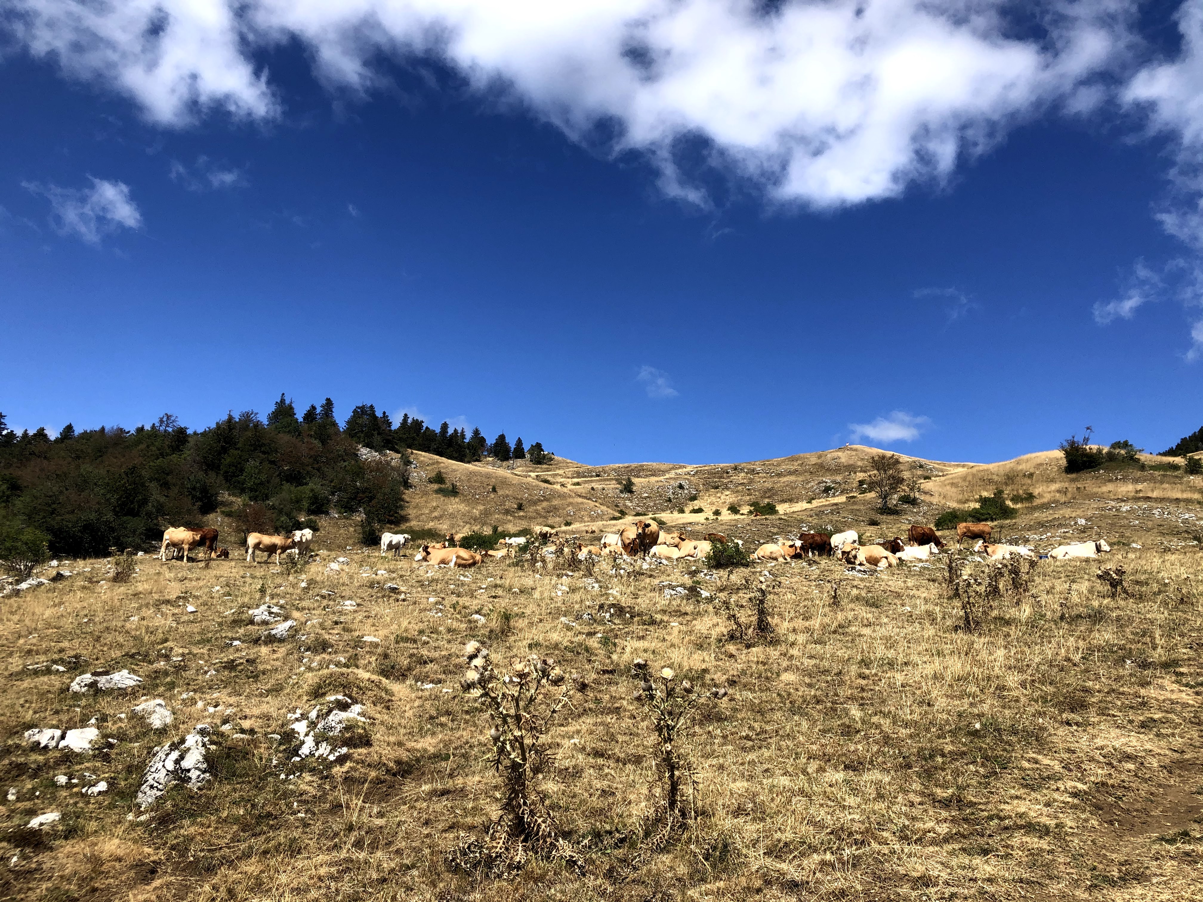
As soon as you emerge above the treeline, you will enter the typical Jura Alpine pastures and walk past several summer chalets.

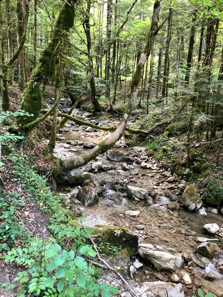
You will also be walking past several “goyas” this is water reserves created in clay sinkholes. The water enters a crack, carries the clay which fills the bottom of the sinkhole, making it waterproof. The shepherds covered the bottom with leaves which they had trampled by the cows in order to solidify it.

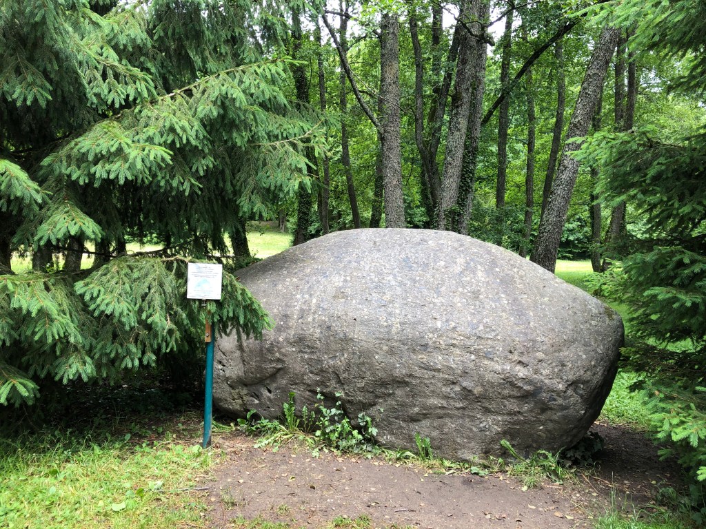
Pierre a Fromage: Several hypotheses exist to explain the name of this strange stone. Some speculate that it was the place where the local lords paid taxes from the production of cheese made during the summer. Others believe that this stone served as a resting place during the transport of the cheeses on people’s backs.

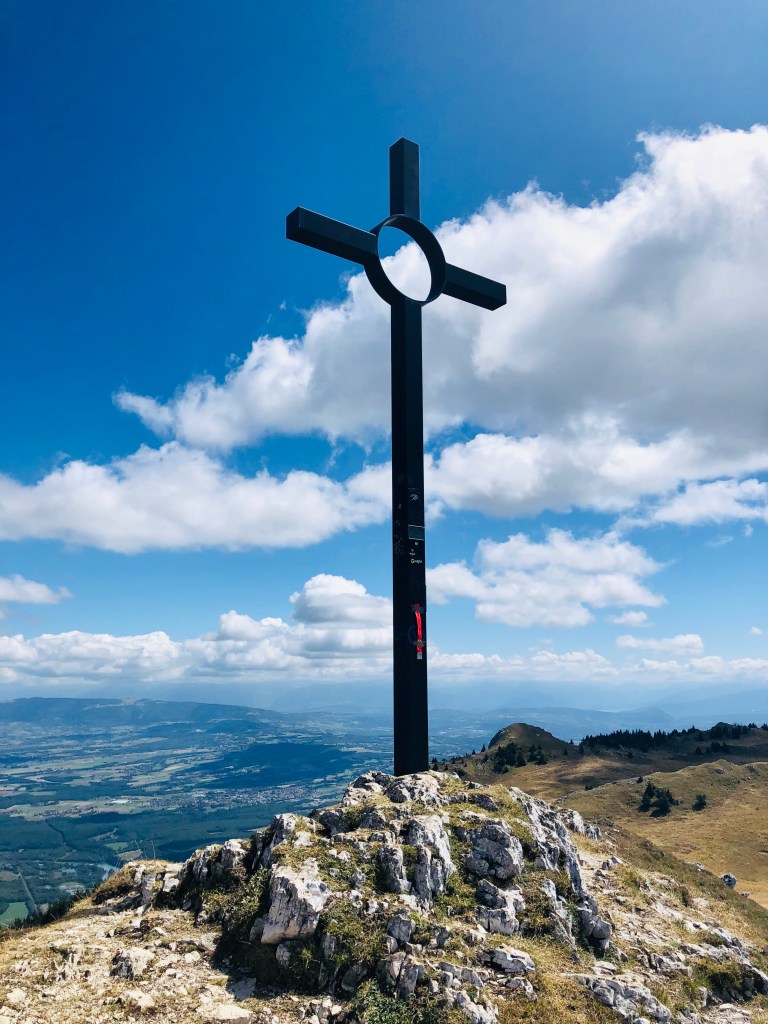
When you have passed la Pierre a Fromage, you walk along a circuit which starts by walking up to Cret de la Goutte. Here, you will have an amazing 360 view of Geneva and the Jura massif. On a good day you can see as far as lac d’Annecy and Lac du Bourget and of course the Alps and Mont Blanc.

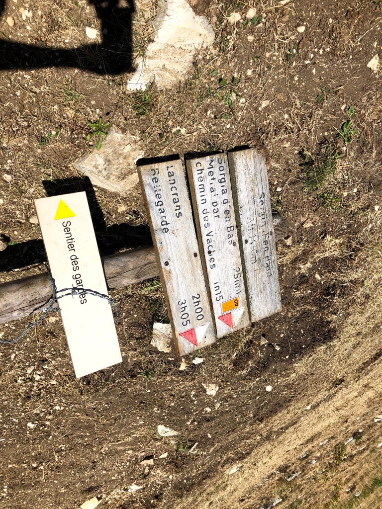
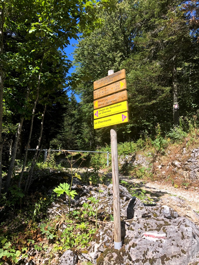
After some time spent admiring this incredible view, continue towards Sorgia en Haut, where you can admire the view of Bellegarde and its surrounding villages. From here, you redescend to Sous Varambon before starting to walk up again towards Chalet de Varambon. After passing the Chalet the Varambon, follow signs towards Pierre a Fromage and follow the same path down to the Refuge du Pre Bouillet.

Happy walking, and feel free to share!

France: Walking along the old railway lines from Collonges Fort-l’Ecluse to Divonne-les-Bains

I am sure a lot of people in the Pays de Gex area still remember the Collonges- Fort-l’Ecluse – Divonne-les-Bains railway line passing through Pays de Gex.

I arrived here for the first time in the late nineties, and to start with I was always careful when approaching a train crossing. I was soon told there was no need to worry about being hit by trains since the line had already been closed for many years.

Later, I remember hearing people claiming to have seen recent trains, and I remember we tried (after giving them incredulous glances at first) to work out how that could at all be possible. You’re probably laughing right now because information is so easy to get hold of these days. Twenty years ago, there were no Facebook groups, and the information on Wikipedia was scarce (especially in French). Exploring this train line has therefore provided me lots of new knowledge about the train line that runs from one side of the Pays de Gex to the other.

Here are some historic facts:

The railway line between Collonges-Fort-l’Ecluse and Divonne-les-Bains was inaugurated in 1899, at the height of the railway craze sweeping through most of Europe. The length of this railway line was at the outset 38 kilometres. Five years later, you could travel all the way to Nyon in Switzerland from Collonges-Fort-l’Ecluse, however, this part was closed and removed in the early 1960’s when the highway was built.

During the second world war the line was closed for traffic.

The last passenger train on the Collonges to Divonne line ran in 1980. I assume this had to do with the proliferation of individual transportation that has changed so many other aspects of our lives: constructions of motorways and more and more households having access to a car. With institutions like CERN and the United Nation setting up offices in Geneva, the traffic patterns had also changed, and the need for travelling into Geneva was probably now much larger than the need for going to exotic places like Bellegarde and Lyon.

In hindsight, I think you could say that the local politicians were short-sighted, because closing this railway line made public transport within Pays de Gex almost impossible for many years. There used to be three to four train services per day, and the communes in Pays de Gex fought to keep their beloved train line, but it was just not profitable enough.

With the large influx of people into the area in the last 20-30 years, and the difficulties we now face going from one village to another, this train service would probably have been very useful today. My own kids very quickly found out that it was easy enough to use public transport to go into Geneva, but using public transport to see their friends around Pays de Gex was impossible for them for a very long time.

Reading up a bit on the history also shed light on these ghost trains I’d heard about and proved that those friends of mine were indeed not delirious or mad after all. From 2001 to 2014, part of the railway line was actually used to transport household waste from Chevry to Bellegarde to be incinerated twice a week.

In 2014, the railway line was closed for good.

From Divonne to Gex, the old railway lines have been transformed into a very nice walking and cycling path.

However, today we’ll focus on walking on the real tracks. A railway walk is perfect whatever the weather. However, if you want to explore the parts that have not been transformed into a walking path, I will recommend long socks and trousers. Speaking from experience, I can say that wearing a pair of shorts and short socks is not ideal on overgrown paths with thorn bushes and nettles. But on the upside, from July to September you don’t need to bring a snack with you as you can feast on the delicious blackberries growing in and around the tracks.

I have done two outings walking on the railway line, for both walks I started in Asserans where I literally parked on the railway lines. I then walked from Asserans to Peron and back and from Asserans to Collonges and back. You will need plan around two and a half to three hours for both walks.

The most scenic walk was from Asserans going west, to Collonges. Here you will be walking through two tunnels and across two spectacular train bridges.

The first is tunnel is Grand Echaud which is 258 meters, followed by the Tunnel des Isles which is 149 meters. In both tunnels, having a flashlight available is handy. Luckily most phones these days have this tool built in.

The two impressive bridges, or viaducts, are the Viaduct de Grand Echaud and Viaduct d’Almogne.

The old station building in Collonges Fort-l’Ecluse is not a very interesting sight and you will probably be better off enjoying the nature, pretty views, tunnels and viaducts on your return to Asserans.

Enjoy walking, and feel free to share!

France: Walking from Gex to Creux de l’Envers

This is a walk that can be done almost the whole year around. In the springtime it is impressive to watch the quantity and speed of the water. In the summer it is nice to have a walk in the shadow of the threes, and in the autumn the colors are impressive. You will find the map at the bottom of this post.

Creux de l’Envers translates into English as a V-shaped north-facing riverine valley.

Did you know that Gex has the largest community forest in the Ain department with 1770 hectares?

Most of the forest, 1640 hectares, is a productive forest, and a small part is protected.

We depend on forests for our survival, from the air we breathe to the wood we use. Besides providing habitats for animals and livelihoods for humans, forests also mitigate or prevent the impacts of natural hazards. The protected forest is usually kept that way for preventing such things as rockfalls, avalanches, erosion or landslides, that otherwise might affect people or assets.

In recent years the climate has become much dryer and significant lack of water can cause stress on the trees. The lack of water can cause the trees to weaken, which will make them much more vulnerable for insect attacks, diseases and death. The forest workers are constantly working on increasing their knowledge on how to best protect and maintain the forest against these changes cause by increased temperatures.

Creux de l’Envers is the source of the river Journans that flows through Gex and other communes in Pays de Gex before it ends up in the Rhone and eventually the Mediterranean Sea.

I started my walk from the Place Perdtemps in Gex where it is easy to find a parking spot for the car. If you want to go even further by car you should drive up Chemin des Galas or Chemin de la Noyelle.

From Place Perdtemps the walk is well marked with yellow signposts. The path is large and even if it goes up it is not hard or difficult to walk.

When you reach this signpost:

you can walk up directly or add a little bit to your walk and go past Portes Sarrasines and La Noyelle.

The legend says that the population of Gex came to take shelter behind this narrow gorge during attempted invasions by the Saracens (which was the term used in the middle ages to refer to Arab Muslims) in the 8th and 9th centuries.

When you reach Creux de l’Envers it is a must to walk down the narrow path to look at the impressive nature and also the wooden sculpture the artist Adrien Meneau has cut out with a chainsaw.

From Creux de l’Envers you can choose to continue walking up to Le Sapin du Sous Préfet. This remarkable tree was measured in 2019 to be 46 meters high and has a diameter of 5,80 meters.

Depending on which way you chose walking up to Creux de l’Envers, you can make it a circular walk, or you can walk back the same way you came up.

Happy walking, and feel free to share!

France: Lake Nantua – The lake surrounded by mountains!

Walking around the Lake in Nantua and visiting the museum dedicated to the French Resistance.

If you live in the Pays de Gex or Geneva area, have you taken some time to visit Nantua?

This little town used to be on the main route between Geneva and Lyon. Since the motorway came into existence, people tend to pass it on the impressive viaduct, barely getting a few glimpses of the small town and adjacent lake before entering a tunnel.

The drive there should take you just under an hour, depending on where you live. Why not take that old route to Lyon, passing Chatillon-en-Michaille and Saint Germain de Joux. This should take just a couple of minutes longer than the motorway (according to my GPS), and you won’t have to pay the motorway fee.

I have wanted for many years to verify the possibility of walking around all of Lake Nantua. As it turns out, waiting for so long was actually a good thing. A beautiful walkway has recently been built around the whole lake and the inauguration took place only last year.

If you visit Nantua on a Saturday afternoon or Sunday, the path along the south side of the lake is even closed for cars, making the walk even nicer. There is a nice big parking by the lake in Nantua, but I believe it must be packed on nice and sunny days. If this is the case, you could try your luck at the other end of the lake, in one of the small towns of Montreal-la-Cluse or Port and start your walk from there. There are also some smaller parking areas along the north side of the lake.

You will find the map of the walk at the bottom of the post. If you are an adult it should take you no more than around 1,5 hours to walk around the whole lake. However, you may want to stop for a picnic, either at one of the benches somewhere along the lake path, or in Montreal-la-Cluse where there is a big park with picnic tables. It is actually forbidden to go for a swim in most of the lake, apart from the designated areas close to Nantua where there are stairs installed for entering the water and a special peddling pool for smaller children.

Around the lake you will find that you can do many types of water sports, including sailing, diving and fishing.

If you start your walk in Nantua, going clockwise around the lake, you will be passing a memorial site for victims deported to concentration camps during world war two. In the Ain department, the resistance against both the occupying Germans and the Vichy government was particularly strong. The monument was inaugurated in 1949 and is a symbol of hope and the right to freedom for all. It has the names engraved of the 595 people who died and were never able to return home. It is very hard to walk away untouched by all the suffering these poor souls must have gone through.

After completing our walk, we visited the Musée de la Resistance et Déportation in Nantua. This museum offers great insights into the resistance movement in the region during the second world war. Most of their information is also provided in English. Since our visit took place right after the opening after the COVID-19 confinement in 2020, there were still restrictions on many things, such as the number of people allowed at any time. Also, we could not borrow any of the audio devises and we could not take any leaflets. The staff however was super friendly and made the visit extremely pleasant in spite of the restrictions.

I strongly advice to set enough time aside for a visit to the museum, either before or after the walk, because this part of the local history is very fascinating and there is a lot to take in.

I hope you enjoy visiting Nantua!

France: Etang de Cessy – Lake Cessy

Espace de Loisire de Tutegny

Accessible for all and open all year round

You will find the map on the bottom of this post.

Distance: from 700 m to 2,165 m

Every time I come here, I’m stunned by how beautiful and well maintained this little lake is. It’s clear that many people treasure this little hidden gem of our region.

On the little hill behind the lake you will also find paths lined with wooden gym equipment, available for free for everyone.

The commune of Cessy has created a rather big car park and you will find benches, picnic tables and barbeques, making this an ideal outing on a nice summer day. Being in France you will of course also be able to play Petanque on the two lanes created especially for this activity.

The walk around the small lake is only 700 meters but feels much longer because you will be busy looking at the flowers and bird life.  Being surrounded by the Jura mountains on one side and the Alps on the other is also adding to the beauty of this site.

For small children this is a true paradise with so much to see and do. They will quickly forget complaining about being tired.

If you look closely you will see several big rocks. These were probably transported here all the way from Martigny in Switzerland by the ice thousands of years ago, when glaciers ruled this part of Europe.

If you think walking 700 meters is not enough, you should stroll up the little hill and make use of the sports equipment you find along the route.

Finally, if you have purchased a fishing licence (www.cartedepeche.fr), you could try catching a carpe, pike or any of the other species found in the lake.

Happy walking, and feel free to share!